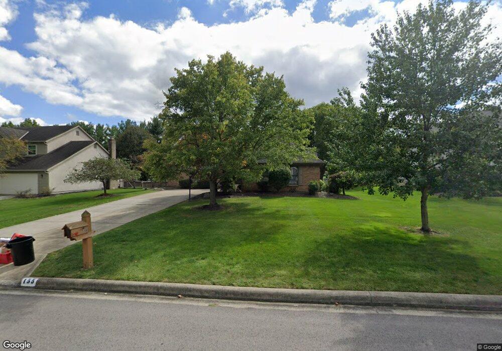
155 Wallsend Ct Powell, OH 43065
Estimated Value: $505,000 - $588,000
3
Beds
2
Baths
2,800
Sq Ft
$193/Sq Ft
Est. Value
About This Home
This home is located at 155 Wallsend Ct, Powell, OH 43065 and is currently estimated at $540,844, approximately $193 per square foot. 155 Wallsend Ct is a home located in Delaware County with nearby schools including Tyler Run Elementary School, Olentangy Liberty Middle School, and Olentangy Liberty High School.
Ownership History
Date
Name
Owned For
Owner Type
Purchase Details
Closed on
Dec 17, 2015
Sold by
Rinehart John A and Rinehart Sharon L
Bought by
Rinehart Jeffrey S
Current Estimated Value
Purchase Details
Closed on
Jan 26, 2010
Sold by
Rinehart John A and Rinehart Sharon
Bought by
Rinehart John A and Rinehart Sharon
Purchase Details
Closed on
Nov 9, 1999
Sold by
Burak William E
Bought by
Rinehart John A and Rinehart Sharon
Create a Home Valuation Report for This Property
The Home Valuation Report is an in-depth analysis detailing your home's value as well as a comparison with similar homes in the area
Home Values in the Area
Average Home Value in this Area
Purchase History
We collect this data history from publicly available records. To have your information removed, we recommend requesting removal directly through your county’s website.
| Date | Buyer | Sale Price | Title Company |
|---|---|---|---|
| Rinehart Jeffrey S | -- | Attorney | |
| Rinehart John A | -- | None Available | |
| Rinehart John A | -- | Attorney | |
| Rinehart John A | $230,000 | -- |
Source: Public Records
Mortgage History
We collect this data history from publicly available records. To have your information removed, we recommend requesting removal directly through your county’s website.
| Date | Status | Borrower | Loan Amount |
|---|---|---|---|
| Closed | Rinehart John A | -- |
Source: Public Records
Tax History
| Year | Tax Paid | Tax Assessment Tax Assessment Total Assessment is a certain percentage of the fair market value that is determined by local assessors to be the total taxable value of land and additions on the property. | Land | Improvement |
|---|---|---|---|---|
| 2024 | $7,316 | $149,420 | $36,580 | $112,840 |
| 2023 | $7,377 | $149,420 | $36,580 | $112,840 |
| 2022 | $6,936 | $113,300 | $24,500 | $88,800 |
| 2021 | $7,056 | $113,300 | $24,500 | $88,800 |
| 2020 | $7,081 | $113,300 | $24,500 | $88,800 |
| 2019 | $6,070 | $101,710 | $24,500 | $77,210 |
| 2018 | $6,140 | $101,710 | $24,500 | $77,210 |
| 2017 | $5,891 | $95,550 | $20,370 | $75,180 |
| 2016 | $6,152 | $95,550 | $20,370 | $75,180 |
| 2015 | $5,598 | $95,550 | $20,370 | $75,180 |
| 2014 | $5,673 | $95,550 | $20,370 | $75,180 |
| 2013 | $5,658 | $93,350 | $20,370 | $72,980 |
Source: Public Records
Map
Nearby Homes
- 165 Briarbend Blvd
- 230 Cavenaugh Ct
- 133 Wagon Trail Ct
- 203 Wagon Trail S
- 164 Stamford Dr
- 52 Beech Ridge Dr
- 83 Forest Ridge Ct
- 374 Rosewood Ct
- 537 Wynridge Ct
- 150 Barrington Place
- 149 Chedworth Row
- 261 Whitaker Ave N
- 2393 Cove Point Ct
- 104 Encore Park Bend S
- 116 Encore Park Bend S
- 116 Encore Park Bend
- 630 Woods Hollow Ln
- 121 Encore Park Bend N
- 122 Encore Park Bend N
- 121 Encore Park Bend
- 167 Wallsend Ct
- 143 Wallsend Ct
- 1164 Wallsend Ct
- 177 Wallsend Ct
- 135 Wallsend Ct
- 152 Wallsend Ct
- 142 Wallsend Ct
- 164 Wallsend Ct
- 125 Wallsend Ct
- 187 Wallsend Ct
- 140 Whitegate Ct
- 130 Wallsend Ct
- 174 Wallsend Ct
- 139 Whitegate Ct
- 184 Wallsend Ct
- 120 Wallsend Ct
- 150 Whitegate Ct
- 115 Wallsend Ct
- 267 Oquinn Ct
- 333 Briarbend Blvd
Your Personal Tour Guide
Ask me questions while you tour the home.