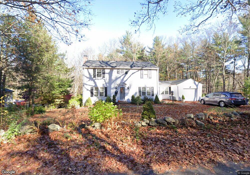
155 Walnut St Shrewsbury, MA 01545
Estimated Value: $666,512 - $789,000
4
Beds
2
Baths
1,896
Sq Ft
$384/Sq Ft
Est. Value
About This Home
This home is located at 155 Walnut St, Shrewsbury, MA 01545 and is currently estimated at $727,878, approximately $383 per square foot. 155 Walnut St is a home located in Worcester County with nearby schools including Floral Street School, Sherwood Middle School, and Oak Middle School.
Ownership History
Date
Name
Owned For
Owner Type
Purchase Details
Closed on
Aug 30, 2010
Sold by
Maynard Robert J and Maynard Scott M
Bought by
Carroca Catherine A
Current Estimated Value
Home Financials for this Owner
Home Financials are based on the most recent Mortgage that was taken out on this home.
Original Mortgage
$230,000
Outstanding Balance
$151,687
Interest Rate
4.57%
Mortgage Type
Purchase Money Mortgage
Estimated Equity
$576,191
Purchase Details
Closed on
Dec 8, 2008
Sold by
Maynard Helen and Maynard
Bought by
Maynard Kenneth P and Maynard Robert J
Create a Home Valuation Report for This Property
The Home Valuation Report is an in-depth analysis detailing your home's value as well as a comparison with similar homes in the area
Home Values in the Area
Average Home Value in this Area
Purchase History
| Date | Buyer | Sale Price | Title Company |
|---|---|---|---|
| Carroca Catherine A | $332,000 | -- | |
| Carroca Catherine A | $332,000 | -- | |
| Carroca Catherine A | $332,000 | -- | |
| Maynard Kenneth P | -- | -- | |
| Maynard Kenneth P | -- | -- | |
| Maynard Kenneth P | -- | -- | |
| Maynard Helen | -- | -- | |
| Maynard Helen | -- | -- |
Source: Public Records
Mortgage History
| Date | Status | Borrower | Loan Amount |
|---|---|---|---|
| Open | Carroca Catherine A | $230,000 | |
| Closed | Carroca Catherine A | $230,000 |
Source: Public Records
Tax History
| Year | Tax Paid | Tax Assessment Tax Assessment Total Assessment is a certain percentage of the fair market value that is determined by local assessors to be the total taxable value of land and additions on the property. | Land | Improvement |
|---|---|---|---|---|
| 2025 | $78 | $644,700 | $265,500 | $379,200 |
| 2024 | $7,604 | $614,200 | $252,800 | $361,400 |
| 2023 | $7,185 | $547,600 | $252,800 | $294,800 |
| 2022 | $6,759 | $479,000 | $252,800 | $226,200 |
| 2021 | $5,434 | $412,000 | $202,300 | $209,700 |
| 2020 | $5,173 | $414,800 | $202,300 | $212,500 |
| 2019 | $4,925 | $391,800 | $186,300 | $205,500 |
| 2018 | $4,751 | $375,300 | $179,200 | $196,100 |
| 2017 | $4,473 | $348,600 | $162,600 | $186,000 |
| 2016 | $4,463 | $343,300 | $152,800 | $190,500 |
| 2015 | $4,509 | $341,600 | $148,400 | $193,200 |
Source: Public Records
Map
Nearby Homes
- 48 Bumble Bee Cir
- 98R Walnut St
- 24 Lebeaux Dr
- 19 Greenwood Ave
- 65 Commons Dr Unit 506
- 85 Commons Dr Unit 210
- 22 Hitching Post Ln
- 49 Brook St
- 7 Green St Unit 101
- 7 Green St Unit 103
- 7 Green St Unit 109
- 7 Green St Unit 107
- 7 Green St Unit 108
- 7 Green St Unit 202
- 7 Green St Unit 104
- 7 Green St Unit 110
- 14 Hillside Rd
- 6 Hillside Rd
- 562 South St
- 1 Falcon Dr
Your Personal Tour Guide
Ask me questions while you tour the home.