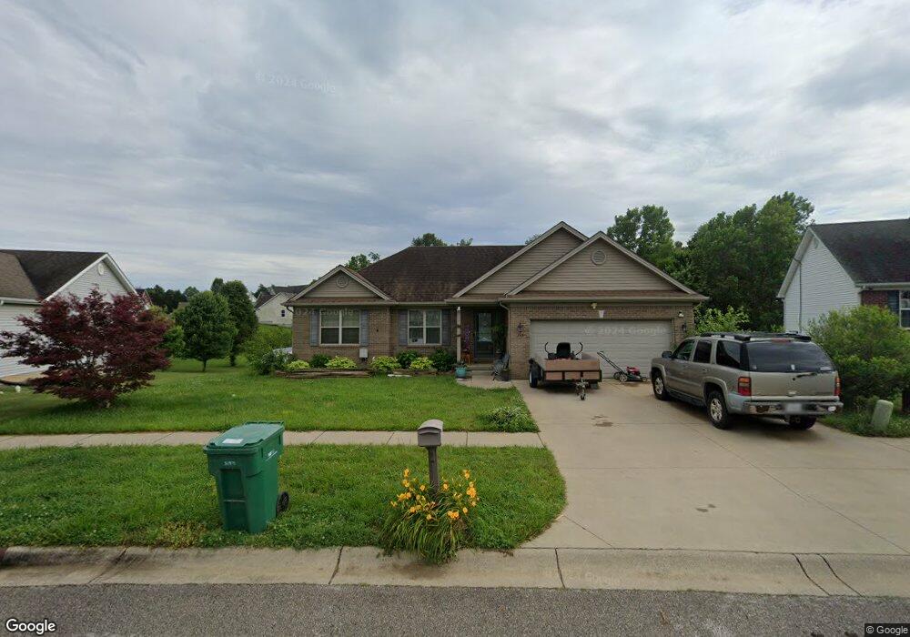
155 Wiltshire Ave Vine Grove, KY 40175
Estimated Value: $250,565 - $304,000
3
Beds
2
Baths
1,434
Sq Ft
$188/Sq Ft
Est. Value
About This Home
This home is located at 155 Wiltshire Ave, Vine Grove, KY 40175 and is currently estimated at $270,141, approximately $188 per square foot. 155 Wiltshire Ave is a home located in Hardin County with nearby schools including Meadow View Elementary School, James T. Alton Middle School, and North Hardin High School.
Ownership History
Date
Name
Owned For
Owner Type
Purchase Details
Closed on
Feb 27, 2009
Sold by
Ed Cecil Construction Inc
Bought by
Shepherd David A and Shepherd Juanita
Current Estimated Value
Home Financials for this Owner
Home Financials are based on the most recent Mortgage that was taken out on this home.
Original Mortgage
$156,120
Outstanding Balance
$98,093
Interest Rate
5.15%
Mortgage Type
FHA
Estimated Equity
$172,048
Create a Home Valuation Report for This Property
The Home Valuation Report is an in-depth analysis detailing your home's value as well as a comparison with similar homes in the area
Home Values in the Area
Average Home Value in this Area
Purchase History
| Date | Buyer | Sale Price | Title Company |
|---|---|---|---|
| Shepherd David A | $159,000 | Executive Title Company |
Source: Public Records
Mortgage History
| Date | Status | Borrower | Loan Amount |
|---|---|---|---|
| Open | Shepherd David A | $156,120 |
Source: Public Records
Tax History Compared to Growth
Tax History
| Year | Tax Paid | Tax Assessment Tax Assessment Total Assessment is a certain percentage of the fair market value that is determined by local assessors to be the total taxable value of land and additions on the property. | Land | Improvement |
|---|---|---|---|---|
| 2025 | $155,200 | $204,300 | $25,400 | $178,900 |
| 2024 | $1,493 | $204,300 | $25,400 | $178,900 |
| 2023 | $244 | $169,600 | $25,400 | $144,200 |
| 2022 | $1,615 | $169,600 | $25,400 | $144,200 |
| 2021 | $1,836 | $169,600 | $25,400 | $144,200 |
| 2020 | $1,853 | $169,600 | $25,400 | $144,200 |
| 2019 | $248 | $159,000 | $0 | $0 |
| 2018 | $1,702 | $159,000 | $0 | $0 |
| 2017 | $1,694 | $159,000 | $0 | $0 |
| 2016 | $248 | $159,000 | $0 | $0 |
| 2015 | $1,389 | $156,500 | $0 | $0 |
| 2012 | -- | $159,000 | $0 | $0 |
Source: Public Records
Map
Nearby Homes
- 149 Red Hawk Dr
- 143 Red Hawk Dr
- 139 Red Hawk Dr
- Ashton Plan at Falcon Heights
- 132 Red Hawk Dr
- 130 Red Hawk Dr
- 126 Red Hawk Dr
- 128 Red Hawk Dr
- 119 Red Hawk Dr
- 114 S Osprey Ct
- 1435 Hawkins Dr
- 1362 Darlene Cir
- 2424 Hill St
- 1165 N Logsdon Pkwy
- 806 Yates Dr
- Lot 37 Taft Trail
- LOT 39 Taft Trail
- Lot 36 Taft Trail
- 1433 Crestview Dr
- 1465 Crestview Dr
- 157 Wiltshire Ave
- 153 Wiltshire Ave
- 150 Wiltshire Ave
- 159 Wiltshire Ave
- 151 Wiltshire Ave
- 152 Wiltshire Ave
- 148 Wiltshire Ave
- 161 Wiltshire Ave
- 107 Ridgemont Dr
- 154 Wiltshire Ave
- 110 Maxwell Ct
- 105 Ridgemont Dr
- 146 Wiltshire Ave
- 111 Maxwell Ct
- 163 Wiltshire Ave
- 156 Wiltshire Ave
- 103 Ridgemont Dr
- 106 Wendover Ct
- 144 Wiltshire Ave
- 147 Wiltshire Ave