1550 10th St NW Buffalo, MN 55313
Estimated Value: $713,000 - $832,000
About This Home
This home is located at 1550 10th St NW, Buffalo, MN 55313 and is currently estimated at $794,542, approximately $132 per square foot. 1550 10th St NW is a home located in Wright County with nearby schools including Northwinds Elementary School, Buffalo Community Middle School, and Buffalo Senior High School.
Ownership History
We collect this data history from publicly available records. To have your information removed, we recommend requesting removal directly through your county’s website.
Purchase Details
Home Financials for this Owner
Home Financials are based on the most recent Mortgage that was taken out on this home.Purchase Details
Purchase History
We collect this data history from publicly available records. To have your information removed, we recommend requesting removal directly through your county’s website.
| Date | Buyer | Sale Price | Title Company |
|---|---|---|---|
| $488,900 | Central Land Title | ||
| $47,500 | -- |
Mortgage History
We collect this data history from publicly available records. To have your information removed, we recommend requesting removal directly through your county’s website.
| Date | Status | Borrower | Loan Amount |
|---|---|---|---|
| Open | $391,120 |
Tax History
We collect this data history from publicly available records. To have your information removed, we recommend requesting removal directly through your county’s website.
| Year | Tax Paid | Tax Assessment Tax Assessment Total Assessment is a certain percentage of the fair market value that is determined by local assessors to be the total taxable value of land and additions on the property. | Land | Improvement |
|---|---|---|---|---|
| 2025 | $6,904 | $711,000 | $183,100 | $527,900 |
| 2024 | $6,574 | $696,800 | $169,800 | $527,000 |
| 2023 | $6,038 | $708,300 | $169,800 | $538,500 |
| 2022 | $5,444 | $610,400 | $156,300 | $454,100 |
| 2021 | $5,472 | $497,100 | $112,600 | $384,500 |
| 2020 | $5,558 | $489,900 | $110,100 | $379,800 |
| 2019 | $4,918 | $490,000 | $0 | $0 |
| 2018 | $4,608 | $478,200 | $0 | $0 |
| 2017 | $4,432 | $455,500 | $0 | $0 |
| 2016 | $4,532 | $0 | $0 | $0 |
| 2015 | $4,130 | $0 | $0 | $0 |
| 2014 | -- | $0 | $0 | $0 |
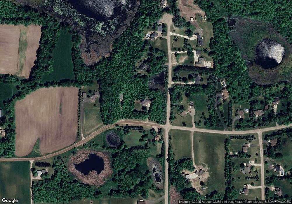
Map
- 981 Barton Ave NW
- 1487 Baker Ave NW
- 2xxx Baker Ave NW
- TBD Baker Ave NW
- 1405 Landsdown Rd
- 1233 Crofoot Ave NW
- 605 Amber Ln
- 603 Bluffs Pkwy
- 110 Sundance Ridge
- 2368 Barton Ave NW
- 713 Overlook Dr
- 1478 Dempsey Ave NW
- 1118 25th St NW
- 903 Circle Dr
- TBD Lake Blvd
- 104 Dempsey Ave SW
- 1225 Westfarm Ln
- 3510 15th St NW
- 525 County Road 12 S
- 203 2nd Ave NW
- XXXXX Bice Ave NW
- XXXX Bice Ave NW
- 1171 Bice Ave NW
- 1525 10th St NW
- 1636 10th St NW
- 1144 Bice Ave NW
- 1192 Bice Ave NW
- 1219 Bice Ave NW
- L4 B2 Bice-Avenue-nw
- L2 B1 Bice-Avenue-nw
- 1230 Bice Ave NW
- 1406 10th St NW
- L3 B1 Bice-Avenue-nw
- L2 B2 Bice-Avenue-nw
- 4XX Bice Ave NW
- 7XX Bice Ave NW
- 6XX Bice Ave NW
- 1XX Bice Ave NW
- L4 B1 Bice Ave NW
- L3 B1 Bice Ave NW
Ask me questions while you tour the home.