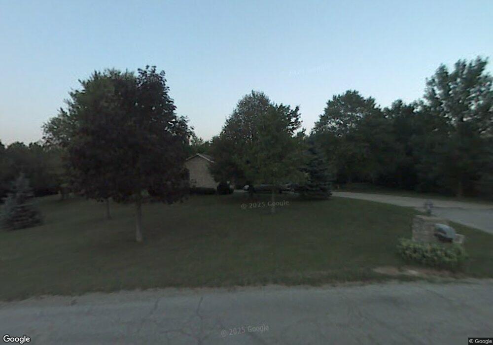
1550 Bending Tree Dr New Carlisle, OH 45344
Estimated Value: $289,000 - $437,000
4
Beds
3
Baths
2,380
Sq Ft
$166/Sq Ft
Est. Value
About This Home
This home is located at 1550 Bending Tree Dr, New Carlisle, OH 45344 and is currently estimated at $394,140, approximately $165 per square foot. 1550 Bending Tree Dr is a home located in Clark County with nearby schools including Northwestern Elementary School and Northwestern Junior/Senior High School.
Ownership History
Date
Name
Owned For
Owner Type
Purchase Details
Closed on
Sep 3, 2015
Sold by
Haiges Beverly Ann
Bought by
Vernon Roy
Current Estimated Value
Purchase Details
Closed on
Oct 14, 1998
Sold by
Hayward Helen L
Bought by
Haiges Richard W and Haiges Beverly Ann
Home Financials for this Owner
Home Financials are based on the most recent Mortgage that was taken out on this home.
Original Mortgage
$151,000
Interest Rate
6.88%
Create a Home Valuation Report for This Property
The Home Valuation Report is an in-depth analysis detailing your home's value as well as a comparison with similar homes in the area
Home Values in the Area
Average Home Value in this Area
Purchase History
| Date | Buyer | Sale Price | Title Company |
|---|---|---|---|
| Vernon Roy | $140,000 | Ohio Real Estate Title | |
| Haiges Richard W | $202,500 | -- |
Source: Public Records
Mortgage History
| Date | Status | Borrower | Loan Amount |
|---|---|---|---|
| Previous Owner | Haiges Richard W | $151,000 |
Source: Public Records
Tax History Compared to Growth
Tax History
| Year | Tax Paid | Tax Assessment Tax Assessment Total Assessment is a certain percentage of the fair market value that is determined by local assessors to be the total taxable value of land and additions on the property. | Land | Improvement |
|---|---|---|---|---|
| 2024 | $4,298 | $103,100 | $25,080 | $78,020 |
| 2023 | $4,298 | $103,100 | $25,080 | $78,020 |
| 2022 | $4,435 | $103,100 | $25,080 | $78,020 |
| 2021 | $3,737 | $79,420 | $19,450 | $59,970 |
| 2020 | $3,774 | $79,420 | $19,450 | $59,970 |
| 2019 | $3,740 | $79,420 | $19,450 | $59,970 |
| 2018 | $3,715 | $77,730 | $15,270 | $62,460 |
| 2017 | $3,716 | $81,943 | $15,271 | $66,672 |
| 2016 | $4,104 | $81,943 | $15,271 | $66,672 |
| 2015 | $1,742 | $75,132 | $14,543 | $60,589 |
| 2014 | $3,483 | $75,132 | $14,543 | $60,589 |
| 2013 | $3,459 | $75,132 | $14,543 | $60,589 |
Source: Public Records
Map
Nearby Homes
- 6439 Greenridge Ave
- 6105 New Carlisle Pike
- 2430 Myers Rd
- 5171 New Carlisle Pike
- 4904 Alpha Rd
- 96 Eastwood Dr
- 1 Folk Ream Rd
- 00 Folk Ream Rd
- 3172 Folk Ream Rd
- 245 Gordon Rd
- 5095 W National Rd
- 4461 New Carlisle Pike
- 17 Sunset Dr
- 2470 Leon Ln
- 323 Saint Paul Ave
- 224 E Downey Dr
- 6580 Shaler Dr
- 3390 Spence Rd
- 3888 Folk Ream Rd
- 1255 Bischoff Rd
- 1572 Bending Tree Dr
- 1571 Bending Tree Dr
- 1494 Folk Ream Rd
- 1596 Bending Tree Dr
- 1589 Bending Tree Dr
- 1498 Folk Ream Rd
- 6467 Brush Hollow Dr
- 6423 Winding Tree Dr
- 6417 Winding Tree Dr
- 6411 Winding Tree Dr
- 6483 Brush Hollow Dr
- 6405 Winding Tree Dr
- 1650 Cranbrook Dr
- 1631 Bending Tree Dr
- 1667 Bending Tree Dr
- 1583 Folk Ream Rd
- 1690 Cranbrook Dr
- 1688 Bending Tree Dr
- 6432 Winding Tree Dr
- 1529 Folk Ream Rd