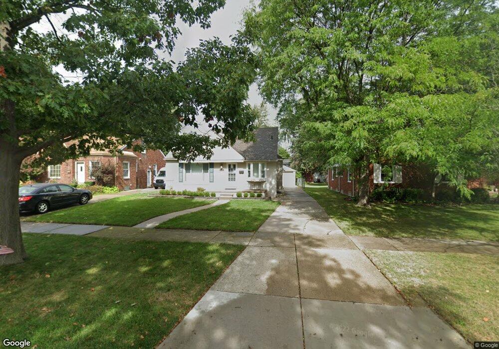
1550 Huntington Blvd Grosse Pointe Woods, MI 48236
Estimated Value: $290,000 - $336,000
3
Beds
2
Baths
1,328
Sq Ft
$235/Sq Ft
Est. Value
About This Home
This home is located at 1550 Huntington Blvd, Grosse Pointe Woods, MI 48236 and is currently estimated at $311,858, approximately $234 per square foot. 1550 Huntington Blvd is a home located in Wayne County with nearby schools including John Monteith Elementary School, Brownell Middle School, and Grosse Pointe North High School.
Ownership History
Date
Name
Owned For
Owner Type
Purchase Details
Closed on
Sep 9, 2009
Sold by
Corrado Mary Grace
Bought by
Federal Home Loan Mortgage Corp
Current Estimated Value
Purchase Details
Closed on
Jan 9, 2004
Sold by
Corrado Mary Grace
Bought by
Corrado Anthony
Purchase Details
Closed on
Feb 22, 2002
Sold by
Cecchini Leo
Bought by
Corrado Mary G
Create a Home Valuation Report for This Property
The Home Valuation Report is an in-depth analysis detailing your home's value as well as a comparison with similar homes in the area
Home Values in the Area
Average Home Value in this Area
Purchase History
| Date | Buyer | Sale Price | Title Company |
|---|---|---|---|
| Federal Home Loan Mortgage Corp | $185,177 | None Available | |
| Corrado Anthony | -- | Fidelity National Title Insu | |
| Corrado Mary G | $175,000 | -- |
Source: Public Records
Tax History Compared to Growth
Tax History
| Year | Tax Paid | Tax Assessment Tax Assessment Total Assessment is a certain percentage of the fair market value that is determined by local assessors to be the total taxable value of land and additions on the property. | Land | Improvement |
|---|---|---|---|---|
| 2025 | $2,733 | $155,400 | $0 | $0 |
| 2024 | $2,733 | $155,800 | $0 | $0 |
| 2023 | $2,628 | $133,000 | $0 | $0 |
| 2022 | $4,116 | $118,000 | $0 | $0 |
| 2021 | $3,924 | $116,600 | $0 | $0 |
| 2020 | $4,040 | $112,700 | $0 | $0 |
| 2019 | $2,392 | $110,200 | $0 | $0 |
| 2018 | $2,351 | $100,300 | $0 | $0 |
| 2017 | $2,732 | $99,800 | $0 | $0 |
| 2016 | $3,725 | $89,700 | $0 | $0 |
| 2015 | $6,456 | $81,900 | $0 | $0 |
| 2013 | $6,140 | $62,600 | $0 | $0 |
| 2012 | -- | $60,900 | $17,900 | $43,000 |
Source: Public Records
Map
Nearby Homes
- 19980 W Clairview Ct
- 463 Colonial Ct
- 1764 Prestwick Rd
- 1806 Oxford Rd
- 1818 Norwood Dr
- 1922 Oxford Rd
- 1597 Newcastle Rd
- 486 Bournemouth Rd
- 809 Fairford Rd
- 19299 Raymond St
- 21138 Huntington Ave
- 410 Roland Ct
- 2049 Norwood Dr
- 21602 Newcastle Rd
- 21135 Littlestone Rd
- 19242 Eastborne St
- 21237 Severn Rd
- 19226 Eastborne St
- 21315 Prestwick Ave
- 21216 Brierstone St
- 1562 Huntington Blvd
- 1538 Huntington Blvd
- 1533 Torrey Rd
- 1570 Huntington Blvd
- 1557 Torrey Rd
- 1528 Huntington Blvd
- 1584 Huntington Blvd
- 1545 Torrey Rd
- 1521 Torrey Rd
- 1497 Torrey Rd
- 1509 Torrey Rd
- 1569 Torrey Rd
- 1510 Huntington Blvd
- 1577 Huntington Blvd
- 1598 Huntington Blvd
- 1539 Huntington Blvd
- 1581 Torrey Rd
- 1504 Huntington Blvd
- 1589 Huntington Blvd
- 1593 Torrey Rd