1550 S Tecumseh Rd Springfield, OH 45502
Estimated Value: $128,000 - $166,000
2
Beds
1
Bath
888
Sq Ft
$161/Sq Ft
Est. Value
About This Home
This home is located at 1550 S Tecumseh Rd, Springfield, OH 45502 and is currently estimated at $143,183, approximately $161 per square foot. 1550 S Tecumseh Rd is a home located in Clark County with nearby schools including Greenon Elementary School, Greenon Jr. High School, and Greenon High School.
Ownership History
Date
Name
Owned For
Owner Type
Purchase Details
Closed on
Sep 29, 2020
Sold by
Patrick Vicki Lynn and Patrick Vickie Lynn
Bought by
Patrick Vickie Lynn and Patrick Tommy
Current Estimated Value
Purchase Details
Closed on
Apr 12, 2017
Sold by
Carey Richard P
Bought by
Patrick Vicki Lynn
Purchase Details
Closed on
Feb 14, 2017
Sold by
Estate Of Dessie Mae Hamblin and Hamblin Dessie M
Bought by
Hamblin Charlie
Purchase Details
Closed on
May 18, 1994
Sold by
Hamblin Vickie Lynn
Bought by
Hamblin Charlie and Hamblin Dessie M
Create a Home Valuation Report for This Property
The Home Valuation Report is an in-depth analysis detailing your home's value as well as a comparison with similar homes in the area
Purchase History
| Date | Buyer | Sale Price | Title Company |
|---|---|---|---|
| Patrick Vickie Lynn | -- | None Available | |
| Patrick Vickie Lynn | -- | None Listed On Document | |
| Patrick Vicki Lynn | -- | None Available | |
| Hamblin Charlie | -- | None Available | |
| Hamblin Charlie | -- | -- |
Source: Public Records
Tax History
| Year | Tax Paid | Tax Assessment Tax Assessment Total Assessment is a certain percentage of the fair market value that is determined by local assessors to be the total taxable value of land and additions on the property. | Land | Improvement |
|---|---|---|---|---|
| 2025 | $1,233 | $41,280 | $17,570 | $23,710 |
| 2024 | $827 | $34,060 | $16,450 | $17,610 |
| 2023 | $827 | $34,060 | $16,450 | $17,610 |
| 2022 | $868 | $34,060 | $16,450 | $17,610 |
| 2021 | $430 | $24,750 | $11,920 | $12,830 |
| 2020 | $1,465 | $24,750 | $11,920 | $12,830 |
| 2019 | $1,485 | $24,750 | $11,920 | $12,830 |
| 2018 | $1,366 | $22,260 | $10,930 | $11,330 |
| 2017 | $1,369 | $22,257 | $10,927 | $11,330 |
| 2016 | $1,194 | $22,257 | $10,927 | $11,330 |
| 2015 | $1,115 | $20,055 | $9,933 | $10,122 |
| 2014 | $1,117 | $20,055 | $9,933 | $10,122 |
| 2013 | $983 | $20,055 | $9,933 | $10,122 |
Source: Public Records
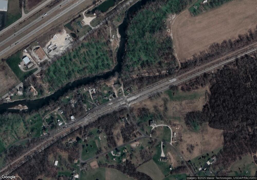
Map
Nearby Homes
- 3183 Lower Valley Pike
- 206 S Tecumseh Rd
- 2925 S Tecumseh Rd
- 128 Ravenwood Dr
- 100 Green Valley Dr
- 303 E Main St
- 4909 Shannon Ave
- 169 E Main St
- 141 N Xenia Dr
- 3434 Killdeer Dr
- 4461 New Carlisle Pike
- 22 W Main St
- 1513 Ridgeway Dr
- 3190 Rebert Pike
- 3319 Wendover St
- 3267 Lower Valley Pike Unit Tract 2
- 1290 Red Oaks Cir
- 3924 Schenley St
- 929 N Tecumseh Rd
- 124 Old Mill Rd
- 5420 Wynn Rd
- 5466 Wynn Rd
- 1661 S Tecumseh Rd
- 0 Snyderville Rd Unit 564537
- 5502 Wynn Rd
- 5520 Mad River Rd
- 1700 Snyderville Rd
- 5522 Wynn Rd
- 5411 Harshman Rd
- 5510 Mad River Rd
- 5500 Lower Valley Pike
- 5542 Wynn Rd
- 5520 Old Lower Valley Park
- 1715 Snyderville Rd
- 1743 S Tecumseh Rd
- 5500 Lower Valley Pike
- 5552 Wynn Rd
- 5541 Lower Valley Pike
- 5543 Lower Valley Pike
- 1791 Snyderville Rd
Your Personal Tour Guide
Ask me questions while you tour the home.