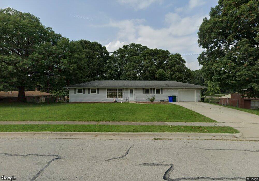
1550 W Pershing Rd Decatur, IL 62526
Greendell NeighborhoodEstimated Value: $156,000 - $216,000
--
Bed
--
Bath
1,728
Sq Ft
$104/Sq Ft
Est. Value
About This Home
This home is located at 1550 W Pershing Rd, Decatur, IL 62526 and is currently estimated at $179,399, approximately $103 per square foot. 1550 W Pershing Rd is a home located in Macon County with nearby schools including Stephen Decatur Middle School, Our Lady of Lourdes School, and Antioch Christian Academy.
Ownership History
Date
Name
Owned For
Owner Type
Purchase Details
Closed on
Aug 23, 2016
Sold by
Pope Douglas A and Pope Julie R
Bought by
Holt Carol and Holt Danny E
Current Estimated Value
Purchase Details
Closed on
Jan 4, 2013
Sold by
Pope Julie Rue
Bought by
Pope Douglas A and Pope Julie R
Purchase Details
Closed on
Feb 7, 2006
Sold by
Batorson George S and Batorson Agnes E
Bought by
Pope Julie Rue
Create a Home Valuation Report for This Property
The Home Valuation Report is an in-depth analysis detailing your home's value as well as a comparison with similar homes in the area
Home Values in the Area
Average Home Value in this Area
Purchase History
| Date | Buyer | Sale Price | Title Company |
|---|---|---|---|
| Holt Carol | $140,000 | Decatur Title Company | |
| Pope Douglas A | -- | None Available | |
| Pope Julie Rue | -- | None Available |
Source: Public Records
Tax History Compared to Growth
Tax History
| Year | Tax Paid | Tax Assessment Tax Assessment Total Assessment is a certain percentage of the fair market value that is determined by local assessors to be the total taxable value of land and additions on the property. | Land | Improvement |
|---|---|---|---|---|
| 2024 | $4,198 | $42,521 | $5,498 | $37,023 |
| 2023 | $3,937 | $39,089 | $5,054 | $34,035 |
| 2022 | $3,745 | $36,253 | $4,687 | $31,566 |
| 2021 | $3,579 | $34,501 | $4,383 | $30,118 |
| 2020 | $3,604 | $33,787 | $4,292 | $29,495 |
| 2019 | $3,604 | $33,787 | $4,292 | $29,495 |
| 2018 | $3,584 | $34,029 | $4,323 | $29,706 |
| 2017 | $3,596 | $34,219 | $4,347 | $29,872 |
| 2016 | $3,631 | $34,301 | $4,357 | $29,944 |
| 2015 | $1,874 | $33,894 | $4,305 | $29,589 |
| 2014 | $540 | $36,195 | $4,597 | $31,598 |
| 2013 | $538 | $33,894 | $4,305 | $29,589 |
Source: Public Records
Map
Nearby Homes
- 1487 W Glenn Dr
- 2127 Riedel Ave
- 3321 N Oakland Ave
- 1607 W Melrose Ct
- 1720 W Ravina Park Rd
- 2281 N Summit Ave
- 2320 N Kenwood Ct
- 1929 W Ravina Park Rd
- 2094 N Dennis Ave
- 1110 Woodridge Ct
- 2124 Home Park Ave
- 1950 Barding Ave
- 3707 N Woodridge Dr
- 1225 W Pineview Ct
- 1680 Home Park Ave
- 821 W Karen Dr
- 878 W Harrison Ave
- 1650 N Dennis Ave
- 777 W Harper Ave
- 2306 Yorkshire Dr
- 1540 W Pershing Rd
- 2995 N Primrose Ln
- 1541 W Pershing Rd
- 1551 W Pershing Rd
- 2985 N Primrose Ln
- 3014 N Norwood Ave
- 2990 N Norwood Ave
- 2986 N Primrose Ln
- 3003 N Norwood Ave
- 3040 N Norwood Ave
- 2966 N Primrose Ln
- 2975 N Primrose Ln
- 3023 N Norwood Ave
- 4397 N Taylor Ave
- 3006 N Taylor Ave
- 3066 N Taylor Ave
- 2965 N Primrose Ln
- 2956 N Norwood Ave
- 3053 N Norwood Ave
- 3030 N Taylor Ave