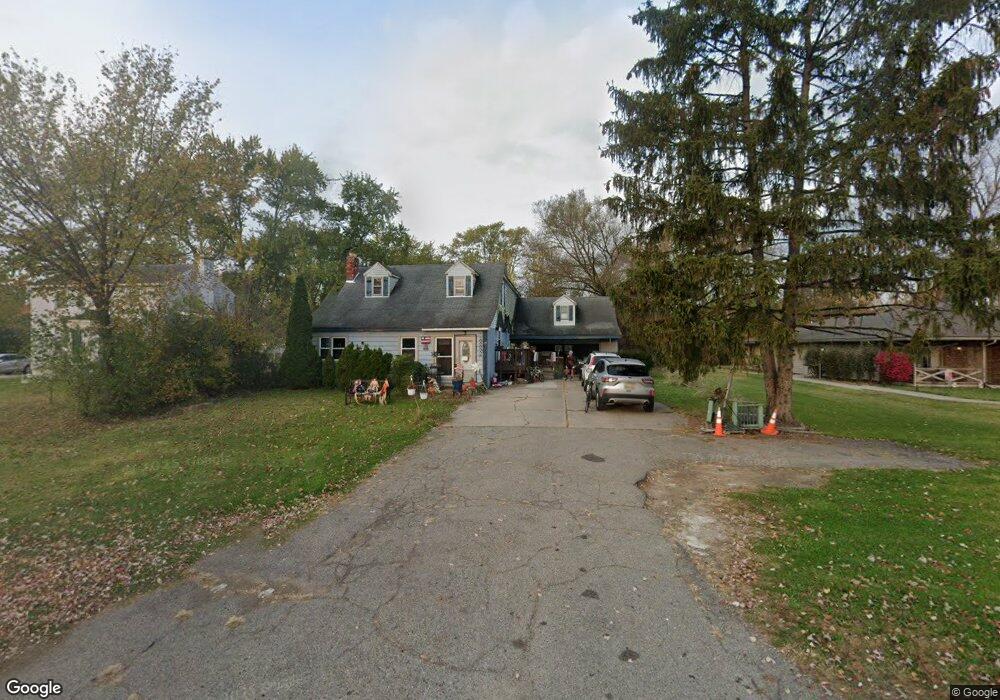
15505 Inkster Rd Livonia, MI 48154
Estimated Value: $296,000 - $367,000
4
Beds
3
Baths
2,940
Sq Ft
$114/Sq Ft
Est. Value
About This Home
This home is located at 15505 Inkster Rd, Livonia, MI 48154 and is currently estimated at $336,227, approximately $114 per square foot. 15505 Inkster Rd is a home located in Wayne County with nearby schools including Riley Upper Elementary School, Buchanan Elementary School, and Holmes Middle School.
Ownership History
Date
Name
Owned For
Owner Type
Purchase Details
Closed on
Feb 4, 2004
Sold by
Polant Louis W and Aliseo Natalie P
Bought by
Aliseo Russell
Current Estimated Value
Purchase Details
Closed on
Dec 21, 2001
Sold by
Ballard Charles F and Ballard Ann M
Bought by
Polant Louis W
Home Financials for this Owner
Home Financials are based on the most recent Mortgage that was taken out on this home.
Original Mortgage
$156,000
Interest Rate
4.37%
Mortgage Type
Purchase Money Mortgage
Create a Home Valuation Report for This Property
The Home Valuation Report is an in-depth analysis detailing your home's value as well as a comparison with similar homes in the area
Home Values in the Area
Average Home Value in this Area
Purchase History
| Date | Buyer | Sale Price | Title Company |
|---|---|---|---|
| Aliseo Russell | -- | Multiple | |
| Polant Louis W | $116,000 | Multiple |
Source: Public Records
Mortgage History
| Date | Status | Borrower | Loan Amount |
|---|---|---|---|
| Previous Owner | Polant Louis W | $156,000 |
Source: Public Records
Tax History Compared to Growth
Tax History
| Year | Tax Paid | Tax Assessment Tax Assessment Total Assessment is a certain percentage of the fair market value that is determined by local assessors to be the total taxable value of land and additions on the property. | Land | Improvement |
|---|---|---|---|---|
| 2025 | $1,445 | $160,900 | $0 | $0 |
| 2024 | $1,445 | $140,400 | $0 | $0 |
| 2023 | $1,379 | $122,800 | $0 | $0 |
| 2022 | $2,421 | $110,600 | $0 | $0 |
| 2021 | $2,352 | $105,200 | $0 | $0 |
| 2019 | $2,783 | $91,900 | $0 | $0 |
| 2018 | $1,166 | $80,200 | $0 | $0 |
| 2017 | $2,064 | $79,500 | $0 | $0 |
| 2016 | $2,145 | $77,700 | $0 | $0 |
| 2015 | $5,193 | $72,060 | $0 | $0 |
| 2012 | -- | $50,320 | $12,000 | $38,320 |
Source: Public Records
Map
Nearby Homes
- 27480 5 Mile Rd
- 15681 Foch St
- 27416 Sunnydale St
- 27510 Five Mile Rd
- 15660 Meadowbrook Rd
- 14920 Taylor Blvd
- 14844 Inkster Rd
- 14907 Taylor Blvd
- 15988 Delaware Ave
- 27674 Western Golf Dr
- 28692 Bayberry Park Dr
- 14328 Brook Dr
- 15433 Norborne
- 14174 San Jose
- 14243 Mason Dr
- 27030 W 6 Mile Rd
- 15389 Centralia
- 27427 Vargo St
- 14068 Mercedes
- 26610 W 6 Mile Rd
- 15557 Inkster Rd
- 15501 Inkster Rd
- 15565 Inkster Rd
- 15506 Green Lane Ave
- 15516 Green Lane Ave
- 15500 Green Lane Ave
- 15455 Inkster Rd
- 15474 Green Lane Ave
- 15575 Inkster Rd
- 15460 Green Lane Ave
- 15540 Green Lane Ave
- 15445 Inkster Rd
- 15446 Green Lane Ave
- 15600 Green Lane Ave
- 15605 Inkster Rd
- 15440 Green Lane Ave
- 15430 Green Lane Ave
- 15608 Green Lane Ave
- 15385 Inkster Rd
- 15615 Inkster Rd