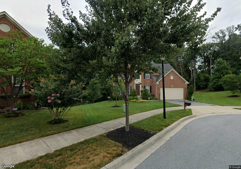
15506 Misty Pine Rd Laurel, MD 20707
West Laurel NeighborhoodEstimated Value: $636,411 - $939,000
Studio
1
Bath
2,755
Sq Ft
$274/Sq Ft
Est. Value
About This Home
This home is located at 15506 Misty Pine Rd, Laurel, MD 20707 and is currently estimated at $754,103, approximately $273 per square foot. 15506 Misty Pine Rd is a home located in Prince George's County with nearby schools including Bond Mill Elementary, Martin Luther King Jr. Middle School, and Laurel High School.
Ownership History
Date
Name
Owned For
Owner Type
Purchase Details
Closed on
May 12, 2010
Sold by
Nvr Inc
Bought by
Kirk Timothy A and Kirk Patrice
Current Estimated Value
Home Financials for this Owner
Home Financials are based on the most recent Mortgage that was taken out on this home.
Original Mortgage
$432,427
Outstanding Balance
$295,053
Interest Rate
5.5%
Mortgage Type
FHA
Estimated Equity
$459,050
Create a Home Valuation Report for This Property
The Home Valuation Report is an in-depth analysis detailing your home's value as well as a comparison with similar homes in the area
Home Values in the Area
Average Home Value in this Area
Purchase History
| Date | Buyer | Sale Price | Title Company |
|---|---|---|---|
| Kirk Timothy A | $472,215 | -- |
Source: Public Records
Mortgage History
| Date | Status | Borrower | Loan Amount |
|---|---|---|---|
| Open | Kirk Timothy A | $432,427 |
Source: Public Records
Tax History
| Year | Tax Paid | Tax Assessment Tax Assessment Total Assessment is a certain percentage of the fair market value that is determined by local assessors to be the total taxable value of land and additions on the property. | Land | Improvement |
|---|---|---|---|---|
| 2025 | $8,111 | $610,300 | $144,300 | $466,000 |
| 2024 | $8,111 | $586,267 | -- | -- |
| 2023 | $7,855 | $562,233 | $0 | $0 |
| 2022 | $7,512 | $538,200 | $104,300 | $433,900 |
| 2021 | $7,233 | $526,100 | $0 | $0 |
| 2020 | $7,135 | $514,000 | $0 | $0 |
| 2019 | $6,994 | $501,900 | $102,100 | $399,800 |
| 2018 | $6,733 | $471,800 | $0 | $0 |
| 2017 | $6,516 | $441,700 | $0 | $0 |
| 2016 | -- | $411,600 | $0 | $0 |
| 2015 | $5,734 | $411,600 | $0 | $0 |
| 2014 | $5,734 | $411,600 | $0 | $0 |
Source: Public Records
Map
Nearby Homes
- 6504 Walker Branch Dr
- 15709 Bond Mill Rd
- 6918 Scotch Dr
- 6502 Old Sandy Spring Rd
- 6915 Scotch Dr
- 15800 Kerr Rd
- 6404 Park Hall Dr
- 7002 Scotch Dr
- 7012 Scotch Dr
- 6109 Parkway Dr
- 16100 Malcolm Dr
- 7600 Lord Snowden Cir
- 7103 Split Rail Ln
- 15708 Dorset Rd Unit 202
- 7208 Cherry Ln
- 15706 Dorset Rd Unit 102
- 6000 Parkway Dr
- 15603 Dorset Rd Unit 101
- 14005 Barkham Ct
- 15601 Dorset Rd Unit 102
- 15507 Misty Pine Rd
- 15504 Misty Pine Rd
- 15505 Misty Pine Rd
- 15502 Misty Pine Rd
- 15503 Misty Pine Rd
- 15602 Bradford Dr
- 6602 Cedar Spring Ct
- 15604 Bradford Dr
- 6707 Sandy View Ct
- 15405 Misty Pine Rd
- 6701 Walker Branch Dr
- 15601 Bradford Dr
- 15606 Bradford Dr
- 6703 Walker Branch Dr
- 6600 Cedar Spring Ct
- 6705 Sandy View Ct
- 15603 Bradford Dr
- 6703 Sandy View Ct
- 15608 Bradford Dr
- 6705 Walker Branch Dr
Your Personal Tour Guide
Ask me questions while you tour the home.