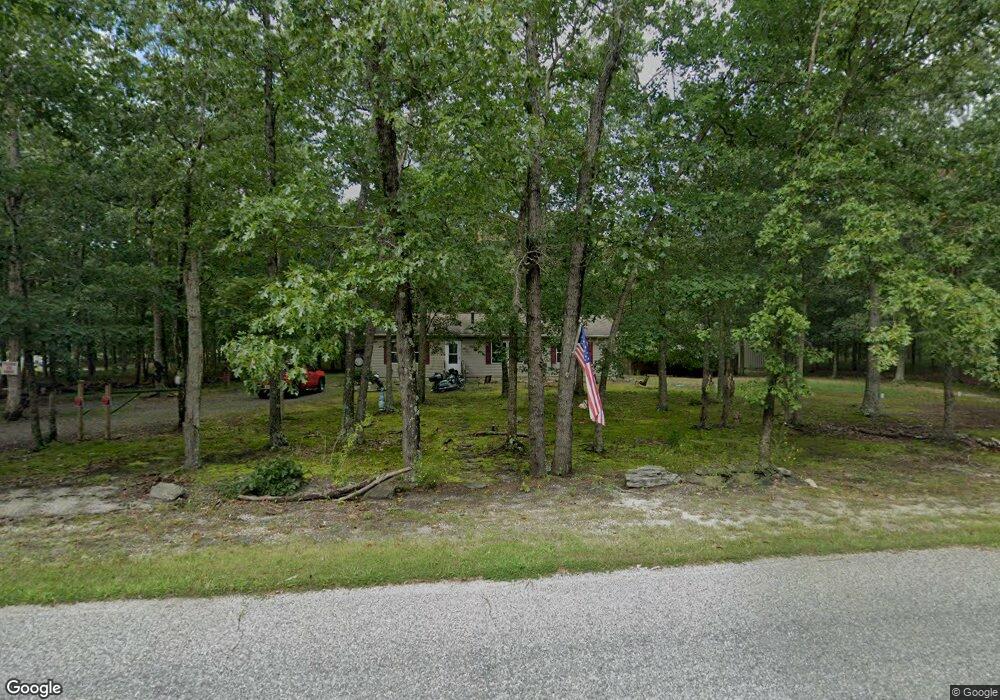
1551 30th St Mays Landing, NJ 08330
Estimated Value: $300,209 - $361,000
--
Bed
--
Bath
1,344
Sq Ft
$244/Sq Ft
Est. Value
About This Home
This home is located at 1551 30th St, Mays Landing, NJ 08330 and is currently estimated at $327,802, approximately $243 per square foot. 1551 30th St is a home with nearby schools including Joseph Shaner School, George L. Hess Educational Complex, and William Davies Middle School.
Ownership History
Date
Name
Owned For
Owner Type
Purchase Details
Closed on
Apr 16, 2007
Sold by
Johnson Robert
Bought by
Jeffrey Wunsch
Current Estimated Value
Purchase Details
Closed on
Sep 11, 1998
Sold by
Moran David L
Bought by
Johnson Robert M
Purchase Details
Closed on
Oct 31, 1996
Sold by
J & M Land Company
Bought by
Moran David
Create a Home Valuation Report for This Property
The Home Valuation Report is an in-depth analysis detailing your home's value as well as a comparison with similar homes in the area
Home Values in the Area
Average Home Value in this Area
Purchase History
| Date | Buyer | Sale Price | Title Company |
|---|---|---|---|
| Jeffrey Wunsch | $225,000 | -- | |
| Johnson Robert M | $18,000 | The Title Company | |
| Moran David | $6,000 | -- |
Source: Public Records
Tax History Compared to Growth
Tax History
| Year | Tax Paid | Tax Assessment Tax Assessment Total Assessment is a certain percentage of the fair market value that is determined by local assessors to be the total taxable value of land and additions on the property. | Land | Improvement |
|---|---|---|---|---|
| 2025 | $5,757 | $167,800 | $29,500 | $138,300 |
| 2024 | $5,757 | $167,800 | $29,500 | $138,300 |
| 2023 | $5,413 | $167,800 | $29,500 | $138,300 |
| 2022 | $5,413 | $167,800 | $29,500 | $138,300 |
| 2021 | $5,401 | $167,800 | $29,500 | $138,300 |
| 2020 | $5,401 | $167,800 | $29,500 | $138,300 |
| 2019 | $5,415 | $167,800 | $29,500 | $138,300 |
| 2018 | $5,225 | $167,800 | $29,500 | $138,300 |
| 2017 | $5,143 | $167,800 | $29,500 | $138,300 |
| 2016 | $4,999 | $167,800 | $29,500 | $138,300 |
| 2015 | $4,829 | $167,800 | $29,500 | $138,300 |
| 2014 | $4,763 | $181,300 | $35,600 | $145,700 |
Source: Public Records
Map
Nearby Homes
- 1516 Thirty Third St
- 1362 Annapolis Ave
- 1368 Sitka Ave
- 6917 Market St
- 0 0 Strand Ave
- 0 St Petersburg Ave Unit NJAC2011842
- 0 St Petersburg Ave Unit NJAC2011840
- 6422 Strand Ave
- 0 Railroad Blvd
- 6414 Strand Ave
- 0 San Francisco Ave
- 1 Belmont Ave
- 6839 Harding Hwy
- 0 Division Ave
- 0 South Ave
- First 1st Ave
- 6361 Beacon Ave
- 0 Merton Ave Unit NJAC2020566
- 7322 Black Horse Pike
- 6752 Harding Hwy
- 0 Penrose Ave
- 1550 30th St
- 1523 Mizpah Rd
- 1516 Penrose Ave
- 6985 Cole Ave
- 1516 33rd St
- 6953 Cole Ave
- 6960 Cole Ave
- 6954 Cole Ave
- 6984 3rd Ave
- 1472 Mizpah Rd
- 7017 Sheppard Ave
- 6977 3rd Ave
- 7025 Sheppard Ave
- 7018 Sheppard St
- 7008 Sheppard Ave
- 7020 Sheppard Ave
- 1465 25th St
- 7033 Sheppard Ave
- 1472 25th St