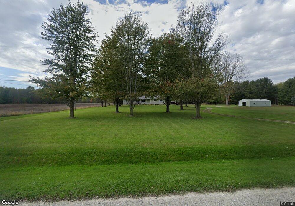
1551 Burns Rd Kimball, MI 48074
Estimated Value: $243,000 - $314,000
3
Beds
2
Baths
952
Sq Ft
$285/Sq Ft
Est. Value
About This Home
This home is located at 1551 Burns Rd, Kimball, MI 48074 and is currently estimated at $271,562, approximately $285 per square foot. 1551 Burns Rd is a home located in St. Clair County with nearby schools including Kimball Elementary School, Central Middle School, and Port Huron High School.
Ownership History
Date
Name
Owned For
Owner Type
Purchase Details
Closed on
Sep 8, 2021
Sold by
Hunger Patricia Ann and Hunger Patricia Jean
Bought by
Hunger James F and Hunger Patricia Ana
Current Estimated Value
Purchase Details
Closed on
Aug 18, 2021
Sold by
Hunger James F and Hunger Patricia Ann
Bought by
Hunger James F and Rlt Patricia
Purchase Details
Closed on
Dec 30, 2009
Sold by
Hunger Patricia
Bought by
Hunger Patricia Jean and Patricia Jean Hunger Living Trust
Create a Home Valuation Report for This Property
The Home Valuation Report is an in-depth analysis detailing your home's value as well as a comparison with similar homes in the area
Home Values in the Area
Average Home Value in this Area
Purchase History
| Date | Buyer | Sale Price | Title Company |
|---|---|---|---|
| Hunger James F | -- | None Available | |
| Hunger James F | -- | None Available | |
| Hunger James F | -- | None Available | |
| Hunger James F | -- | None Listed On Document | |
| Hunger Patricia Jean | -- | None Available | |
| Hunger James E | -- | None Available | |
| Hunger James F | -- | None Available |
Source: Public Records
Tax History
| Year | Tax Paid | Tax Assessment Tax Assessment Total Assessment is a certain percentage of the fair market value that is determined by local assessors to be the total taxable value of land and additions on the property. | Land | Improvement |
|---|---|---|---|---|
| 2025 | $1,473 | $114,400 | $0 | $0 |
| 2024 | $1,429 | $109,800 | $0 | $0 |
| 2023 | $1,309 | $101,500 | $0 | $0 |
| 2022 | $2,254 | $90,600 | $0 | $0 |
| 2020 | $2,055 | $102,900 | $102,900 | $0 |
| 2019 | $2,017 | $98,700 | $0 | $0 |
| 2018 | $1,969 | $80,500 | $0 | $0 |
| 2017 | $1,929 | $77,100 | $0 | $0 |
| 2016 | $1,077 | $77,100 | $0 | $0 |
| 2015 | -- | $77,000 | $77,000 | $0 |
| 2014 | -- | $90,000 | $90,000 | $0 |
| 2013 | -- | $80,300 | $0 | $0 |
Source: Public Records
Map
Nearby Homes
- 1900 Burns Rd
- 0 Richman Rd Unit 50197304
- 0 Sparling Rd Unit 2210034403
- 6776 Ravenswood Rd
- 6417 Dove Rd
- 0 Sparling Unit 20230091288
- 8237 Lambs Rd
- 7330 Smiths Creek Rd
- 6376 Ravenswood Rd
- 00 Griswold Rd
- I-69 vac Taylor Dr
- 2007 Edward Ln E
- 2047 Edward Ln E
- 6550 Lapeer Rd
- 0000 Conrad Dr
- 00 Smiths Creek Rd Smiths Creek Rd
- 1948 Meadowlark Ln
- 1906 Morningstar Ave
- 3309 Rabidue Rd
- 8840 Marquette Rd
Your Personal Tour Guide
Ask me questions while you tour the home.