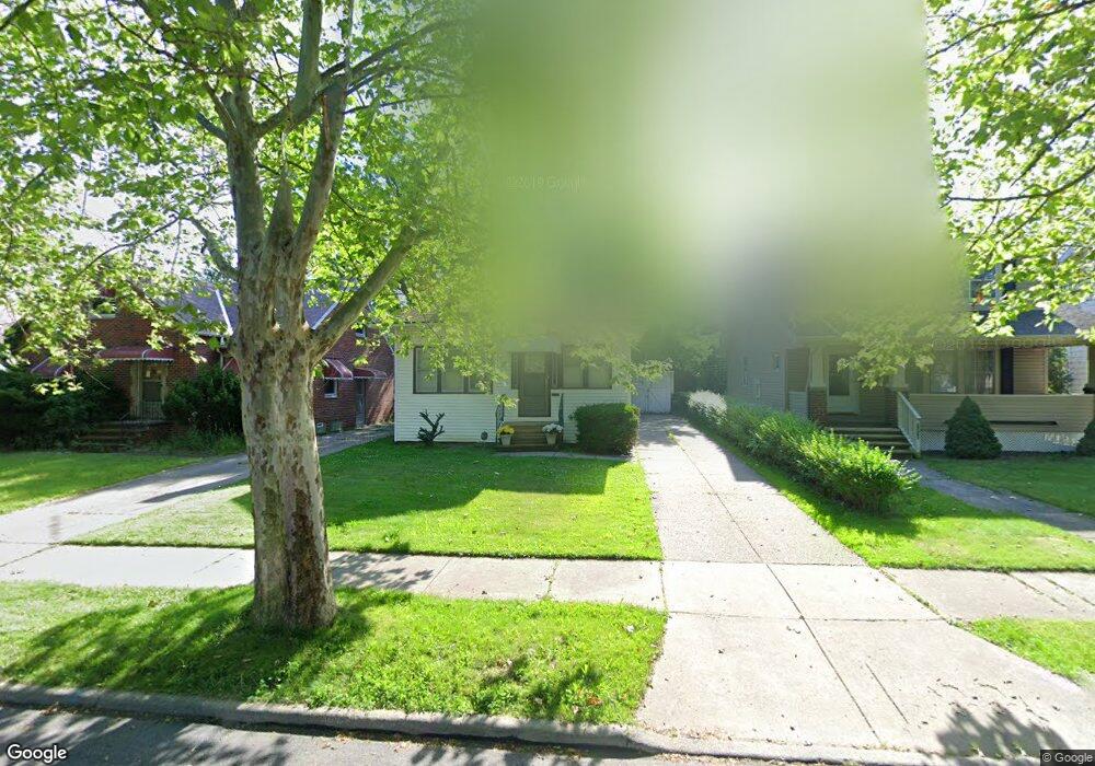
1551 E 219th St Euclid, OH 44117
Estimated Value: $98,341 - $124,000
4
Beds
1
Bath
1,143
Sq Ft
$100/Sq Ft
Est. Value
About This Home
This home is located at 1551 E 219th St, Euclid, OH 44117 and is currently estimated at $114,085, approximately $99 per square foot. 1551 E 219th St is a home located in Cuyahoga County with nearby schools including Bluestone Elementary School, Euclid Middle School, and Euclid High School.
Ownership History
Date
Name
Owned For
Owner Type
Purchase Details
Closed on
Dec 16, 1999
Sold by
Franey Kathleen L
Bought by
Wilson Bernadette M
Current Estimated Value
Home Financials for this Owner
Home Financials are based on the most recent Mortgage that was taken out on this home.
Original Mortgage
$72,853
Outstanding Balance
$22,824
Interest Rate
7.87%
Mortgage Type
FHA
Estimated Equity
$91,261
Purchase Details
Closed on
May 10, 1989
Sold by
Franey William R
Bought by
Franey Kathleen L
Purchase Details
Closed on
Apr 26, 1979
Sold by
Wyrwin Stells
Bought by
Franey William R
Purchase Details
Closed on
Mar 1, 1976
Sold by
Wyrwin Stanley and Wyrwin Stella
Bought by
Wyrwin Stells
Purchase Details
Closed on
Jan 1, 1975
Bought by
Wyrwin Stanley and Wyrwin Stella
Create a Home Valuation Report for This Property
The Home Valuation Report is an in-depth analysis detailing your home's value as well as a comparison with similar homes in the area
Home Values in the Area
Average Home Value in this Area
Purchase History
| Date | Buyer | Sale Price | Title Company |
|---|---|---|---|
| Wilson Bernadette M | $75,000 | Real Estate Title | |
| Franey Kathleen L | -- | -- | |
| Franey William R | $25,400 | -- | |
| Wyrwin Stells | -- | -- | |
| Wyrwin Stanley | -- | -- |
Source: Public Records
Mortgage History
| Date | Status | Borrower | Loan Amount |
|---|---|---|---|
| Open | Wilson Bernadette M | $72,853 |
Source: Public Records
Tax History
| Year | Tax Paid | Tax Assessment Tax Assessment Total Assessment is a certain percentage of the fair market value that is determined by local assessors to be the total taxable value of land and additions on the property. | Land | Improvement |
|---|---|---|---|---|
| 2024 | $2,046 | $28,980 | $5,215 | $23,765 |
| 2023 | $1,812 | $20,340 | $4,030 | $16,310 |
| 2022 | $1,772 | $20,340 | $4,030 | $16,310 |
| 2021 | $1,964 | $20,340 | $4,030 | $16,310 |
| 2020 | $1,658 | $15,400 | $3,050 | $12,360 |
| 2019 | $1,486 | $44,000 | $8,700 | $35,300 |
| 2018 | $1,492 | $15,400 | $3,050 | $12,360 |
| 2017 | $1,602 | $13,790 | $2,520 | $11,270 |
| 2016 | $1,605 | $13,790 | $2,520 | $11,270 |
| 2015 | $1,707 | $13,790 | $2,520 | $11,270 |
| 2014 | $1,707 | $16,250 | $2,980 | $13,270 |
Source: Public Records
Map
Nearby Homes
- 1554 E 221st St
- 21950 Euclid Ave
- 1545 E 214th St
- 1754 E 236th St
- 1765 E 238th St
- 1524 E 204th St
- 1775 Sherwood Blvd
- 1734 Glenridge Rd
- 24105 Chardon Rd
- 902 E 207th St
- 19210 Firwood Rd
- 22601 Harms Rd
- 22791 Harms Rd
- 1721 Grand Blvd
- 931 E 214th St
- 824 E 207th St
- 1290 E 188th St
- 25031 Glenbrook Blvd
- 19316 Shawnee Ave
- 21840 Miller Ave
- 1559 E 219th St
- 1545 E 219th St
- 1565 E 219th St
- 1541 E 219th St
- 1560 E 221st St
- 1574 E 221st St
- 1571 E 219th St
- 1550 E 221st St
- 1580 E 221st St
- 1566 E 219th St
- 1562 E 219th St
- 1570 E 219th St
- 1550 E 219th St
- 1525 E 219th St
- 1574 E 219th St
- 1540 E 221st St
- 1521 E 219th St
- 22021 Euclid Ave
- 22091 Euclid Ave
- 1530 E 221st St
Your Personal Tour Guide
Ask me questions while you tour the home.