15511 Davis Dr Addison, MI 49220
Estimated Value: $346,000 - $370,000
--
Bed
2
Baths
2,108
Sq Ft
$170/Sq Ft
Est. Value
About This Home
This home is located at 15511 Davis Dr, Addison, MI 49220 and is currently estimated at $358,000, approximately $169 per square foot. 15511 Davis Dr is a home located in Lenawee County with nearby schools including Addison Elementary School, Addison Middle School, and Addison High School.
Ownership History
Date
Name
Owned For
Owner Type
Purchase Details
Closed on
Jul 6, 2012
Sold by
Hubbard Todd B
Bought by
Hubbard Todd B and Hubbard Judy L
Current Estimated Value
Home Financials for this Owner
Home Financials are based on the most recent Mortgage that was taken out on this home.
Original Mortgage
$74,594
Outstanding Balance
$51,976
Interest Rate
3.87%
Mortgage Type
FHA
Estimated Equity
$306,024
Create a Home Valuation Report for This Property
The Home Valuation Report is an in-depth analysis detailing your home's value as well as a comparison with similar homes in the area
Home Values in the Area
Average Home Value in this Area
Purchase History
| Date | Buyer | Sale Price | Title Company |
|---|---|---|---|
| Hubbard Todd B | -- | None Available |
Source: Public Records
Mortgage History
| Date | Status | Borrower | Loan Amount |
|---|---|---|---|
| Open | Hubbard Todd B | $74,594 |
Source: Public Records
Tax History Compared to Growth
Tax History
| Year | Tax Paid | Tax Assessment Tax Assessment Total Assessment is a certain percentage of the fair market value that is determined by local assessors to be the total taxable value of land and additions on the property. | Land | Improvement |
|---|---|---|---|---|
| 2025 | $1,940 | $186,600 | $0 | $0 |
| 2024 | $898 | $175,400 | $0 | $0 |
| 2023 | -- | $154,700 | $0 | $0 |
| 2022 | $1,779 | $138,000 | $0 | $0 |
| 2021 | $1,734 | $133,700 | $0 | $0 |
| 2020 | $1,692 | $109,600 | $0 | $0 |
| 2019 | $190,837 | $109,600 | $0 | $0 |
| 2018 | $1,669 | $111,183 | $0 | $0 |
| 2017 | $1,599 | $112,912 | $0 | $0 |
| 2016 | $1,595 | $111,998 | $0 | $0 |
| 2014 | -- | $107,325 | $0 | $0 |
Source: Public Records
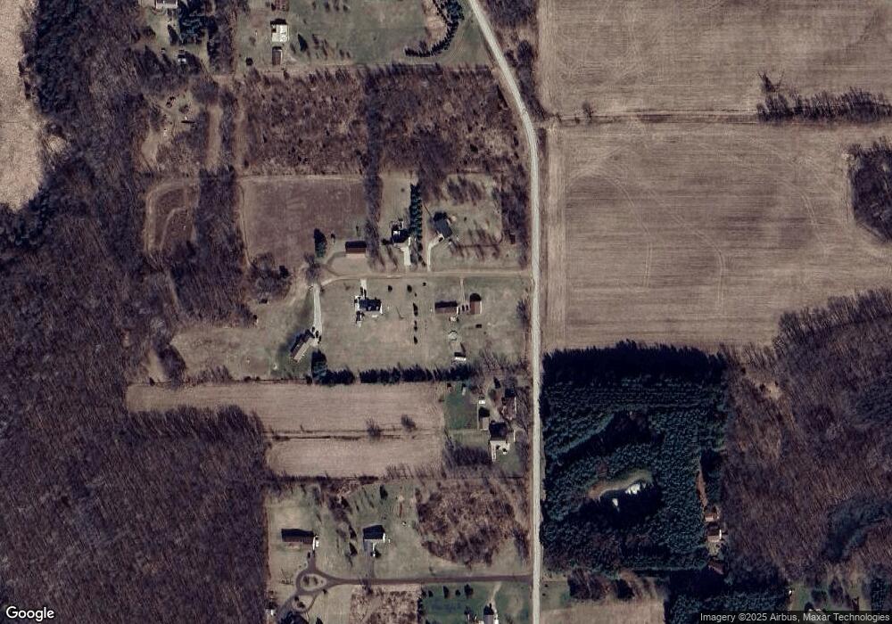
Map
Nearby Homes
- 10911 Devils Lake Hwy
- 8000 Parkhurst Hwy Unit Carroll Dr ((1175)
- 6360 Winter Rd
- 8484 N Rollin Hwy
- 15858 Lelah Ln
- 6820 Devils Lake Hwy
- 6103 Highland Ave
- 6000 Devils Lake Hwy
- 5935 Tower Dr
- 14800 Canary Ct
- Lot 62 Pamawa Dr
- 61 Pamawa Dr
- 900 Pamawa Dr
- 7841 Devils Lake Hwy
- Unit 3 Hollyhock Dr
- Unit 2 Hollyhock Dr
- 4547 Round Lake Hwy
- 15281 U S 12
- 17475 U S 223
- 4276 Echo Cove
- 15553 Davis Dr
- 15550 Davis Dr
- 15510 Davis Dr
- 15790 Baldwin Ln
- 15785 Baldwin Ln
- 9160 Devils Lake Hwy
- 0 Davis Dr
- 0 Davis Dr Unit 21045283
- 0 Davis Dr Unit 91892
- 15765 Sanford Rd
- 9450 Devils Lake Hwy
- 9450 Devils Lake Hwy
- 9488 Devils Lake Hwy
- 9600 Devils Lake Hwy
- 15620 Baldwin Ln
- 15565 Baldwin Ln
- 15500 Sanford Rd
- 9000 Devils Lake Hwy Unit BLK
- 9000 Devils Lake Hwy Unit BLK
- 9000 Devils Lake Hwy Unit BLK