Estimated Value: $335,000 - $604,000
2
Beds
1
Bath
1,536
Sq Ft
$274/Sq Ft
Est. Value
About This Home
This home is located at 15518 Rhoads Rd, Logan, OH 43138 and is currently estimated at $420,984, approximately $274 per square foot. 15518 Rhoads Rd is a home located in Hocking County with nearby schools including Hocking Hills Elementary School.
Ownership History
Date
Name
Owned For
Owner Type
Purchase Details
Closed on
Apr 13, 2018
Sold by
Keck Clinton James and Keck Aveline Anne
Bought by
Keck Colt R
Current Estimated Value
Home Financials for this Owner
Home Financials are based on the most recent Mortgage that was taken out on this home.
Original Mortgage
$145,454
Outstanding Balance
$123,976
Interest Rate
4.43%
Mortgage Type
New Conventional
Estimated Equity
$297,008
Create a Home Valuation Report for This Property
The Home Valuation Report is an in-depth analysis detailing your home's value as well as a comparison with similar homes in the area
Purchase History
| Date | Buyer | Sale Price | Title Company |
|---|---|---|---|
| Keck Colt R | $144,000 | Axxis Title Agency Ltd |
Source: Public Records
Mortgage History
| Date | Status | Borrower | Loan Amount |
|---|---|---|---|
| Open | Keck Colt R | $145,454 |
Source: Public Records
Tax History
| Year | Tax Paid | Tax Assessment Tax Assessment Total Assessment is a certain percentage of the fair market value that is determined by local assessors to be the total taxable value of land and additions on the property. | Land | Improvement |
|---|---|---|---|---|
| 2024 | $3,884 | $71,980 | $13,280 | $58,700 |
| 2023 | $2,703 | $71,980 | $13,280 | $58,700 |
| 2022 | $2,707 | $71,980 | $13,280 | $58,700 |
| 2021 | $1,956 | $48,810 | $9,480 | $39,330 |
| 2020 | $1,947 | $48,810 | $9,480 | $39,330 |
| 2019 | $1,948 | $48,810 | $9,480 | $39,330 |
| 2018 | $1,844 | $47,270 | $7,940 | $39,330 |
| 2017 | $1,809 | $47,270 | $7,940 | $39,330 |
| 2016 | $1,796 | $47,270 | $7,940 | $39,330 |
| 2015 | $1,507 | $38,250 | $5,770 | $32,480 |
| 2014 | $1,507 | $38,250 | $5,770 | $32,480 |
| 2013 | $1,513 | $38,250 | $5,770 | $32,480 |
Source: Public Records
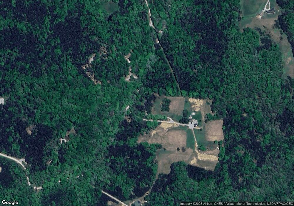
Map
Nearby Homes
- 29593 Big Pine Rd
- 28930 Big Pine Rd
- 28845 Big Pine Rd
- 28843 Big Pine Rd
- 28745 Big Pine Rd
- 0 Hawthorne Way Unit 225040022
- 0 Hawthorne Way Unit Lot 8
- 16236 Collison Rd
- 14560 Pleasant Valley Rd
- 0 Pleasant Valley Rd Unit 225037822
- 0 Unger Rd Unit Lot H 225036416
- 14509 State Route 664 S
- 14462 Ohio 664
- 29941 Blosser Rd
- 14121 State Route 664 S
- 17260 Krinn Unger Keck Rd
- 14180 Ohio 664
- 13500 Pleasant Valley Rd
- 31044 Mays Rd
- 31108 Mays Rd
- 15520 Rhoads Rd
- 15640 Rhoads Rd
- 28760 Cook Rd
- 15365 Rhoads Rd
- 15439 Rhoads Rd
- 28644 Cook Rd
- 15179 Rhoads Rd
- 15108 Rhoads Rd
- 28590 Cook Rd
- 28561 Cook Rd
- 15100 Rhoads Rd
- 15063 Rhoads Rd
- 15055 Rhoads Rd
- 29258 Big Pine Rd
- 15017 Rhoads Rd
- 29254 Big Pine Rd
- 14983 Rhoads Rd
- 29310 Big Pine Rd
- 29350 Big Pine Rd
- 28491 Starr Route Rd
Your Personal Tour Guide
Ask me questions while you tour the home.