Estimated Value: $198,000 - $263,000
About This Home
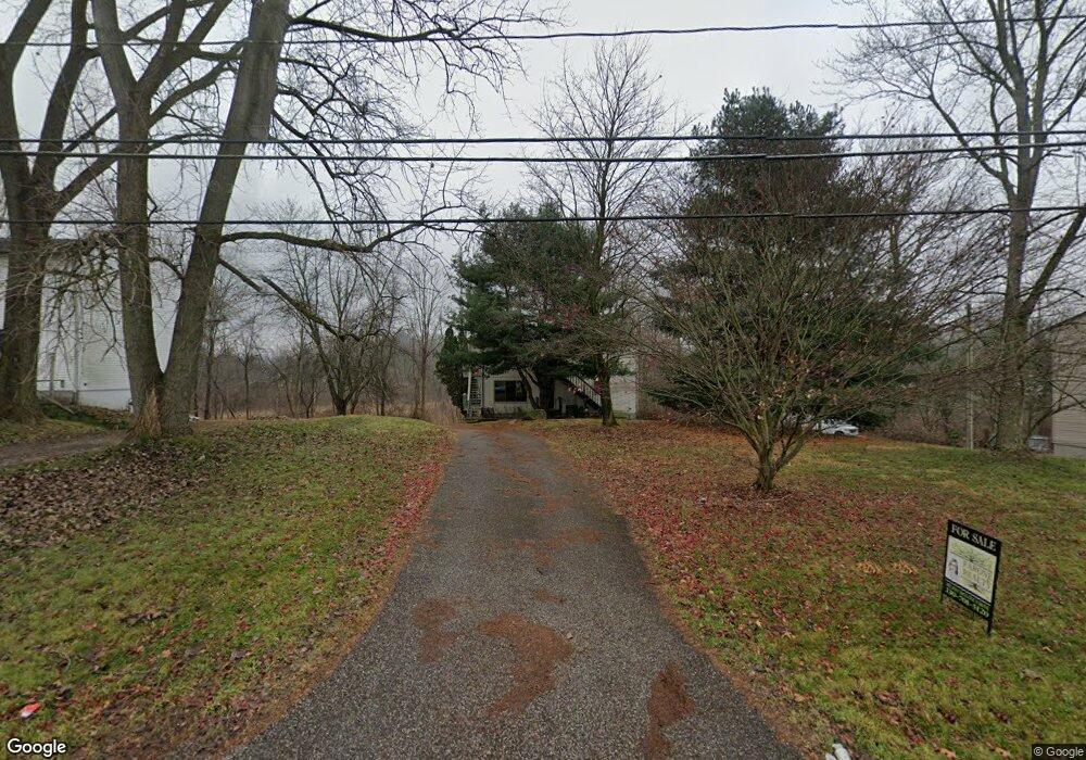
This home is located at 1552 Mac Dr Unit 1556, Stow, OH 44224 and is currently estimated at $239,287, approximately $262 per square foot. 1552 Mac Dr Unit 1556 is a home located in Summit County with nearby schools including Stow-Munroe Falls High School, Primrose School of Hudson, and Holy Family Elementary School.
Ownership History
We collect this data history from publicly available records. To have your information removed, we recommend requesting removal directly through your county’s website.
Purchase Details
Purchase Details
Purchase Details
Home Financials for this Owner
Home Financials are based on the most recent Mortgage that was taken out on this home.Purchase Details
Home Financials for this Owner
Home Financials are based on the most recent Mortgage that was taken out on this home.Purchase Details
Home Financials for this Owner
Home Financials are based on the most recent Mortgage that was taken out on this home.Purchase Details
Home Financials for this Owner
Home Financials are based on the most recent Mortgage that was taken out on this home.Purchase Details
Home Values in the Area
Average Home Value in this Area
Purchase History
We collect this data history from publicly available records. To have your information removed, we recommend requesting removal directly through your county’s website.
| Date | Buyer | Sale Price | Title Company |
|---|---|---|---|
| $175,000 | None Listed On Document | ||
| $175,000 | -- | ||
| $135,000 | None Available | ||
| $110,000 | Attorney | ||
| $130,000 | Falls Title Agency Inc | ||
| $119,000 | Midland Commerce Group | ||
| $117,000 | -- |
Mortgage History
We collect this data history from publicly available records. To have your information removed, we recommend requesting removal directly through your county’s website.
| Date | Status | Borrower | Loan Amount |
|---|---|---|---|
| Previous Owner | $94,500 | ||
| Previous Owner | $88,000 | ||
| Previous Owner | $119,457 | ||
| Previous Owner | $107,100 |
Tax History
We collect this data history from publicly available records. To have your information removed, we recommend requesting removal directly through your county’s website.
| Year | Tax Paid | Tax Assessment Tax Assessment Total Assessment is a certain percentage of the fair market value that is determined by local assessors to be the total taxable value of land and additions on the property. | Land | Improvement |
|---|---|---|---|---|
| 2026 | $4,777 | $59,704 | $11,218 | $48,486 |
| 2025 | $3,481 | $59,704 | $11,218 | $48,486 |
| 2024 | $3,481 | $59,704 | $11,218 | $48,486 |
| 2023 | $3,481 | $59,704 | $11,218 | $48,486 |
| 2022 | $3,562 | $48,906 | $9,118 | $39,788 |
| 2021 | $3,127 | $48,906 | $9,118 | $39,788 |
| 2020 | $2,956 | $48,910 | $9,120 | $39,790 |
| 2019 | $2,378 | $37,880 | $10,930 | $26,950 |
| 2018 | $2,341 | $37,880 | $10,930 | $26,950 |
| 2017 | $2,300 | $37,880 | $10,930 | $26,950 |
| 2016 | $2,351 | $36,790 | $10,930 | $25,860 |
| 2015 | $2,300 | $36,790 | $10,930 | $25,860 |
| 2014 | $2,302 | $36,790 | $10,930 | $25,860 |
| 2013 | $2,290 | $36,830 | $10,930 | $25,900 |
Map
- 1480 Meadowbrook Blvd
- 4760 Sunnyside Dr
- 4748 Sunnyside Dr
- 1259 Meadowbrook Blvd
- 4994 Comanche Trail
- 1979 Sandy Hook
- 1946 Leisure Ln
- 1528 Spruce Hill Dr
- 5005 Bar Harbor Ln Unit 5005
- 5111 Rockport Cove
- 4457 Forest Lake Ct
- 4436 Forest Lake Ct
- 1969 Willowdale Dr
- 1671 Sapphire Dr
- 1826 Arndale Rd
- V/L Housley Rd
- 4281 Meadowlark Trail
- 2077 King Dr
- 2412 Wrens Dr S
- 2450 Wrens Dr S
- 1552 1552-1556 Mac
- 1556 Mac Dr
- 1562 Mac Dr Unit 1566
- 1562 Mac Dr Unit 2
- 1562 1562-1566 Mac
- 1552 1556 Mac Dr
- 1552 1556 Stow Dr
- 1566 Mac Dr
- 1542 Mac Dr Unit 1546
- 1578 Mac Dr
- 1553 Meadowbrook Blvd
- 4824 Darrow Rd
- 4870 Darrow Rd
- 4834 Darrow Rd
- 1547 Meadowbrook Blvd
- 1537 Meadowbrook Blvd
- 1563 Meadowbrook Blvd
- 1527 Meadowbrook Blvd
- 1527 Meadowbrook Blvd
- 1493 Mac Dr
Ask me questions while you tour the home.