1552 Mallard Pond Dr Unit 4 Howell, MI 48855
Estimated Value: $309,000 - $323,600
2
Beds
2
Baths
1,454
Sq Ft
$218/Sq Ft
Est. Value
About This Home
This home is located at 1552 Mallard Pond Dr Unit 4, Howell, MI 48855 and is currently estimated at $316,900, approximately $217 per square foot. 1552 Mallard Pond Dr Unit 4 is a home located in Livingston County with nearby schools including Ruahmah J. Hutchings Elementary, Parker Middle School, and Howell High School.
Ownership History
Date
Name
Owned For
Owner Type
Purchase Details
Closed on
Nov 29, 2011
Sold by
Ore Creek Development Corporation
Bought by
Tessler Andrew E and Tessler Katherine C
Current Estimated Value
Purchase Details
Closed on
Mar 23, 2011
Sold by
Weber William J
Bought by
Ore Creek Development
Purchase Details
Closed on
Oct 27, 2004
Sold by
Garrett Robert and Garrett Patricia M
Bought by
Weber William J
Purchase Details
Closed on
Aug 6, 2004
Sold by
Wexford Builders Inc
Bought by
Garrett Robert and Garrett Patricia M
Home Financials for this Owner
Home Financials are based on the most recent Mortgage that was taken out on this home.
Original Mortgage
$155,520
Interest Rate
6.25%
Mortgage Type
Purchase Money Mortgage
Create a Home Valuation Report for This Property
The Home Valuation Report is an in-depth analysis detailing your home's value as well as a comparison with similar homes in the area
Home Values in the Area
Average Home Value in this Area
Purchase History
| Date | Buyer | Sale Price | Title Company |
|---|---|---|---|
| Tessler Andrew E | $109,900 | -- | |
| Ore Creek Development | $55,708 | -- | |
| Weber William J | $215,000 | -- | |
| Garrett Robert | -- | -- |
Source: Public Records
Mortgage History
| Date | Status | Borrower | Loan Amount |
|---|---|---|---|
| Previous Owner | Garrett Robert | $155,520 |
Source: Public Records
Tax History Compared to Growth
Tax History
| Year | Tax Paid | Tax Assessment Tax Assessment Total Assessment is a certain percentage of the fair market value that is determined by local assessors to be the total taxable value of land and additions on the property. | Land | Improvement |
|---|---|---|---|---|
| 2025 | $1,636 | $153,500 | $0 | $0 |
| 2024 | $1,589 | $143,900 | $0 | $0 |
| 2023 | $1,518 | $135,300 | $0 | $0 |
| 2022 | $698 | $111,100 | $0 | $0 |
| 2021 | $2,103 | $115,600 | $0 | $0 |
| 2020 | $2,127 | $111,100 | $0 | $0 |
| 2019 | $2,097 | $99,100 | $0 | $0 |
| 2018 | $2,071 | $94,700 | $0 | $0 |
| 2017 | $2,044 | $94,200 | $0 | $0 |
| 2016 | $2,033 | $91,000 | $0 | $0 |
| 2014 | $3,770 | $82,500 | $0 | $0 |
| 2012 | $3,770 | $88,600 | $0 | $0 |
Source: Public Records
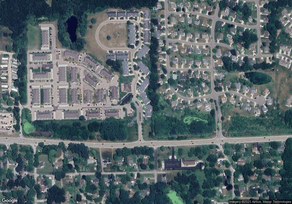
Map
Nearby Homes
- 2511 Kerria Dr Unit 42
- 1570 Princewood Blvd
- 1400 Oakcrest Rd
- 1633 Frech Ln
- VACANT LOT Thompson Shore Dr
- 3040 Bogues View Dr
- 304 Victoria Park Dr Unit 45
- 2653 Ravine Side N
- 1773 Welland St
- 475 Cannonade Loop
- 559 Cannonade Loop
- 809 N Michigan Ave
- 571 Cannonade Loop
- 523 Cannonade Loop
- 583 Cannonade Loop
- The Austin Plan at Broadmoor
- The Charlotte Plan at Broadmoor
- The Harrison Plan at Broadmoor
- The Bloomington Plan at Broadmoor
- The Columbia Plan at Broadmoor
- 1558 Mallard Pond Dr
- 1558 Mallard Pond Dr Unit 5
- 1564 Mallard Pond Dr
- 1546 Mallard Pond Dr Unit Bldg-Unit
- 1540 Mallard Pond Dr Unit 2
- 1534 Mallard Pond Dr Unit 1
- 1578 Mallard Pond Dr
- 1578 Mallard Pond Dr Unit 8
- 1570 Mallard Pond Dr
- 1570 Mallard Pond Dr Unit 7
- 2327 Hickory Circle Dr
- 1584 Mallard Pond Dr Unit 9
- 2321 Hickory Circle Dr Unit 19
- 1590 Mallard Pond Dr
- 2333 Hickory Circle Dr
- 2315 Hickory Circle Dr
- 1596 Mallard Pond Dr Unit 11
- 2339 Hickory Circle Dr Unit 22
- 1602 Mallard Pond Dr Unit 12
- 1608 Mallard Pond Dr Unit 13