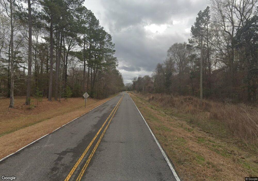
15520 Alphonsus Forbes Rd Pride, LA 70770
Brownsfield/Central NeighborhoodEstimated Value: $489,000 - $665,177
--
Bed
--
Bath
2,720
Sq Ft
$210/Sq Ft
Est. Value
About This Home
This home is located at 15520 Alphonsus Forbes Rd, Pride, LA 70770 and is currently estimated at $571,044, approximately $209 per square foot. 15520 Alphonsus Forbes Rd is a home with nearby schools including Northeast Elementary School and Northeast High School.
Ownership History
Date
Name
Owned For
Owner Type
Purchase Details
Closed on
Jul 31, 2023
Sold by
Rufini William R and Rufini Amanda
Bought by
Carter Benjamin and Carter Karli
Current Estimated Value
Home Financials for this Owner
Home Financials are based on the most recent Mortgage that was taken out on this home.
Original Mortgage
$468,000
Outstanding Balance
$457,096
Interest Rate
6.69%
Mortgage Type
New Conventional
Estimated Equity
$113,948
Create a Home Valuation Report for This Property
The Home Valuation Report is an in-depth analysis detailing your home's value as well as a comparison with similar homes in the area
Home Values in the Area
Average Home Value in this Area
Purchase History
| Date | Buyer | Sale Price | Title Company |
|---|---|---|---|
| Carter Benjamin | $585,000 | None Listed On Document |
Source: Public Records
Mortgage History
| Date | Status | Borrower | Loan Amount |
|---|---|---|---|
| Open | Carter Benjamin | $468,000 |
Source: Public Records
Tax History Compared to Growth
Tax History
| Year | Tax Paid | Tax Assessment Tax Assessment Total Assessment is a certain percentage of the fair market value that is determined by local assessors to be the total taxable value of land and additions on the property. | Land | Improvement |
|---|---|---|---|---|
| 2024 | $5,658 | $55,580 | $8,360 | $47,220 |
| 2023 | $5,658 | $33,770 | $8,360 | $25,410 |
| 2022 | $4,124 | $33,770 | $8,360 | $25,410 |
| 2021 | $4,050 | $33,770 | $8,360 | $25,410 |
| 2020 | $4,024 | $33,770 | $8,360 | $25,410 |
| 2019 | $3,796 | $30,700 | $7,600 | $23,100 |
| 2018 | $3,750 | $30,700 | $7,600 | $23,100 |
| 2017 | $3,290 | $30,700 | $7,600 | $23,100 |
| 2016 | $2,425 | $30,700 | $7,600 | $23,100 |
| 2015 | $2,422 | $30,700 | $7,600 | $23,100 |
| 2014 | $2,412 | $30,700 | $7,600 | $23,100 |
| 2013 | -- | $7,600 | $7,600 | $0 |
Source: Public Records
Map
Nearby Homes
- 16275 Alphonse Forbes Rd
- 0 Greenwell Springs Rd Unit BR2025009447
- TBD Riley Rd
- 14854 Castle Dr
- 16931 Lavell Rd
- 14989 Peairs Rd
- 26799-26355 Greenwell Springs Rd
- 15115 Peairs Rd
- A2A3 Greenwell Springs Rd
- 16010 Peairs Rd
- LOT C-4 Chaney Rd
- 16367 Greenwell Spring Point Hudson Rd
- 16033 Greenwell Spring Point Hudson Rd
- 29549 Greenwell Springs Rd
- 16033 Wiggins Dr
- 16027 Greenwell Spring Point Hudson Rd
- 16527 Pernecia Ave
- 25191 Greenwell Springs Rd
- 17530 Stoney Point Burch Rd
- 25041 Old Greenwell Springs Rd
- 15540 Alphonsus Forbes Rd
- 15460 Alphonsus Forbes Rd
- 15560 Alphonsus Forbes Rd
- 15420 Alphonsus Forbes Rd
- 15450 Alphonsus Forbes Rd
- 18420 Liberty Rd
- 15693 Alphonse Forbes Rd
- 18402 Liberty Rd
- 15693 Alphonsus Forbes Rd
- 15450 Alphonse Forbes Rd
- 15879 Alphonsus Forbes Rd
- 18601 Liberty Rd
- TBD Liberty Rd
- 17878 Liberty Rd
- 19080 Liberty Rd
- 19112 Liberty Rd
- 16101 Alphonse Forbes Rd
- 19170 Liberty Rd
- 0 Alphonse Forbes Rd Unit 201107580
- 0 Alphonse Forbes Rd Unit 201211786
