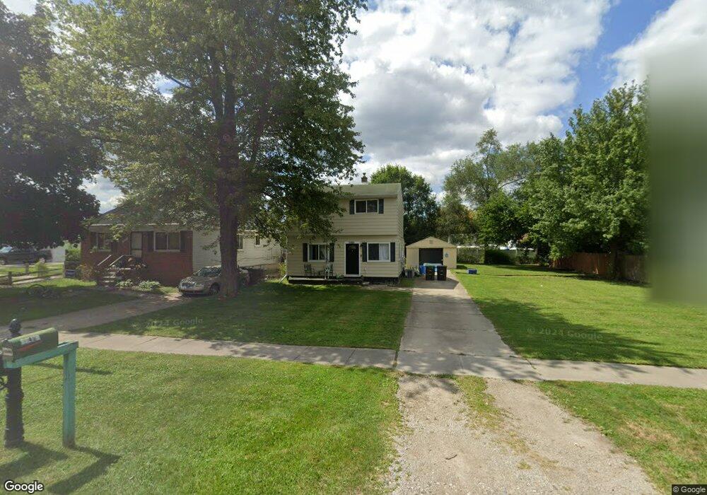
15526 Buck St Unit Bldg-Unit Taylor, MI 48180
Estimated Value: $168,540 - $203,000
--
Bed
2
Baths
1,236
Sq Ft
$151/Sq Ft
Est. Value
About This Home
This home is located at 15526 Buck St Unit Bldg-Unit, Taylor, MI 48180 and is currently estimated at $186,135, approximately $150 per square foot. 15526 Buck St Unit Bldg-Unit is a home located in Wayne County with nearby schools including Eureka Heights Elementary School, Robert J. West Middle School, and Trillium Academy.
Ownership History
Date
Name
Owned For
Owner Type
Purchase Details
Closed on
Apr 26, 2019
Sold by
Paragon Management Llc
Bought by
Peterson Amanda and Peterson Alec
Current Estimated Value
Purchase Details
Closed on
Feb 16, 2018
Sold by
Arlington Dean and Lopez Mirana
Bought by
Paragon Mangement Llc
Purchase Details
Closed on
Jun 12, 2017
Sold by
Arlington Dean
Bought by
Arlington Dean
Purchase Details
Closed on
Nov 29, 2011
Sold by
Secretary Of Housing & Urban Development
Bought by
Arlington Dean
Purchase Details
Closed on
Sep 8, 2011
Sold by
Wells Fargo Bank Na
Bought by
The Secretary Of Housing & Urban Develop
Purchase Details
Closed on
Mar 2, 2011
Sold by
Dyer Sherry
Bought by
Wells Fargo Bank Na
Purchase Details
Closed on
Jan 6, 2000
Sold by
Mohler Barbara A
Bought by
Western Property Consultants
Purchase Details
Closed on
Oct 13, 1999
Sold by
Asset Management Holding
Bought by
Mohler Darryl E
Create a Home Valuation Report for This Property
The Home Valuation Report is an in-depth analysis detailing your home's value as well as a comparison with similar homes in the area
Home Values in the Area
Average Home Value in this Area
Purchase History
| Date | Buyer | Sale Price | Title Company |
|---|---|---|---|
| Peterson Amanda | $115,000 | Michigan Title Ins Agcy Inc | |
| Paragon Mangement Llc | $65,000 | Devon Title Agency | |
| Arlington Dean | -- | Devon Title Agency | |
| Arlington Dean | $23,100 | None Available | |
| The Secretary Of Housing & Urban Develop | -- | None Available | |
| Wells Fargo Bank Na | $100,392 | None Available | |
| Western Property Consultants | $13,901 | -- | |
| Mohler Darryl E | $3,976 | -- |
Source: Public Records
Tax History Compared to Growth
Tax History
| Year | Tax Paid | Tax Assessment Tax Assessment Total Assessment is a certain percentage of the fair market value that is determined by local assessors to be the total taxable value of land and additions on the property. | Land | Improvement |
|---|---|---|---|---|
| 2025 | $2,009 | $75,400 | $0 | $0 |
| 2024 | $2,009 | $63,500 | $0 | $0 |
| 2023 | $2,409 | $56,200 | $0 | $0 |
| 2022 | $1,917 | $48,000 | $0 | $0 |
| 2021 | $2,123 | $46,300 | $0 | $0 |
| 2020 | $2,101 | $40,100 | $0 | $0 |
| 2019 | $200,690 | $37,700 | $0 | $0 |
| 2018 | $1,144 | $26,700 | $0 | $0 |
| 2017 | $820 | $27,100 | $0 | $0 |
| 2016 | $2,981 | $26,400 | $0 | $0 |
| 2015 | $2,610 | $26,100 | $0 | $0 |
| 2013 | $3,310 | $34,500 | $0 | $0 |
| 2012 | $1,450 | $33,300 | $8,200 | $25,100 |
Source: Public Records
Map
Nearby Homes
- 15431 Cooper St
- 27277 Eureka Rd
- 0000 Eureka Rd
- 15065 Westlake St
- 15425 Leader St
- 15766 Dupage Blvd
- 14442 Buck St
- 0000 Cornell
- 14447 Telegraph Rd
- 15679 Gulley St
- 25095 Darin St
- 25007 Cary St
- 25388 Kelli Ct
- 14342 Westpoint St
- 14375 Cornell St
- 14331 Westpoint St
- 14312 Cornell St
- 19958 Telegraph Rd
- 14198 Syracuse St
- Vacant Land Pennsylvania Rd