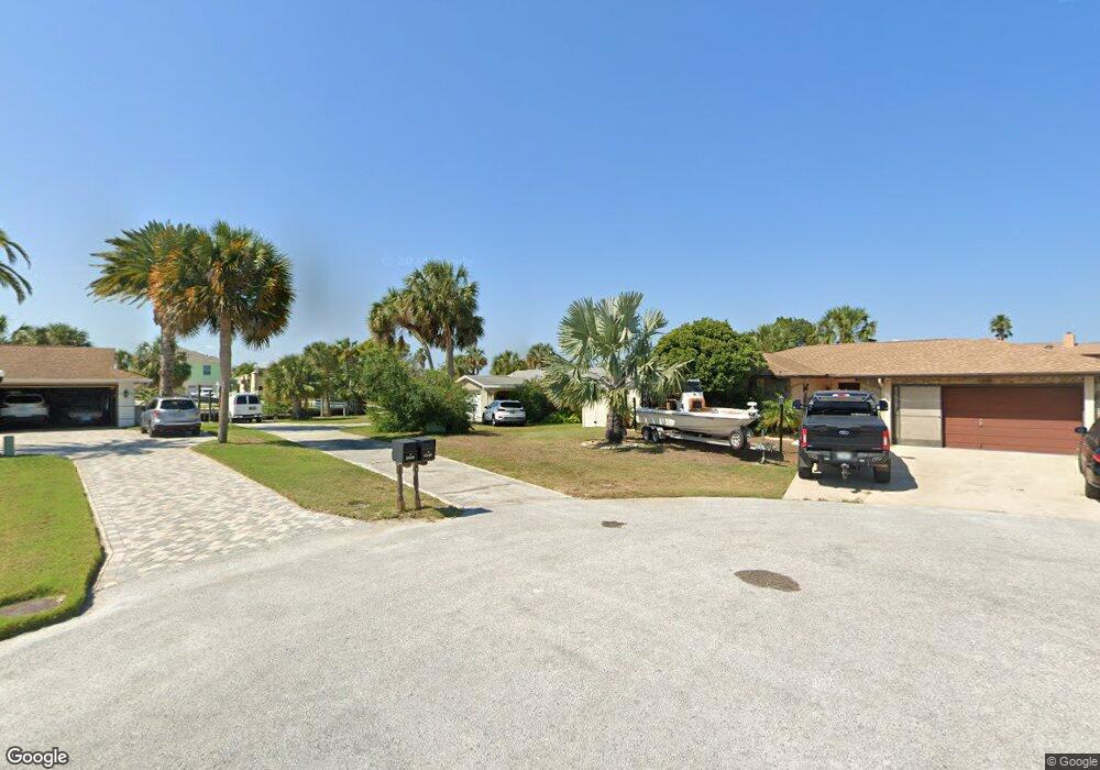
15529 Allmand Dr Hudson, FL 34667
Estimated Value: $385,000 - $608,000
2
Beds
2
Baths
1,865
Sq Ft
$268/Sq Ft
Est. Value
About This Home
This home is located at 15529 Allmand Dr, Hudson, FL 34667 and is currently estimated at $499,896, approximately $268 per square foot. 15529 Allmand Dr is a home located in Pasco County with nearby schools including West Pasco Education Academy, Hudson Middle School, and Hudson High School.
Ownership History
Date
Name
Owned For
Owner Type
Purchase Details
Closed on
Feb 11, 2015
Sold by
Chuderewicz Harry
Bought by
Visicaro John
Current Estimated Value
Home Financials for this Owner
Home Financials are based on the most recent Mortgage that was taken out on this home.
Original Mortgage
$217,620
Interest Rate
5%
Mortgage Type
Seller Take Back
Purchase Details
Closed on
Jul 16, 2004
Sold by
Fairbanks Walter and Fairbanks Sandra J
Bought by
Chuderewicz Harry and Chuderewicz Mary Ann
Create a Home Valuation Report for This Property
The Home Valuation Report is an in-depth analysis detailing your home's value as well as a comparison with similar homes in the area
Home Values in the Area
Average Home Value in this Area
Purchase History
| Date | Buyer | Sale Price | Title Company |
|---|---|---|---|
| Visicaro John | $272,025 | Capstone Title Llc | |
| Chuderewicz Harry | $180,000 | Keystone Title Agency Inc |
Source: Public Records
Mortgage History
| Date | Status | Borrower | Loan Amount |
|---|---|---|---|
| Closed | Visicaro John | $217,620 |
Source: Public Records
Tax History
| Year | Tax Paid | Tax Assessment Tax Assessment Total Assessment is a certain percentage of the fair market value that is determined by local assessors to be the total taxable value of land and additions on the property. | Land | Improvement |
|---|---|---|---|---|
| 2026 | $4,849 | $332,751 | -- | -- |
| 2025 | $4,849 | $332,751 | -- | -- |
| 2024 | $4,849 | $314,900 | -- | -- |
| 2023 | $4,677 | $306,065 | $0 | $0 |
| 2022 | $4,209 | $297,499 | $0 | $0 |
| 2021 | $4,139 | $289,184 | $115,787 | $173,397 |
| 2020 | $4,078 | $285,429 | $112,367 | $173,062 |
| 2019 | $4,729 | $282,885 | $112,367 | $170,518 |
| 2018 | $4,472 | $266,380 | $112,370 | $154,010 |
| 2017 | $4,379 | $255,629 | $112,370 | $143,259 |
| 2016 | $4,157 | $241,127 | $112,370 | $128,757 |
| 2015 | $2,522 | $180,639 | $0 | $0 |
| 2014 | $2,439 | $229,595 | $112,370 | $117,225 |
Source: Public Records
Map
Nearby Homes
- 7114 Southwind Dr
- 15564 Bertram Dr
- 0 Southwind Dr Unit T3407844
- 0 Southwind Dr Unit MFRTB8444913
- 15615 Bertram Dr
- 0 Yachtsman Dr
- 7312 Southwind Dr
- 15631 Allmand Dr
- 15631 Bertram Dr
- 7034 Southwind Dr
- 7324 Islander Ln
- 7332 Islander Ln
- 7312 Mako Dr
- 7313 Mako Dr
- 7401 Islander Ln
- 7302 Hatteras Dr
- 15713 Century Dr
- 7313 Hatteras Dr
- 7410 Mako Dr
- 7331 Hatteras Dr
- 15531 Allmand Dr
- 15535 Allmand Dr Unit 3
- Allmand Dr
- 15530 Allmand Dr
- 15530 Bertram Dr
- LOT22 Southwind Dr
- 7114? Southwind Dr
- 7118 Southwind Dr
- LOT 130 Southwind Dr
- 7210 Southwind Dr
- 15532 Bertram Dr
- 15541 Allmand Dr
- 7206 Southwind Dr
- 15536 Allmand Dr
- 7216 Southwind Dr
- 7224 Southwind Dr
- 7138 Southwind Dr
- 15540 Allmand Dr
- 15603 Allmand Dr
- 7230 Southwind Dr
Your Personal Tour Guide
Ask me questions while you tour the home.