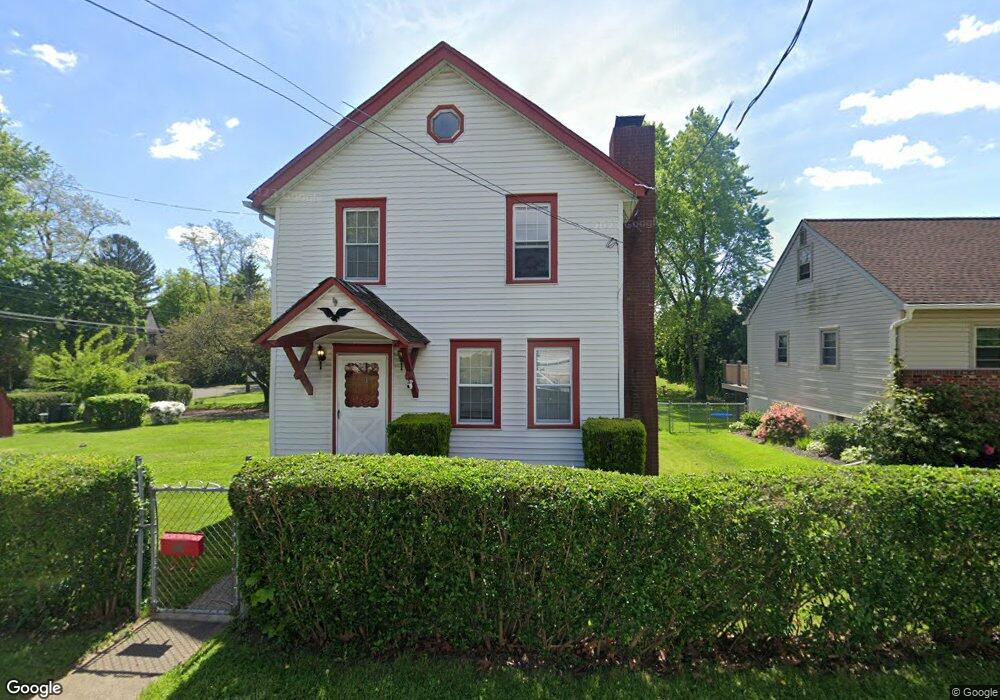
1553 Forrest Ave Feasterville Trevose, PA 19053
Estimated Value: $326,831 - $436,000
3
Beds
2
Baths
1,320
Sq Ft
$287/Sq Ft
Est. Value
About This Home
This home is located at 1553 Forrest Ave, Feasterville Trevose, PA 19053 and is currently estimated at $378,208, approximately $286 per square foot. 1553 Forrest Ave is a home located in Bucks County with nearby schools including Tawanka Elementary School, Poquessing Middle School, and Neshaminy High School.
Ownership History
Date
Name
Owned For
Owner Type
Purchase Details
Closed on
Mar 26, 2008
Sold by
Drechsel Denise and Martino Tracey
Bought by
Newman Joey E and Matias Michael
Current Estimated Value
Home Financials for this Owner
Home Financials are based on the most recent Mortgage that was taken out on this home.
Original Mortgage
$218,500
Outstanding Balance
$140,774
Interest Rate
6.3%
Mortgage Type
Purchase Money Mortgage
Estimated Equity
$237,434
Purchase Details
Closed on
Sep 8, 1969
Bought by
Riccardi Louis J and Riccardi Dolores
Create a Home Valuation Report for This Property
The Home Valuation Report is an in-depth analysis detailing your home's value as well as a comparison with similar homes in the area
Home Values in the Area
Average Home Value in this Area
Purchase History
| Date | Buyer | Sale Price | Title Company |
|---|---|---|---|
| Newman Joey E | $230,000 | First American Title Ins Co | |
| Riccardi Louis J | -- | -- |
Source: Public Records
Mortgage History
| Date | Status | Borrower | Loan Amount |
|---|---|---|---|
| Open | Newman Joey E | $218,500 |
Source: Public Records
Tax History Compared to Growth
Tax History
| Year | Tax Paid | Tax Assessment Tax Assessment Total Assessment is a certain percentage of the fair market value that is determined by local assessors to be the total taxable value of land and additions on the property. | Land | Improvement |
|---|---|---|---|---|
| 2025 | $2,383 | $11,200 | $4,120 | $7,080 |
| 2024 | $2,383 | $11,200 | $4,120 | $7,080 |
| 2023 | $2,361 | $11,200 | $4,120 | $7,080 |
| 2022 | $2,297 | $11,200 | $4,120 | $7,080 |
| 2021 | $2,297 | $11,200 | $4,120 | $7,080 |
| 2020 | $2,269 | $11,200 | $4,120 | $7,080 |
| 2019 | $2,218 | $11,200 | $4,120 | $7,080 |
| 2018 | $2,177 | $11,200 | $4,120 | $7,080 |
| 2017 | $2,120 | $11,200 | $4,120 | $7,080 |
| 2016 | $2,120 | $11,200 | $4,120 | $7,080 |
| 2015 | $1,496 | $11,200 | $4,120 | $7,080 |
| 2014 | $1,496 | $11,200 | $4,120 | $7,080 |
Source: Public Records
Map
Nearby Homes
- 510 Walnut Ave
- 533 Avenue F
- 611 Rosewood Ave
- 402 Larchwood Ave
- 387 Larchwood Ave
- 1544 Brownsville Rd
- 1515 N Meadowbrook Rd
- 3633 Brownsville Rd
- 235 Andrews Rd
- 517 Somers Ave
- 4970 Central Ave
- 1904 Acorn St
- 1215 W Pine St
- 3866 Spruce Ave
- 4357 Brownsville Rd
- 503 W Pine St
- 111 E Endfield Rd
- 1700 Colonial Dr
- 155 Platt Place
- 836 E Bristol Rd
- 1565 Forrest Ave
- 515 Walnut Ave
- 485 Walnut Ave
- 1571 Forrest Ave
- 1607 Forrest Ave
- 1604 Forrest Ave
- 518 Walnut Ave
- 512 Avenue F
- 481 Walnut Ave
- 518 Avenue F
- 478 Walnut Ave
- 476 Larchwood Ave
- 511 Rosewood Ave
- 519 Rosewood Ave
- 1608 Forrest Ave
- 525 Rosewood Ave
- 501 Avenue F
- 524 Avenue F
- 468 Larchwood Ave
- 532 Walnut Ave