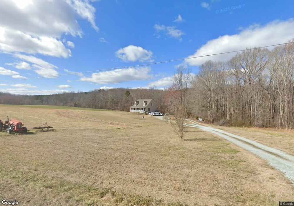
1553 Morton Pulliam Rd Roxboro, NC 27574
Estimated Value: $284,000 - $364,000
3
Beds
3
Baths
1,792
Sq Ft
$178/Sq Ft
Est. Value
About This Home
This home is located at 1553 Morton Pulliam Rd, Roxboro, NC 27574 and is currently estimated at $318,284, approximately $177 per square foot. 1553 Morton Pulliam Rd is a home located in Person County with nearby schools including Person High School and Roxboro Community School.
Ownership History
Date
Name
Owned For
Owner Type
Purchase Details
Closed on
Dec 1, 2021
Sold by
Sugg Joyce O and Sugg Richard M
Bought by
Lee Rodney Earl
Current Estimated Value
Home Financials for this Owner
Home Financials are based on the most recent Mortgage that was taken out on this home.
Original Mortgage
$178,700
Outstanding Balance
$153,020
Interest Rate
3.09%
Mortgage Type
New Conventional
Estimated Equity
$165,264
Purchase Details
Closed on
Jul 26, 2004
Bought by
Sugg Joyce O and Sugg Richard M
Create a Home Valuation Report for This Property
The Home Valuation Report is an in-depth analysis detailing your home's value as well as a comparison with similar homes in the area
Home Values in the Area
Average Home Value in this Area
Purchase History
| Date | Buyer | Sale Price | Title Company |
|---|---|---|---|
| Lee Rodney Earl | $210,000 | None Available | |
| Sugg Joyce O | -- | -- |
Source: Public Records
Mortgage History
| Date | Status | Borrower | Loan Amount |
|---|---|---|---|
| Open | Lee Rodney Earl | $178,700 |
Source: Public Records
Tax History Compared to Growth
Tax History
| Year | Tax Paid | Tax Assessment Tax Assessment Total Assessment is a certain percentage of the fair market value that is determined by local assessors to be the total taxable value of land and additions on the property. | Land | Improvement |
|---|---|---|---|---|
| 2025 | $2,322 | $345,300 | $0 | $0 |
| 2024 | $1,891 | $243,800 | $0 | $0 |
| 2023 | $1,891 | $243,800 | $0 | $0 |
| 2022 | $1,885 | $243,800 | $0 | $0 |
| 2021 | $1,830 | $243,800 | $0 | $0 |
| 2020 | $1,442 | $191,867 | $0 | $0 |
| 2019 | $1,461 | $191,867 | $0 | $0 |
| 2018 | $1,370 | $191,867 | $0 | $0 |
| 2017 | $1,351 | $191,867 | $0 | $0 |
| 2016 | $1,351 | $191,867 | $0 | $0 |
| 2015 | $1,351 | $191,867 | $0 | $0 |
| 2014 | $1,351 | $191,867 | $0 | $0 |
Source: Public Records
Map
Nearby Homes
- 2710 Morton Pulliam Rd
- 2778 Morton-Pulliam Rd
- 9 Buttonwood Ln
- 25 Poplar Lane Rd
- 60 Banbury Ct
- 382 Wimbledon Dr
- 102 Scotland Place
- 305 Lochridge Dr
- 70 Sand Trap Ln
- 74 Alleghany Dr
- 11 Denada Path
- 120 Denada Path
- 2 Semora Rd
- 240 Crestwood Dr
- 209 Reade Dr
- 3291 McGhees Mill Rd
- 1257 Ridge Rd
- 150 Summit St
- 421 S Morgan St
- 318 Walker St
- 1482 Morton Pulliam Rd
- 1669 Morton Pulliam Rd
- 1385 Morton Pulliam Rd
- 56 Squirrel Hill Dr
- 59 Squirrel Hill Dr
- 1360 Morton Pulliam Rd
- 35 Squirrel Hill Dr
- 240 Nora Poole Rd
- 1292 Morton Pulliam Rd
- 177 Nora Poole Rd
- 315 Nora Poole Rd
- 1883 Morton Pulliam Rd
- 100 Rock Farm Rd
- 431 Nora Poole Rd
- Lot B Nora Poole Rd
- Lot A Nora Poole Rd
- Lot A Nora Poole Rd Unit Lot A
- Lot B Nora Poole Rd Unit Lot B
- 511 Nora Poole Rd
- 424 Nora Poole Rd