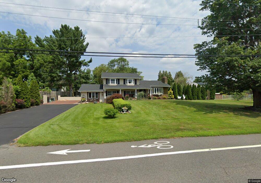
1553 Route 532 Chatsworth, NJ 08019
Estimated Value: $467,448 - $640,000
--
Bed
--
Bath
2,336
Sq Ft
$233/Sq Ft
Est. Value
About This Home
This home is located at 1553 Route 532, Chatsworth, NJ 08019 and is currently estimated at $544,362, approximately $233 per square foot. 1553 Route 532 is a home located in Burlington County with nearby schools including Chatsworth School, Seneca High School, and Shawnee High School.
Ownership History
Date
Name
Owned For
Owner Type
Purchase Details
Closed on
Feb 20, 2018
Sold by
The Township Of Woodland
Bought by
Ogle Donald J and Ogle Karen A
Current Estimated Value
Purchase Details
Closed on
Jun 29, 2007
Sold by
A R Demarco Enterprises Inc
Bought by
Ogle Donald J and Ogle Karen A
Home Financials for this Owner
Home Financials are based on the most recent Mortgage that was taken out on this home.
Original Mortgage
$10,000
Interest Rate
6.48%
Mortgage Type
Stand Alone Second
Create a Home Valuation Report for This Property
The Home Valuation Report is an in-depth analysis detailing your home's value as well as a comparison with similar homes in the area
Home Values in the Area
Average Home Value in this Area
Purchase History
| Date | Buyer | Sale Price | Title Company |
|---|---|---|---|
| Ogle Donald J | -- | None Available | |
| Ogle Donald J | $200,000 | Surety Title Agency |
Source: Public Records
Mortgage History
| Date | Status | Borrower | Loan Amount |
|---|---|---|---|
| Previous Owner | Ogle Donald J | $10,000 |
Source: Public Records
Tax History Compared to Growth
Tax History
| Year | Tax Paid | Tax Assessment Tax Assessment Total Assessment is a certain percentage of the fair market value that is determined by local assessors to be the total taxable value of land and additions on the property. | Land | Improvement |
|---|---|---|---|---|
| 2025 | $9,130 | $311,800 | $92,200 | $219,600 |
| 2024 | $8,484 | $311,800 | $92,200 | $219,600 |
| 2023 | $8,484 | $301,700 | $92,200 | $209,500 |
| 2022 | $8,324 | $301,700 | $92,200 | $209,500 |
| 2021 | $7,886 | $301,700 | $92,200 | $209,500 |
| 2020 | $7,642 | $301,700 | $92,200 | $209,500 |
| 2019 | $7,585 | $301,700 | $92,200 | $209,500 |
| 2018 | $6,852 | $301,700 | $92,200 | $209,500 |
| 2017 | $6,601 | $301,700 | $92,200 | $209,500 |
| 2016 | $6,312 | $301,700 | $92,200 | $209,500 |
| 2015 | $5,916 | $301,700 | $92,200 | $209,500 |
| 2014 | $5,150 | $301,700 | $92,200 | $209,500 |
Source: Public Records
Map
Nearby Homes
- 3921 Route 563
- 11 2nd Ave
- 1571 Route 532
- 39 B Prince St
- 39B Prince St
- 3 Canal St
- 0 Savoy Blvd Unit NJBL2097246
- 0 Savoy Blvd Unit NJBL2096132
- 0 Savoy Blvd Unit NJBL2083884
- 220 Old Tuckerton Rd Unit A
- 220 A Chatsworth Tuckerton Rd
- 220A Chatsworth Tuckerton Rd
- 3994 County Road 563
- 1208 Michigan Ave
- 450 Sooy Place Rd
- 411 Virginia Dr
- 526 Virginia Dr
- 515 W Virginia Rd
- 402 Virginia Dr
- 518 Louisiana Trail