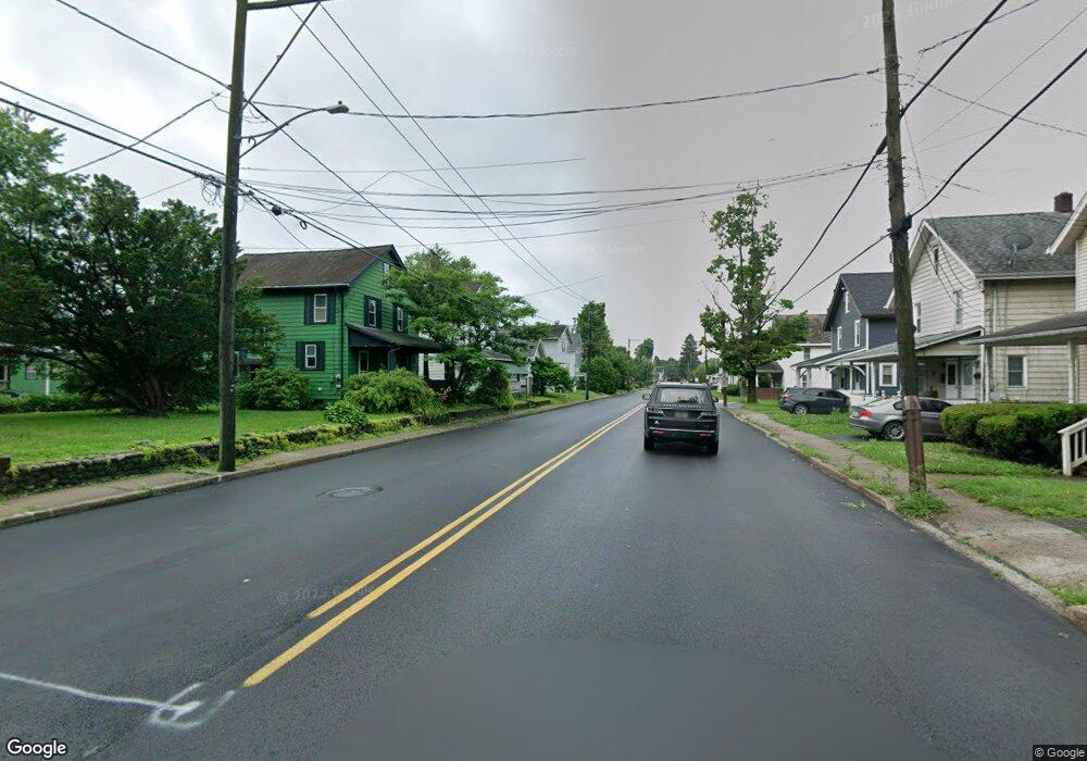
1553 Rr 1 East Stroudsburg, PA 18302
Estimated Value: $244,547 - $320,000
3
Beds
1
Bath
1,729
Sq Ft
$169/Sq Ft
Est. Value
About This Home
This home is located at 1553 Rr 1, East Stroudsburg, PA 18302 and is currently estimated at $291,887, approximately $168 per square foot. 1553 Rr 1 is a home located in Monroe County with nearby schools including Resica Elementary School, J.T. Lambert Intermediate School, and East Stroudsburg Senior High School South.
Ownership History
Date
Name
Owned For
Owner Type
Purchase Details
Closed on
Jun 29, 2005
Sold by
Hauth John Martin and Fisher Hauth Lynn
Bought by
Font Jose
Current Estimated Value
Home Financials for this Owner
Home Financials are based on the most recent Mortgage that was taken out on this home.
Original Mortgage
$177,175
Interest Rate
6.34%
Mortgage Type
Unknown
Create a Home Valuation Report for This Property
The Home Valuation Report is an in-depth analysis detailing your home's value as well as a comparison with similar homes in the area
Home Values in the Area
Average Home Value in this Area
Purchase History
| Date | Buyer | Sale Price | Title Company |
|---|---|---|---|
| Font Jose | $187,500 | Premier Abstract Services In |
Source: Public Records
Mortgage History
| Date | Status | Borrower | Loan Amount |
|---|---|---|---|
| Previous Owner | Font Jose | $177,175 |
Source: Public Records
Tax History Compared to Growth
Tax History
| Year | Tax Paid | Tax Assessment Tax Assessment Total Assessment is a certain percentage of the fair market value that is determined by local assessors to be the total taxable value of land and additions on the property. | Land | Improvement |
|---|---|---|---|---|
| 2025 | $882 | $108,290 | $19,920 | $88,370 |
| 2024 | $738 | $108,290 | $19,920 | $88,370 |
| 2023 | $3,892 | $108,290 | $19,920 | $88,370 |
| 2022 | $3,944 | $108,290 | $19,920 | $88,370 |
| 2021 | $3,884 | $108,290 | $19,920 | $88,370 |
| 2020 | $3,501 | $108,290 | $19,920 | $88,370 |
| 2019 | $3,508 | $16,730 | $2,850 | $13,880 |
| 2018 | $3,508 | $16,730 | $2,850 | $13,880 |
| 2017 | $3,508 | $16,730 | $2,850 | $13,880 |
| 2016 | $3,082 | $16,730 | $2,850 | $13,880 |
| 2015 | -- | $16,730 | $2,850 | $13,880 |
| 2014 | -- | $16,730 | $2,850 | $13,880 |
Source: Public Records
Map
Nearby Homes
- 2128 Faratol Rd
- L-30-36 Elmhurst Rd
- 112 Crown Point Dr
- 7534 Rocky Ridge Rd
- 349 Carnation Rd
- 15 Mimosa Rd
- 85 Edelweiss Rd
- 1052 Bear Swamp Rd
- 3257 Trafalgar Ave
- 6615 Delilah Rd
- 6361 Lakeshore Dr E
- 3143 Bear Swamp Rd
- 6384 Lakeshore Dr E
- 0 Pocono Forested Dr Unit PAMR2005312
- 2612 Oakwood Ct
- 541 Chancellor Rd
- 2113 Laurel Ridge Rd
- 3354 Trafalgar Ave
- 0 Pocono Forested Dr 22 Dr
- 140 Green Mountain Dr
- 2119 Horning Rd
- 23 Horning Rd
- 18 Horning Rd
- 32 Horning Rd
- 2111 Horning Rd
- Lot 26,28, Granite Rd
- 42,44,46 Granite Rd
- 34-40 Granite Rd
- 0 Granite Rd
- 45 Horning Rd
- 47 Horning Rd
- 2196 Granite Rd
- 43-45 Horning Rd
- 43,45 Horning Rd
- 0 Horning Rd
- 2107 Horning Rd
- 2 Horning Rd
- 2124 Faratol Rd
- 9 Horning Rd
- 2133 Horning Rd
