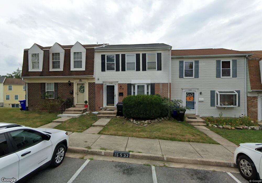
15532 Plaid Dr Laurel, MD 20707
Estimated Value: $318,627 - $366,000
Studio
3
Baths
1,320
Sq Ft
$260/Sq Ft
Est. Value
About This Home
This home is located at 15532 Plaid Dr, Laurel, MD 20707 and is currently estimated at $343,407, approximately $260 per square foot. 15532 Plaid Dr is a home located in Prince George's County with nearby schools including Scotchtown Hills Elementary School, Dwight D. Eisenhower Middle School, and Laurel High School.
Ownership History
Date
Name
Owned For
Owner Type
Purchase Details
Closed on
Jul 17, 2017
Sold by
Thorne Ricardo L and Thorne Daryl N
Bought by
Thorne Ricardo L and Thorne Daryl N
Current Estimated Value
Purchase Details
Closed on
Apr 1, 2003
Sold by
Thorne Ricardo L
Bought by
Thorne Ricardo L and Thorne Daryl H
Purchase Details
Closed on
Aug 5, 1993
Sold by
Connelly Kathleen
Bought by
Thorne Ricardo L and Thorne Patricia L
Purchase Details
Closed on
Aug 2, 1989
Sold by
Gilbert Richard H
Bought by
Connelly Kathleen
Create a Home Valuation Report for This Property
The Home Valuation Report is an in-depth analysis detailing your home's value as well as a comparison with similar homes in the area
Home Values in the Area
Average Home Value in this Area
Purchase History
| Date | Buyer | Sale Price | Title Company |
|---|---|---|---|
| Thorne Ricardo L | -- | None Available | |
| Thorne Ricardo L | -- | -- | |
| Thorne Ricardo L | $109,900 | -- | |
| Connelly Kathleen | $105,100 | -- |
Source: Public Records
Tax History
| Year | Tax Paid | Tax Assessment Tax Assessment Total Assessment is a certain percentage of the fair market value that is determined by local assessors to be the total taxable value of land and additions on the property. | Land | Improvement |
|---|---|---|---|---|
| 2025 | $5,638 | $320,700 | $90,000 | $230,700 |
| 2024 | $5,638 | $303,533 | -- | -- |
| 2023 | $5,291 | $286,367 | $0 | $0 |
| 2022 | $4,932 | $269,200 | $75,000 | $194,200 |
| 2021 | $4,639 | $254,700 | $0 | $0 |
| 2020 | $8,753 | $240,200 | $0 | $0 |
| 2019 | $4,421 | $225,700 | $75,000 | $150,700 |
| 2018 | $3,734 | $210,933 | $0 | $0 |
| 2017 | $3,358 | $196,167 | $0 | $0 |
| 2016 | -- | $181,400 | $0 | $0 |
| 2015 | $3,067 | $175,467 | $0 | $0 |
| 2014 | $3,067 | $169,533 | $0 | $0 |
Source: Public Records
Map
Nearby Homes
- 6915 Scotch Dr
- 6918 Scotch Dr
- 7002 Scotch Dr
- 7012 Scotch Dr
- 15800 Kerr Rd
- 7600 Lord Snowden Cir
- 15708 Dorset Rd Unit 203
- 15708 Dorset Rd Unit 202
- 7103 Split Rail Ln
- 15706 Dorset Rd Unit 102
- 15603 Dorset Rd Unit 101
- 15601 Dorset Rd Unit 102
- 6504 Walker Branch Dr
- 16100 Malcolm Dr
- 15709 Bond Mill Rd
- 6502 Old Sandy Spring Rd
- 7208 Cherry Ln
- 15020 Cherrywood Dr
- 15743 Millbrook Ln
- 7651 E Arbory Ct
Your Personal Tour Guide
Ask me questions while you tour the home.