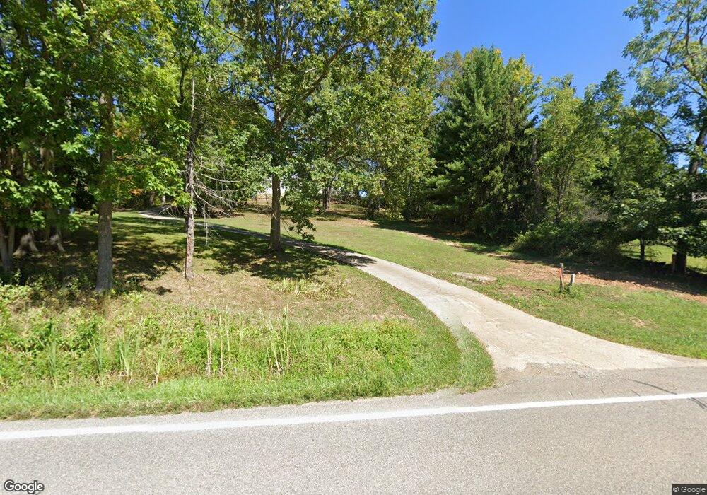
15533 State Route 550 Fleming, OH 45729
Estimated Value: $217,000 - $417,000
3
Beds
1
Bath
1,176
Sq Ft
$296/Sq Ft
Est. Value
About This Home
This home is located at 15533 State Route 550, Fleming, OH 45729 and is currently estimated at $348,235, approximately $296 per square foot. 15533 State Route 550 is a home located in Washington County with nearby schools including Warren High School.
Ownership History
Date
Name
Owned For
Owner Type
Purchase Details
Closed on
Nov 10, 2023
Sold by
Lloyd D And Yolan G Dennis Revocable Tru
Bought by
Hummitzsch Jacob M and Hummitzsch Jennifer D
Current Estimated Value
Home Financials for this Owner
Home Financials are based on the most recent Mortgage that was taken out on this home.
Original Mortgage
$67,500
Outstanding Balance
$66,279
Interest Rate
7.31%
Mortgage Type
New Conventional
Estimated Equity
$281,956
Purchase Details
Closed on
Apr 25, 2023
Sold by
Dennis Douglas R
Bought by
Dennis Lloyd D
Create a Home Valuation Report for This Property
The Home Valuation Report is an in-depth analysis detailing your home's value as well as a comparison with similar homes in the area
Home Values in the Area
Average Home Value in this Area
Purchase History
| Date | Buyer | Sale Price | Title Company |
|---|---|---|---|
| Hummitzsch Jacob M | $65,000 | None Listed On Document | |
| Dennis Lloyd D | $61,300 | None Listed On Document |
Source: Public Records
Mortgage History
| Date | Status | Borrower | Loan Amount |
|---|---|---|---|
| Open | Hummitzsch Jacob M | $67,500 |
Source: Public Records
Tax History Compared to Growth
Tax History
| Year | Tax Paid | Tax Assessment Tax Assessment Total Assessment is a certain percentage of the fair market value that is determined by local assessors to be the total taxable value of land and additions on the property. | Land | Improvement |
|---|---|---|---|---|
| 2024 | $2,885 | $76,070 | $10,820 | $65,250 |
| 2023 | $2,885 | $42,740 | $10,820 | $31,920 |
| 2022 | $1,661 | $42,900 | $10,980 | $31,920 |
| 2021 | $2,153 | $53,260 | $7,620 | $45,640 |
| 2020 | $1,761 | $53,260 | $7,620 | $45,640 |
| 2019 | $1,736 | $53,260 | $7,620 | $45,640 |
| 2018 | $1,581 | $48,040 | $6,620 | $41,420 |
| 2017 | $1,572 | $48,040 | $6,620 | $41,420 |
| 2016 | $2,445 | $48,040 | $6,620 | $41,420 |
| 2015 | $1,296 | $44,730 | $6,360 | $38,370 |
| 2014 | $2,302 | $44,730 | $6,360 | $38,370 |
| 2013 | $647 | $44,730 | $6,360 | $38,370 |
Source: Public Records
Map
Nearby Homes
- 254 Riggenbach Hill Rd
- 65 High Point Dr
- 0 Fisher Ridge Rd Tract 6
- 0 Fisher Ridge Rd Tract 7
- 0 Fisher Ridge Rd Tract 5
- 0 Fisher Ridge Rd Tract 8
- 0 Fisher Ridge Rd Tract 4
- 0 Fisher Ridge Rd Tract 2
- 0 Fisher Ridge Rd Tract 1
- 0 Fisher Ridge Rd
- 1998 Reese Rd
- 203 57th St
- 302 57th St
- 411 58th St
- 407 56th St
- 5607 Grand Central Ave
- 183 Deming Rd
- 5505 6th Ave
- 53 Central Dr
- 604 51st St
- 15585 State Route 550
- 15498 State Route 550
- 15616 Ohio 550
- 15616 Oh 550
- 15619 State Route 550
- 15357 State Route 550
- 15616 State Route 550
- 15724 State Route 550
- 15752 State Route 550
- 15768 Ohio 550
- 15780 State Route 550
- 15780 Oh 550
- 15780 Ohio 550
- 98 Salster Rd
- 15958 State Route 550
- 15998 State Route 550
- 15936 State Route 550
- 15834 Ohio 550
- 96 Salster Rd
- 15850 State Route 550
