15539 Hatfield Rd Rittman, OH 44270
Estimated Value: $321,000 - $407,704
3
Beds
2
Baths
1,875
Sq Ft
$190/Sq Ft
Est. Value
About This Home
This home is located at 15539 Hatfield Rd, Rittman, OH 44270 and is currently estimated at $356,426, approximately $190 per square foot. 15539 Hatfield Rd is a home located in Wayne County with nearby schools including Hazel Harvey Elementary School, Chippewa Intermediate School, and Chippewa Jr./Sr. High School.
Ownership History
Date
Name
Owned For
Owner Type
Purchase Details
Closed on
Oct 24, 2023
Sold by
West Thomas A and West Ruth M
Bought by
West Preservation Trust and West
Current Estimated Value
Purchase Details
Closed on
Jan 1, 1987
Bought by
West Thomas and West Ruth M
Create a Home Valuation Report for This Property
The Home Valuation Report is an in-depth analysis detailing your home's value as well as a comparison with similar homes in the area
Home Values in the Area
Average Home Value in this Area
Purchase History
| Date | Buyer | Sale Price | Title Company |
|---|---|---|---|
| West Preservation Trust | -- | None Listed On Document | |
| West Thomas | -- | -- |
Source: Public Records
Tax History
| Year | Tax Paid | Tax Assessment Tax Assessment Total Assessment is a certain percentage of the fair market value that is determined by local assessors to be the total taxable value of land and additions on the property. | Land | Improvement |
|---|---|---|---|---|
| 2024 | $4,137 | $129,050 | $42,090 | $86,960 |
| 2023 | $4,169 | $129,420 | $42,090 | $87,330 |
| 2022 | $3,035 | $88,650 | $28,830 | $59,820 |
| 2021 | $3,059 | $88,650 | $28,830 | $59,820 |
| 2020 | $3,079 | $88,650 | $28,830 | $59,820 |
| 2019 | $2,628 | $74,470 | $26,120 | $48,350 |
| 2018 | $2,654 | $74,470 | $26,120 | $48,350 |
| 2017 | $2,924 | $83,050 | $29,810 | $53,240 |
| 2016 | $2,886 | $79,850 | $28,660 | $51,190 |
| 2015 | $2,874 | $79,850 | $28,660 | $51,190 |
| 2014 | $2,525 | $79,850 | $28,660 | $51,190 |
| 2013 | $2,574 | $79,090 | $28,020 | $51,070 |
Source: Public Records
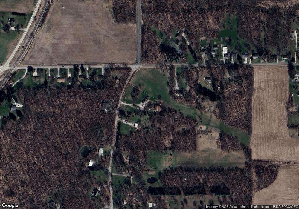
Map
Nearby Homes
- 15580 Rittman Rd
- 0 E Ohio Ave Unit 5118655
- 970 Eastern Rd
- 22, 23 Gish Rd
- 132 E Sunset Dr
- 310 N Seneca St
- 53 Thonen St
- 355 N Main St
- 65 N Seneca St
- 443 Plum Creek Dr
- 247 Hillside Dr
- 27 S State St
- 14525 Serfass Rd
- 250 Baker Dr
- 683 Whippoorwill Ln
- 64 Sheldon St
- 54 Salt St
- 56 Salt St
- 2644 Harpster Rd
- 15500 Freedom Dr
- 15491 Hatfield Rd
- 1612 Eastern Rd
- 15548 Hatfield Rd
- 15488 Hatfield Rd
- 1692 Eastern Rd
- 15448 Hatfield Rd
- 1700 Eastern Rd
- 15395 Hatfield Rd
- 15416 Hatfield Rd
- 1599 Eastern Rd
- 1710 Eastern Rd
- 1586 Eastern Rd
- 1589 Eastern Rd
- 1722 Eastern Rd
- 15361 Hatfield Rd
- 1579 Eastern Rd
- 1732 Eastern Rd
- 1558 Eastern Rd
- 1740 Eastern Rd
- 1555 Eastern Rd
Your Personal Tour Guide
Ask me questions while you tour the home.