1554 Port Stanley Rd Lopez Island, WA 98261
Estimated Value: $679,028 - $869,000
2
Beds
1
Bath
1,184
Sq Ft
$655/Sq Ft
Est. Value
About This Home
This home is located at 1554 Port Stanley Rd, Lopez Island, WA 98261 and is currently estimated at $776,007, approximately $655 per square foot. 1554 Port Stanley Rd is a home located in San Juan County with nearby schools including Lopez Elementary School and Lopez Middle High School.
Ownership History
Date
Name
Owned For
Owner Type
Purchase Details
Closed on
Dec 7, 2020
Sold by
James E Billesbach Revocable Trust and Vrooman Dolores P
Bought by
Caskey Sally Rae and Billesbach Steven Patrick
Current Estimated Value
Purchase Details
Closed on
Aug 20, 2013
Sold by
Billesbach James E
Bought by
Billesbach James E and Vrooman Dolores P
Create a Home Valuation Report for This Property
The Home Valuation Report is an in-depth analysis detailing your home's value as well as a comparison with similar homes in the area
Home Values in the Area
Average Home Value in this Area
Purchase History
| Date | Buyer | Sale Price | Title Company |
|---|---|---|---|
| Caskey Sally Rae | -- | None Listed On Document | |
| Billesbach James E | -- | None Available |
Source: Public Records
Tax History Compared to Growth
Tax History
| Year | Tax Paid | Tax Assessment Tax Assessment Total Assessment is a certain percentage of the fair market value that is determined by local assessors to be the total taxable value of land and additions on the property. | Land | Improvement |
|---|---|---|---|---|
| 2024 | $3,881 | $664,610 | $250,690 | $413,920 |
| 2023 | $3,881 | $644,070 | $250,690 | $393,380 |
| 2022 | $3,759 | $587,880 | $250,690 | $337,190 |
| 2021 | $3,247 | $468,290 | $208,910 | $259,380 |
| 2020 | $3,106 | $411,490 | $208,910 | $202,580 |
| 2019 | $2,627 | $396,390 | $208,910 | $187,480 |
| 2018 | $2,303 | $457,770 | $333,340 | $124,430 |
| 2017 | $2,108 | $274,340 | $163,630 | $110,710 |
| 2016 | $1,836 | $296,030 | $192,500 | $103,530 |
| 2015 | $1,836 | $298,200 | $192,500 | $105,700 |
| 2014 | $1,836 | $289,020 | $175,000 | $114,020 |
| 2012 | $1,836 | $290,850 | $175,000 | $115,850 |
Source: Public Records
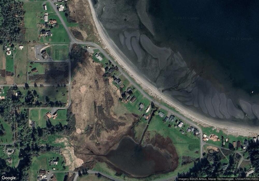
Map
Nearby Homes
- 137 Forest Ln
- 239 Shoreland Dr
- 783 Ferry Rd
- 755 Ferry Rd
- 1372 Bakerview Rd
- 162 Sea Ranch Rd
- 331 Nelson Ln
- 95 Weeks Rd
- 230 Gem Farm Ln
- 104 Estenson Rd
- 315 Mariner Dr
- 1486 Center Rd
- 0 EC-19 E Cove Rd
- 68 Sylvan Cove Rd W
- 707 NW Thatcher Pass Rd
- 295 Rum Runner Rd
- 4 Rum Runner Rd
- 583 Rum Runner Rd
- 268 Rum Runner Rd
- 1898 Bayshore Rd
- 1576 Port Stanley Rd
- 1592 Port Stanley Rd
- 1514 Port Stanley Rd
- 1608 Port Stanley Rd
- 1626 Port Stanley Rd
- 1468 Port Stanley Rd
- 1648 Port Stanley Rd
- 1668 Port Stanley Rd
- 1678 Port Stanley Rd
- 161 Biggs Ln
- 1700 Port Stanley Rd
- 1718 Port Stanley Rd
- 1721 Port Stanley Rd
- 84 Heffalump Ln
- 12 Biggs Ln
- 197 Biggs Ln
- 2030 Port Stanley Rd
- 1366 Port Stanley Rd
- 1337 Port Stanley Rd
- 55 Old Kelp Mill Rd