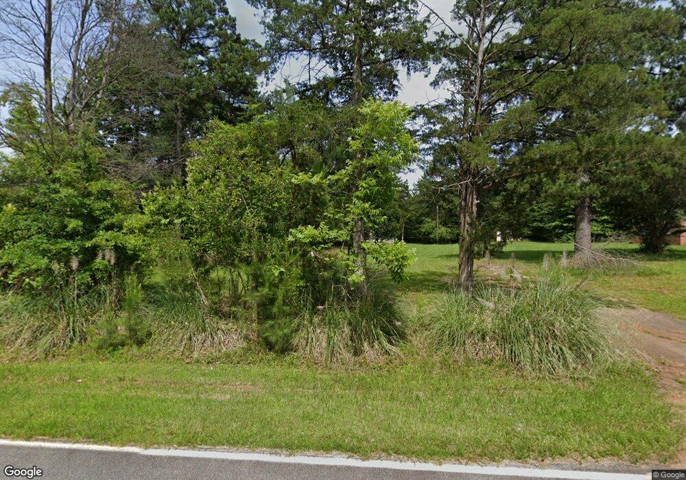
1554 Ramsey Rd Winnsboro, SC 29180
Estimated Value: $103,000 - $140,000
3
Beds
1
Bath
861
Sq Ft
$137/Sq Ft
Est. Value
About This Home
This home is located at 1554 Ramsey Rd, Winnsboro, SC 29180 and is currently estimated at $118,252, approximately $137 per square foot. 1554 Ramsey Rd is a home located in Fairfield County with nearby schools including Fairfield Middle School and Fairfield Central High School.
Ownership History
Date
Name
Owned For
Owner Type
Purchase Details
Closed on
Jul 27, 2012
Sold by
Brown William H
Bought by
Burns Cassandra H
Current Estimated Value
Home Financials for this Owner
Home Financials are based on the most recent Mortgage that was taken out on this home.
Original Mortgage
$8,157
Interest Rate
3.68%
Purchase Details
Closed on
Mar 24, 2011
Sold by
First Citizens Bank & Trust Company Inc
Bought by
Brown William H
Purchase Details
Closed on
Oct 8, 2010
Sold by
The Estate Of Roger Burns Ii
Bought by
First Citizens Bank & Trust Company Inc
Create a Home Valuation Report for This Property
The Home Valuation Report is an in-depth analysis detailing your home's value as well as a comparison with similar homes in the area
Home Values in the Area
Average Home Value in this Area
Purchase History
| Date | Buyer | Sale Price | Title Company |
|---|---|---|---|
| Burns Cassandra H | $39,000 | -- | |
| Brown William H | $16,000 | -- | |
| First Citizens Bank & Trust Company Inc | $21,000 | -- |
Source: Public Records
Mortgage History
| Date | Status | Borrower | Loan Amount |
|---|---|---|---|
| Closed | Burns Cassandra H | $8,157 |
Source: Public Records
Tax History Compared to Growth
Tax History
| Year | Tax Paid | Tax Assessment Tax Assessment Total Assessment is a certain percentage of the fair market value that is determined by local assessors to be the total taxable value of land and additions on the property. | Land | Improvement |
|---|---|---|---|---|
| 2024 | -- | $2,628 | $786 | $1,842 |
| 2023 | $1,045 | $2,628 | $786 | $1,842 |
| 2022 | $1,010 | $2,628 | $786 | $1,842 |
| 2021 | $1,011 | $2,628 | $786 | $1,842 |
| 2020 | $1,030 | $2,628 | $786 | $1,842 |
| 2019 | $896 | $2,286 | $786 | $1,500 |
| 2018 | $891 | $2,286 | $786 | $1,500 |
| 2017 | $905 | $2,340 | $0 | $0 |
| 2016 | $908 | $2,340 | $0 | $0 |
| 2015 | $679 | $0 | $0 | $0 |
| 2014 | $679 | $2,340 | $0 | $0 |
| 2012 | $679 | $1,740 | $0 | $0 |
Source: Public Records
Map
Nearby Homes
- 4597 Old Airport Rd
- 223 Cammack Rd
- 1236 Newberry Rd
- 0 Turkey Creek Rd
- 23 &24 Kingswood Dr
- 108 Cornwallis Dr
- 3669 Douglass Rd
- 0 S Carolina 200
- 323 W High St
- 64 Robinson Ave
- 274 Old Harden Rd
- 719 W College St
- 51 Sycamore St
- 904 State Highway 200
- 904 S Carolina 200
- 201 Hillcrest Dr
- 129 N Zion St
- 0 W Highway 321 Unit 535193
- 0 W Highway 321 Unit 535192
- 0 321 Hwy Unit 592022
- 1524 Ramsey Rd
- 1474 Ramsey Rd
- 169 Nascar Dr
- 4430 Old Airport Rd
- 1388 Ramsey Rd
- 4468 Old Airport Rd
- 4561 Old Airport Rd
- 4543 Old Airport Rd
- 4727 Old Airport Rd
- 1356 Ramsey Rd
- 4473 Old Airport Rd
- 4749 Old Airport Rd
- 23 Magnolia Dr
- 4418 Old Airport Rd
- 4471 Old Airport Rd
- 4529 Old Airport Rd
- 4535 Old Airport Rd
- 4396 Old Airport Rd
- 75 Magnolia Dr
- 20 Magnolia Dr
