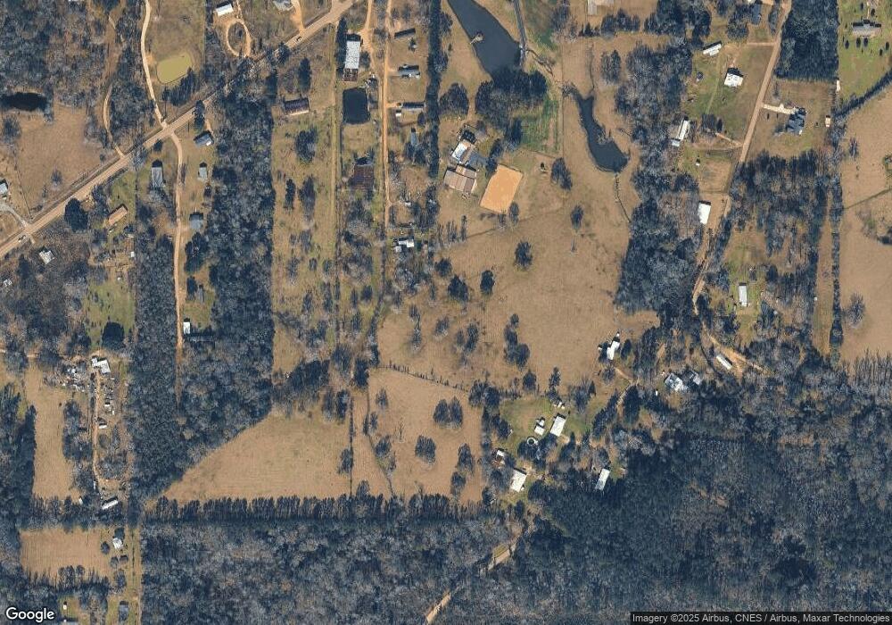
15542 Highway 10 Roseland, LA 70456
Estimated Value: $91,000 - $305,000
4
Beds
1
Bath
1,800
Sq Ft
$128/Sq Ft
Est. Value
About This Home
This home is located at 15542 Highway 10, Roseland, LA 70456 and is currently estimated at $230,253, approximately $127 per square foot. 15542 Highway 10 is a home located in Tangipahoa Parish with nearby schools including Chesbrough Elementary School, Jewel M. Sumner Middle School, and Jewel M. Sumner High School.
Ownership History
Date
Name
Owned For
Owner Type
Purchase Details
Closed on
Feb 13, 2008
Sold by
Kyzar Jimmie L
Bought by
Kimble Sarah Kyzar
Current Estimated Value
Home Financials for this Owner
Home Financials are based on the most recent Mortgage that was taken out on this home.
Original Mortgage
$57,471
Outstanding Balance
$36,270
Interest Rate
6.07%
Mortgage Type
Future Advance Clause Open End Mortgage
Estimated Equity
$193,983
Create a Home Valuation Report for This Property
The Home Valuation Report is an in-depth analysis detailing your home's value as well as a comparison with similar homes in the area
Home Values in the Area
Average Home Value in this Area
Purchase History
| Date | Buyer | Sale Price | Title Company |
|---|---|---|---|
| Kimble Sarah Kyzar | $56,742 | None Available |
Source: Public Records
Mortgage History
| Date | Status | Borrower | Loan Amount |
|---|---|---|---|
| Open | Kimble Sarah Kyzar | $57,471 |
Source: Public Records
Tax History Compared to Growth
Tax History
| Year | Tax Paid | Tax Assessment Tax Assessment Total Assessment is a certain percentage of the fair market value that is determined by local assessors to be the total taxable value of land and additions on the property. | Land | Improvement |
|---|---|---|---|---|
| 2024 | $1,112 | $14,493 | $1,884 | $12,609 |
| 2023 | $1,118 | $14,493 | $1,884 | $12,609 |
| 2022 | $1,118 | $14,493 | $1,884 | $12,609 |
| 2021 | $510 | $14,493 | $1,884 | $12,609 |
| 2020 | $1,190 | $14,493 | $1,884 | $12,609 |
| 2019 | $1,191 | $14,493 | $1,884 | $12,609 |
| 2018 | $1,176 | $14,493 | $1,884 | $12,609 |
| 2017 | $1,147 | $14,493 | $1,884 | $12,609 |
| 2016 | $1,176 | $14,493 | $1,884 | $12,609 |
| 2015 | $583 | $14,493 | $1,884 | $12,609 |
| 2014 | $596 | $14,493 | $1,884 | $12,609 |
Source: Public Records
Map
Nearby Homes
- 0 Russell Town Rd Unit 2506625
- TBD Off S River Road Other
- 14181 E Russell Town Rd
- 62636 Russell Town Rd
- Hwy 1058 Unit LotWP003
- Hwy 1058 Unit LotWP001
- Hwy 1058 Unit LotWP004
- 68569 Louisiana 1058
- 12663 Arcola Rd
- La Hwy 1058 Unit LotWP002
- Hwy 1058 Unit LotWP003
- 0 Louisiana 1058 Unit 2525282
- 20 Acres U S Highway 51
- La Hwy 1058 Unit LotWP001
- 62057 Louisiana 1054
- 64161 U S Highway 51
- 64161 U S 51
- 0 Commercial St
- 63036 Church St
- 0 Tangipahoa Ave
- 15542 Highway 10
- 15542 Highway 10
- 15551 Louisiana 10
- 15551 Highway 10
- 15560 Highway 10
- 15711 Highway 10
- 15561 Highway 10
- 64456 Wicker Ln
- 65045 Vernon Town Rd
- 15564 Highway 10
- 15661 Highway 10
- 15564 Louisiana 10
- 15523 Highway 10
- 64422 Wicker Ln
- 64422 Wicker Ln
- 15605 Highway 10
- 15542 Louisiana 10
- 15416 Highway 10
- 15416 Highway 10
- 15416 Highway 10
