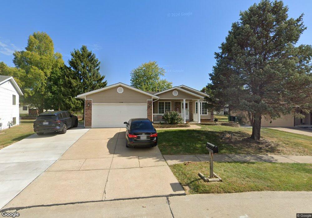
15544 97th Ave Florissant, MO 63034
Estimated Value: $212,000 - $223,000
3
Beds
3
Baths
1,322
Sq Ft
$165/Sq Ft
Est. Value
About This Home
This home is located at 15544 97th Ave, Florissant, MO 63034 and is currently estimated at $217,507, approximately $164 per square foot. 15544 97th Ave is a home located in St. Louis County with nearby schools including Barrington Elementary School, North Middle School, and Hazelwood Central High School.
Ownership History
Date
Name
Owned For
Owner Type
Purchase Details
Closed on
Dec 3, 2004
Sold by
May Thomas J and May Cynthia A
Bought by
Musleh Fadi I and Jaraba Ghadir S
Current Estimated Value
Home Financials for this Owner
Home Financials are based on the most recent Mortgage that was taken out on this home.
Original Mortgage
$125,115
Outstanding Balance
$72,310
Interest Rate
8.12%
Mortgage Type
Purchase Money Mortgage
Estimated Equity
$145,197
Create a Home Valuation Report for This Property
The Home Valuation Report is an in-depth analysis detailing your home's value as well as a comparison with similar homes in the area
Home Values in the Area
Average Home Value in this Area
Purchase History
| Date | Buyer | Sale Price | Title Company |
|---|---|---|---|
| Musleh Fadi I | $131,700 | -- |
Source: Public Records
Mortgage History
| Date | Status | Borrower | Loan Amount |
|---|---|---|---|
| Open | Musleh Fadi I | $125,115 |
Source: Public Records
Tax History Compared to Growth
Tax History
| Year | Tax Paid | Tax Assessment Tax Assessment Total Assessment is a certain percentage of the fair market value that is determined by local assessors to be the total taxable value of land and additions on the property. | Land | Improvement |
|---|---|---|---|---|
| 2025 | $3,325 | $43,000 | $4,920 | $38,080 |
| 2024 | $3,325 | $36,830 | $4,280 | $32,550 |
| 2023 | $3,313 | $36,830 | $4,280 | $32,550 |
| 2022 | $3,074 | $30,390 | $6,540 | $23,850 |
| 2021 | $2,908 | $30,390 | $6,540 | $23,850 |
| 2020 | $2,798 | $27,230 | $4,920 | $22,310 |
| 2019 | $2,776 | $27,230 | $4,920 | $22,310 |
| 2018 | $2,099 | $18,980 | $3,250 | $15,730 |
| 2017 | $2,097 | $18,980 | $3,250 | $15,730 |
| 2016 | $2,018 | $17,960 | $3,250 | $14,710 |
| 2015 | $1,942 | $17,960 | $3,250 | $14,710 |
| 2014 | $2,181 | $20,120 | $4,180 | $15,940 |
Source: Public Records
Map
Nearby Homes
- 4120 90th Ave
- 623 Bugle Run Dr
- 3914 Birkemeier Dr
- 738 Waterfall Dr
- 3811 Halter Ct
- 4097 Fox Island Dr
- 15467 Jost Main St
- 14736 Verdun Estates Dr
- 3870 Hope Haven Dr
- 644 Shadow Rock Dr
- 989 Brookfield Chase Ct
- 1025 Exacta Ct
- 4242 Vaile Ave
- 3716 Rue de Renard
- 15509 Debridge Way
- 519 Greenway Chase Ct
- 4368 Keevenshore Dr
- 2756 Aberdeen Dr
- 1069 Saratoga Springs Ct
- 3898 Hirondelle Ln
- 15538 97th Ave
- 15550 97th Ave
- 15563 Fox Plains Dr
- 15569 Fox Plains Dr
- 15557 Fox Plains Dr
- 15532 97th Ave
- 15575 Fox Plains Dr
- 15556 97th Ave
- 15551 Fox Plains Dr
- 15539 97th Ave
- 15568 Ninety-Seventh Ave
- 15581 Fox Plains Dr
- 15561 97th Ave
- 15533 Ninety-Seventh Ave
- 15526 97th Ave
- 15562 97th Ave
- 15587 Fox Plains Dr
- 15545 Fox Plains Dr
- 15552 95th Ave
- 15527 97th Ave