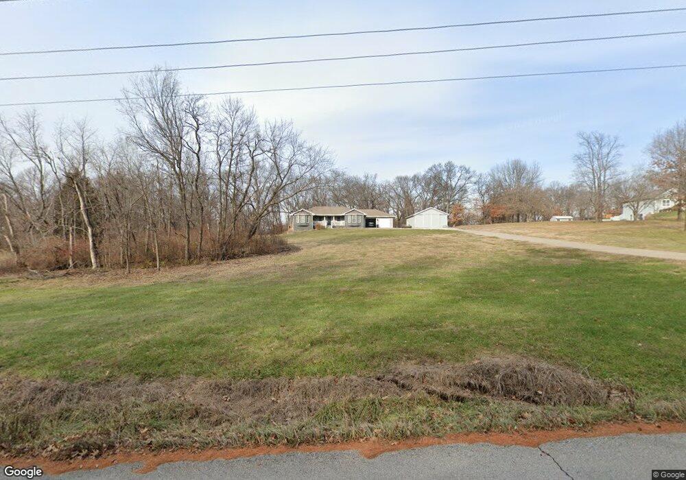
1555 Brunke Rd Excelsior Springs, MO 64024
Estimated Value: $406,000 - $502,826
3
Beds
3
Baths
1,720
Sq Ft
$268/Sq Ft
Est. Value
About This Home
This home is located at 1555 Brunke Rd, Excelsior Springs, MO 64024 and is currently estimated at $461,609, approximately $268 per square foot. 1555 Brunke Rd is a home located in Clay County with nearby schools including Excelsior Springs High School.
Ownership History
Date
Name
Owned For
Owner Type
Purchase Details
Closed on
Jan 12, 2005
Sold by
Batchelor Gertrude E and Stanhope Carol E
Bought by
Blevins Douglas E and Blevins Leigh Ann
Current Estimated Value
Home Financials for this Owner
Home Financials are based on the most recent Mortgage that was taken out on this home.
Original Mortgage
$40,716
Interest Rate
5.8%
Mortgage Type
Purchase Money Mortgage
Create a Home Valuation Report for This Property
The Home Valuation Report is an in-depth analysis detailing your home's value as well as a comparison with similar homes in the area
Home Values in the Area
Average Home Value in this Area
Purchase History
| Date | Buyer | Sale Price | Title Company |
|---|---|---|---|
| Blevins Douglas E | -- | First American Title Ins Co |
Source: Public Records
Mortgage History
| Date | Status | Borrower | Loan Amount |
|---|---|---|---|
| Closed | Blevins Douglas E | $40,716 |
Source: Public Records
Tax History Compared to Growth
Tax History
| Year | Tax Paid | Tax Assessment Tax Assessment Total Assessment is a certain percentage of the fair market value that is determined by local assessors to be the total taxable value of land and additions on the property. | Land | Improvement |
|---|---|---|---|---|
| 2025 | $3,695 | $57,610 | -- | -- |
| 2024 | $3,695 | $52,690 | -- | -- |
| 2023 | $3,672 | $52,690 | $0 | $0 |
| 2022 | $3,346 | $47,220 | $0 | $0 |
| 2021 | $3,358 | $47,215 | $6,764 | $40,451 |
| 2020 | $3,259 | $44,540 | $0 | $0 |
| 2019 | $3,257 | $44,540 | $0 | $0 |
| 2018 | $2,902 | $39,580 | $0 | $0 |
| 2017 | $2,736 | $39,570 | $5,240 | $34,330 |
| 2016 | $2,736 | $38,240 | $5,240 | $33,000 |
| 2015 | $2,761 | $38,240 | $5,240 | $33,000 |
| 2014 | $2,670 | $36,650 | $5,240 | $31,410 |
Source: Public Records
Map
Nearby Homes
- 1724 Aspen Ln
- 2317 Rhonda Rd
- 100 Sherri Ln
- 2006 E Norma Ct
- 112 Delores St
- 0 Meadowlark Ln
- 1018 Miss Belle St
- 1318 Kristie Cir
- 1017 Rose Ave
- 1009 Miss Belle St
- 328 Virginia Rd
- 822 Dogwood St
- 316 May St
- 1223 Milwaukee St
- 1216 Michele Dr
- 617 Lodwick Ln
- 609 Kimberly Dr
- 119 May St
- 1104 Frontier St
- 941 N Jesse James Rd