1555 Laird Cir Colorado Springs, CO 80906
Broadmoor NeighborhoodEstimated Value: $970,000 - $1,043,000
4
Beds
4
Baths
2,609
Sq Ft
$387/Sq Ft
Est. Value
About This Home
This home is located at 1555 Laird Cir, Colorado Springs, CO 80906 and is currently estimated at $1,008,956, approximately $386 per square foot. 1555 Laird Cir is a home located in El Paso County with nearby schools including Broadmoor Elementary School, Cheyenne Mountain Junior High School, and Cheyenne Mountain High School.
Ownership History
Date
Name
Owned For
Owner Type
Purchase Details
Closed on
Oct 7, 2011
Sold by
Dowis Deborah A and Dowis Franklin M
Bought by
Dowis Franklin M
Current Estimated Value
Home Financials for this Owner
Home Financials are based on the most recent Mortgage that was taken out on this home.
Original Mortgage
$499,200
Outstanding Balance
$344,875
Interest Rate
4.37%
Mortgage Type
New Conventional
Estimated Equity
$664,081
Purchase Details
Closed on
Jan 3, 2007
Sold by
Dowis Franklin M
Bought by
Dowis Deborah A and Dowis Franklin M
Purchase Details
Closed on
Aug 31, 1989
Bought by
Dowis Franklin M
Purchase Details
Closed on
Jul 31, 1989
Bought by
Dowis Franklin M
Purchase Details
Closed on
Jul 1, 1987
Bought by
Dowis Franklin M
Create a Home Valuation Report for This Property
The Home Valuation Report is an in-depth analysis detailing your home's value as well as a comparison with similar homes in the area
Home Values in the Area
Average Home Value in this Area
Purchase History
| Date | Buyer | Sale Price | Title Company |
|---|---|---|---|
| Dowis Franklin M | -- | Land Title Guarantee Company | |
| Dowis Deborah A | -- | None Available | |
| Dowis Franklin M | $292,500 | -- | |
| Dowis Franklin M | -- | -- | |
| Dowis Franklin M | -- | -- |
Source: Public Records
Mortgage History
| Date | Status | Borrower | Loan Amount |
|---|---|---|---|
| Open | Dowis Franklin M | $499,200 |
Source: Public Records
Tax History Compared to Growth
Tax History
| Year | Tax Paid | Tax Assessment Tax Assessment Total Assessment is a certain percentage of the fair market value that is determined by local assessors to be the total taxable value of land and additions on the property. | Land | Improvement |
|---|---|---|---|---|
| 2025 | $3,232 | $64,610 | -- | -- |
| 2024 | $3,132 | $47,680 | $10,280 | $37,400 |
| 2023 | $3,132 | $47,680 | $10,280 | $37,400 |
| 2022 | $3,092 | $42,570 | $7,300 | $35,270 |
| 2021 | $3,260 | $43,790 | $7,510 | $36,280 |
| 2020 | $3,209 | $42,070 | $7,510 | $34,560 |
| 2019 | $3,174 | $42,070 | $7,510 | $34,560 |
| 2018 | $3,253 | $42,360 | $7,560 | $34,800 |
| 2017 | $3,240 | $42,360 | $7,560 | $34,800 |
| 2016 | $3,801 | $50,950 | $8,360 | $42,590 |
| 2015 | $3,793 | $52,200 | $8,360 | $43,840 |
| 2014 | -- | $49,750 | $6,770 | $42,980 |
Source: Public Records
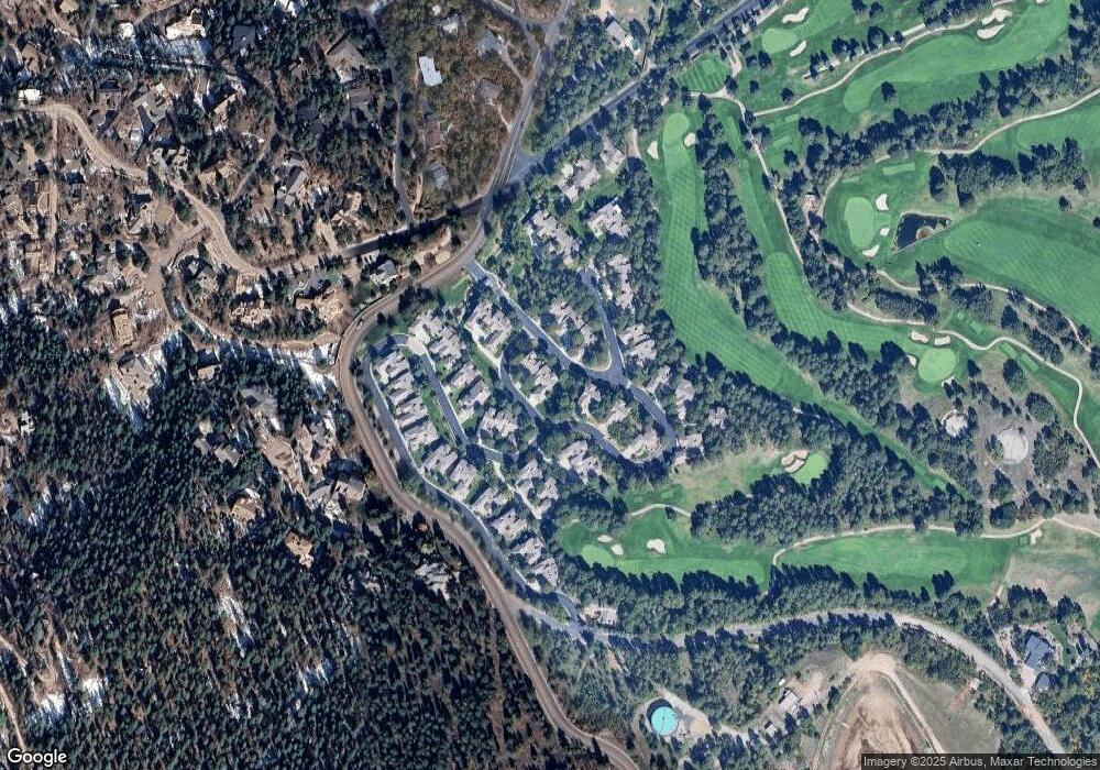
Map
Nearby Homes
- 3865 Hermitage Dr
- 0 Pine Ln Unit 9018973
- 1735 Pine Ln
- 17 Midland Rd
- 526 Penrose Blvd
- 104 Marland Rd S
- 40 Upland Rd
- 601 Penrose Blvd
- 704 Count Pourtales Dr
- 5 Penrose Blvd
- 744 Count Pourtales Dr
- 3520 Sebastian Heights
- 1815 Pine Grove Ave
- 4688 Stone Manor Heights
- 34 Marland Rd
- 455 Roxbury Cir
- 9 Broadmoor Ave
- 2002 Oak Way
- 2004 Oak Way
- 1803 Cheyenne Blvd
- 3810 Hermitage Dr
- 3820 Hermitage Dr
- 3910 Hermitage Dr
- 3755 Hermitage Dr
- 3745 Hermitage Dr
- 3920 Hermitage Dr
- 3930 Hermitage Dr
- 3735 Hermitage Dr
- 1520 Laird Cir
- 3875 Hermitage Dr
- 3830 Hermitage Dr
- 3940 Hermitage Dr
- 3925 Hermitage Dr
- 1510 Laird Cir
- 3775 Chataway Ct
- 3950 Hermitage Dr
- 3765 Chataway Ct
- 3755 Chataway Ct
- 3915 Hermitage Dr
- 3850 Hermitage Dr