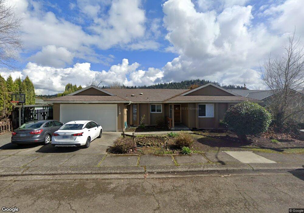
1555 Post St Lebanon, OR 97355
Estimated Value: $385,853 - $410,000
3
Beds
2
Baths
1,500
Sq Ft
$265/Sq Ft
Est. Value
About This Home
This home is located at 1555 Post St, Lebanon, OR 97355 and is currently estimated at $397,927, approximately $265 per square foot. 1555 Post St is a home located in Linn County with nearby schools including Riverview School, Seven Oak Middle School, and Lebanon High School.
Ownership History
Date
Name
Owned For
Owner Type
Purchase Details
Closed on
Oct 21, 2010
Sold by
Federal National Mortgage Association
Bought by
Eastern Llc
Current Estimated Value
Home Financials for this Owner
Home Financials are based on the most recent Mortgage that was taken out on this home.
Original Mortgage
$252,000
Outstanding Balance
$85,892
Interest Rate
4.33%
Mortgage Type
Commercial
Estimated Equity
$312,035
Purchase Details
Closed on
May 12, 2010
Sold by
Stenberg Elmer L and Stenberg Donna J
Bought by
Federal National Mortgage Association
Create a Home Valuation Report for This Property
The Home Valuation Report is an in-depth analysis detailing your home's value as well as a comparison with similar homes in the area
Home Values in the Area
Average Home Value in this Area
Purchase History
| Date | Buyer | Sale Price | Title Company |
|---|---|---|---|
| Eastern Llc | $125,000 | Amerititle | |
| Federal National Mortgage Association | $162,444 | None Available |
Source: Public Records
Mortgage History
| Date | Status | Borrower | Loan Amount |
|---|---|---|---|
| Open | Eastern Llc | $252,000 |
Source: Public Records
Tax History Compared to Growth
Tax History
| Year | Tax Paid | Tax Assessment Tax Assessment Total Assessment is a certain percentage of the fair market value that is determined by local assessors to be the total taxable value of land and additions on the property. | Land | Improvement |
|---|---|---|---|---|
| 2024 | $4,405 | $209,620 | -- | -- |
| 2023 | $4,263 | $203,520 | $0 | $0 |
| 2022 | $4,173 | $197,600 | $0 | $0 |
| 2021 | $4,024 | $191,850 | $0 | $0 |
| 2020 | $3,975 | $186,270 | $0 | $0 |
| 2019 | $3,777 | $180,850 | $0 | $0 |
| 2018 | $3,732 | $175,590 | $0 | $0 |
| 2017 | $3,361 | $170,480 | $0 | $0 |
| 2016 | $3,070 | $165,520 | $0 | $0 |
| 2015 | $2,889 | $160,700 | $0 | $0 |
| 2014 | $2,792 | $153,510 | $0 | $0 |
Source: Public Records
Map
Nearby Homes
- 732 Harmony St
- 653 E Elmore (Next To) St
- 372 Berry St
- 371 Lydia Ln
- 372 Jennings St
- 2100 Park Dr
- 0 Hiatt (Lot Unit 7000) St
- 357 Water's Edge Ct
- 1111 Hiatt St
- 300 Water's Edge Ct
- Parcel 2 E Grant St
- 0 E Grant St Unit Parcel1 24084276
- Parcel 1 E Grant St
- TL 600 E Oak St
- 938 Cleveland St
- 1400 Grove St
- 705 E Sherman St
- 2351 Gleanns Way
- 24 E Pine St
- 2368 Kokanee Way
- 1585 Post St
- 1515 Post St
- 1515 Post (-1525) St
- 1515 Post (To 1525) St
- 1550 Post St
- 1611 Post St
- 1590 Post St
- 1510 Post St
- 900 E Milton St
- 1610 Post St
- 1551 David Dr
- 1651 Post St
- 1591 David Dr
- 1515 David Dr
- 779 E Milton St
- 775 Randall Dr
- 777 E Milton St
- 777 1/2 E Milton St
- 1665 Post St
- 782 Randall Dr