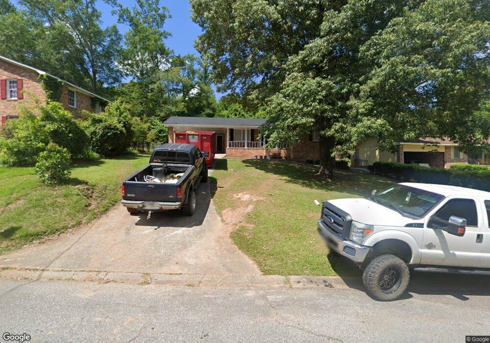
1555 Westminister(multiple Parcel) Dr Macon, GA 31204
Estimated Value: $125,000 - $169,000
3
Beds
2
Baths
1,518
Sq Ft
$96/Sq Ft
Est. Value
About This Home
This home is located at 1555 Westminister(multiple Parcel) Dr, Macon, GA 31204 and is currently estimated at $145,244, approximately $95 per square foot. 1555 Westminister(multiple Parcel) Dr is a home located in Bibb County with nearby schools including Union Elementary School, Weaver Middle School, and Westside High School.
Ownership History
Date
Name
Owned For
Owner Type
Purchase Details
Closed on
Jun 9, 2022
Sold by
Harrell Property Management Llc
Bought by
Sfr3-050 Llc
Current Estimated Value
Purchase Details
Closed on
Apr 5, 2019
Sold by
Smith Ken
Bought by
Harrell Property Management Llc
Purchase Details
Closed on
Feb 5, 2019
Sold by
Fordham Hope L
Bought by
Smith Ken
Purchase Details
Closed on
Jul 17, 2001
Bought by
Fordham Hope
Create a Home Valuation Report for This Property
The Home Valuation Report is an in-depth analysis detailing your home's value as well as a comparison with similar homes in the area
Home Values in the Area
Average Home Value in this Area
Purchase History
| Date | Buyer | Sale Price | Title Company |
|---|---|---|---|
| Sfr3-050 Llc | $230,000 | Burgess Title | |
| Harrell Property Management Llc | -- | None Available | |
| Smith Ken | $31,951 | None Available | |
| Fordham Hope | $96,000 | -- |
Source: Public Records
Tax History Compared to Growth
Tax History
| Year | Tax Paid | Tax Assessment Tax Assessment Total Assessment is a certain percentage of the fair market value that is determined by local assessors to be the total taxable value of land and additions on the property. | Land | Improvement |
|---|---|---|---|---|
| 2025 | $917 | $37,316 | $3,600 | $33,716 |
| 2024 | $948 | $37,316 | $3,600 | $33,716 |
| 2023 | $812 | $31,967 | $1,800 | $30,167 |
| 2022 | $854 | $24,674 | $3,384 | $21,290 |
| 2021 | $938 | $24,674 | $3,384 | $21,290 |
| 2020 | $496 | $24,674 | $3,384 | $21,290 |
| 2019 | $966 | $24,674 | $3,384 | $21,290 |
| 2018 | $1,659 | $24,674 | $3,384 | $21,290 |
| 2017 | $924 | $24,674 | $3,384 | $21,290 |
| 2016 | $1,171 | $33,839 | $5,076 | $28,763 |
| 2015 | $1,657 | $33,839 | $5,076 | $28,763 |
| 2014 | $1,906 | $33,839 | $5,076 | $28,763 |
Source: Public Records
Map
Nearby Homes
- 3745 Partridge Dr
- 4343 Summerhill Dr
- 4376 Log Cabin
- 4158 Log Cabin Dr
- 3896 Log Cabin Dr
- 1574 Colonial Dr
- 1573 Colonial Dr
- 1570 Colonial Dr
- 1531 Colonial Dr
- 3941 Log Cabin Dr
- 4032 Winding Way Ct
- 3386 Seaton Dr
- 3908 Log Cabin Dr
- 3533 Greenbriar Rd
- 1347 Tonedale Ct
- 3846 Log Cabin Dr
- 3515 Greenbriar Rd
- 4453 Pharr Ave
- 1555 Westminister Dr
- 1561 Westminister Dr
- 1549 Westminister Dr
- 1441 Westminister Dr
- 1429 Westminister Dr
- 1447 Westminister Dr
- 1415 Westminister Dr
- 1435 Westminister Dr
- 1428 Westminister Dr
- 1438 Westminister Dr
- 1444 Westminister Dr
- 1450 Westminister Dr
- 1416 Westminister Dr
- 1567 Westminister Dr
- 0 Westminister Dr Unit 7331385
- 1543 Westminister Dr
- 1554 Westminister Dr
- 1560 Westminister Dr
- 1573 Westminister Dr
- 1542 Westminister Dr