1557 Logan Rd Muskegon, MI 49445
Estimated Value: $239,000 - $294,000
3
Beds
1
Bath
1,082
Sq Ft
$242/Sq Ft
Est. Value
About This Home
This home is located at 1557 Logan Rd, Muskegon, MI 49445 and is currently estimated at $261,463, approximately $241 per square foot. 1557 Logan Rd is a home located in Muskegon County with nearby schools including Reeths-Puffer High School.
Ownership History
Date
Name
Owned For
Owner Type
Purchase Details
Closed on
Nov 19, 2018
Sold by
Rudicil Carol J and Schoeller Leila R
Bought by
Watts Darrin and Watts Kathryn L
Current Estimated Value
Home Financials for this Owner
Home Financials are based on the most recent Mortgage that was taken out on this home.
Original Mortgage
$100,000
Outstanding Balance
$87,930
Interest Rate
4.8%
Mortgage Type
New Conventional
Estimated Equity
$173,533
Purchase Details
Closed on
Nov 15, 2010
Sold by
Steingass Paul L and Steingass Ruth L
Bought by
Steingass Paul L and Steingass Ruth L
Create a Home Valuation Report for This Property
The Home Valuation Report is an in-depth analysis detailing your home's value as well as a comparison with similar homes in the area
Home Values in the Area
Average Home Value in this Area
Purchase History
| Date | Buyer | Sale Price | Title Company |
|---|---|---|---|
| Watts Darrin | $83,334 | None Available | |
| Steingass Paul L | -- | None Available |
Source: Public Records
Mortgage History
| Date | Status | Borrower | Loan Amount |
|---|---|---|---|
| Open | Watts Darrin | $100,000 |
Source: Public Records
Tax History Compared to Growth
Tax History
| Year | Tax Paid | Tax Assessment Tax Assessment Total Assessment is a certain percentage of the fair market value that is determined by local assessors to be the total taxable value of land and additions on the property. | Land | Improvement |
|---|---|---|---|---|
| 2025 | $2,654 | $110,900 | $0 | $0 |
| 2024 | $794 | $103,000 | $0 | $0 |
| 2023 | $760 | $81,800 | $0 | $0 |
| 2022 | $2,424 | $71,700 | $0 | $0 |
| 2021 | $2,360 | $65,900 | $0 | $0 |
| 2020 | $2,338 | $62,300 | $0 | $0 |
| 2019 | $2,303 | $57,800 | $0 | $0 |
| 2018 | $1,746 | $57,400 | $0 | $0 |
| 2017 | $1,738 | $55,400 | $0 | $0 |
| 2016 | $500 | $50,800 | $0 | $0 |
| 2015 | -- | $47,200 | $0 | $0 |
| 2014 | -- | $46,600 | $0 | $0 |
| 2013 | -- | $44,200 | $0 | $0 |
Source: Public Records
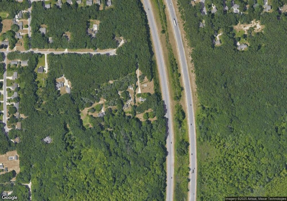
Map
Nearby Homes
- 1925 Shady Oak Dr
- 2060 N Roberts Rd
- 2021 Queens Ct
- 2026 N Port Blvd
- 787 E Giles Rd
- 764 E Giles Rd
- 0 N Getty St
- 0 Holton Vl Rd Unit 20027438
- 1960 Nielwood Dr
- 2551 Hiawatha Trail
- V/L Holton Rd
- 1353 Holton Rd
- 2624 Holton Rd
- 2635 E River Rd
- 129 Maple Ct
- 2337 Northwind Dr
- 102 Apple Ct
- V/L Reed Ave
- 1699 Sycamore Dr
- 1850 Mildred St