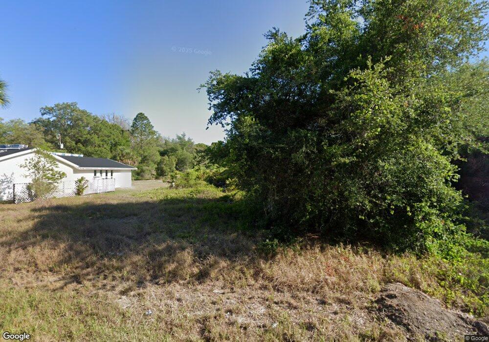
15570 Maynard Ave Port Charlotte, FL 33953
Northwest Port Charlotte NeighborhoodEstimated Value: $21,153 - $406,000
--
Bed
--
Bath
--
Sq Ft
10,019
Sq Ft Lot
About This Home
This home is located at 15570 Maynard Ave, Port Charlotte, FL 33953 and is currently estimated at $130,038. 15570 Maynard Ave is a home located in Charlotte County with nearby schools including Liberty Elementary School, Murdock Middle School, and Port Charlotte High School.
Ownership History
Date
Name
Owned For
Owner Type
Purchase Details
Closed on
Jun 6, 2017
Sold by
New Vista Properties Inc
Bought by
Jesus Domingues Amarildo De and Coelho Sonia M A
Current Estimated Value
Home Financials for this Owner
Home Financials are based on the most recent Mortgage that was taken out on this home.
Original Mortgage
$25,490
Outstanding Balance
$21,220
Interest Rate
4.05%
Mortgage Type
Purchase Money Mortgage
Estimated Equity
$108,818
Purchase Details
Closed on
May 19, 2004
Sold by
Hayes William G and Hayes Helga G
Bought by
New Vista Properties Inc
Create a Home Valuation Report for This Property
The Home Valuation Report is an in-depth analysis detailing your home's value as well as a comparison with similar homes in the area
Home Values in the Area
Average Home Value in this Area
Purchase History
| Date | Buyer | Sale Price | Title Company |
|---|---|---|---|
| Jesus Domingues Amarildo De | $27,000 | None Available | |
| New Vista Properties Inc | $8,000 | -- |
Source: Public Records
Mortgage History
| Date | Status | Borrower | Loan Amount |
|---|---|---|---|
| Open | Jesus Domingues Amarildo De | $25,490 |
Source: Public Records
Tax History Compared to Growth
Tax History
| Year | Tax Paid | Tax Assessment Tax Assessment Total Assessment is a certain percentage of the fair market value that is determined by local assessors to be the total taxable value of land and additions on the property. | Land | Improvement |
|---|---|---|---|---|
| 2023 | $461 | $4,752 | $0 | $0 |
| 2022 | $445 | $11,900 | $11,900 | $0 |
| 2021 | $392 | $3,995 | $3,995 | $0 |
| 2020 | $377 | $3,570 | $3,570 | $0 |
| 2019 | $375 | $3,570 | $3,570 | $0 |
| 2018 | $365 | $3,315 | $3,315 | $0 |
| 2017 | $361 | $3,196 | $3,196 | $0 |
| 2016 | $357 | $3,060 | $0 | $0 |
| 2015 | $353 | $2,788 | $0 | $0 |
| 2014 | $252 | $2,768 | $0 | $0 |
Source: Public Records
Map
Nearby Homes
- 15579 Maynard Ave
- 15507 Factory Ave
- 15499 Factory Ave
- 15498 Factory Ave
- 15531 Chamberlain Blvd
- 15530 Ravine Ave
- 756 Bowman Terrace
- 15579 Chamberlain Blvd
- 820 Bowman Terrace
- 15492 Chamberlain Blvd
- 883 Bowman Terrace
- 788 Bowman Terrace
- 336 Bowman Terrace
- 764 Bowman Terrace
- 907 Bowman Terrace
- 979 Bowman Terrace
- 15443 Buick Ave
- 16081 Old Fox Trail
- 16090 Highgate St
- 15451 Buick Ave
- 15523 Maynard Ave
- 15578 Maynard Ave
- 15539 Maynard Ave
- 15547 Maynard Ave
- 15530 Maynard Ave
- 15555 Maynard Ave
- 15562 Maynard Ave
- 15531 Gregus Ave
- 15538 Factory Ave
- 15514 Maynard Ave
- 15515 Maynard Ave
- 15523 Gregus Ave
- 15514 Factory Ave
- 15506 Factory Ave
- 15515 Gregus Ave
- 15507 Maynard Ave
- 15594 Maynard Ave
- 15538 & 15546 Gregus Ave
- 15531 Factory Ave
