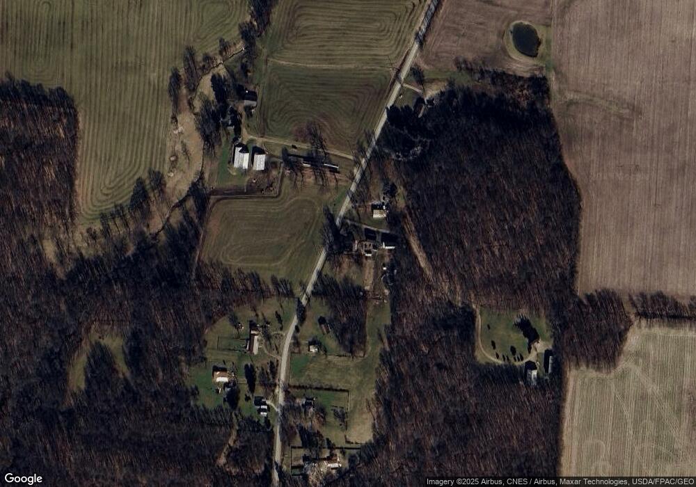
15572 Carson Rd Mount Vernon, OH 43050
Estimated Value: $250,000 - $356,000
3
Beds
2
Baths
2,195
Sq Ft
$131/Sq Ft
Est. Value
About This Home
This home is located at 15572 Carson Rd, Mount Vernon, OH 43050 and is currently estimated at $287,006, approximately $130 per square foot. 15572 Carson Rd is a home with nearby schools including Mount Vernon High School.
Ownership History
Date
Name
Owned For
Owner Type
Purchase Details
Closed on
Jun 16, 2000
Sold by
Lutwick Robert A and Lutwick Elizab
Bought by
Lutwick Elizabeth A
Current Estimated Value
Purchase Details
Closed on
Apr 11, 1997
Sold by
Harwell Harwell H H and Harwell Joette
Bought by
Lutwick Robert A and Lutwick Elizab
Purchase Details
Closed on
Jun 19, 1989
Sold by
Wilson Marilyn L
Bought by
Harwell Harwell H and Harwell Joette
Purchase Details
Closed on
Apr 13, 1989
Bought by
Wilson Marilyn L
Create a Home Valuation Report for This Property
The Home Valuation Report is an in-depth analysis detailing your home's value as well as a comparison with similar homes in the area
Home Values in the Area
Average Home Value in this Area
Purchase History
| Date | Buyer | Sale Price | Title Company |
|---|---|---|---|
| Lutwick Elizabeth A | -- | -- | |
| Lutwick Robert A | $53,000 | -- | |
| Harwell Harwell H | $30,000 | -- | |
| Wilson Marilyn L | $15,000 | -- |
Source: Public Records
Tax History Compared to Growth
Tax History
| Year | Tax Paid | Tax Assessment Tax Assessment Total Assessment is a certain percentage of the fair market value that is determined by local assessors to be the total taxable value of land and additions on the property. | Land | Improvement |
|---|---|---|---|---|
| 2024 | $2,272 | $62,950 | $18,230 | $44,720 |
| 2023 | $2,272 | $62,950 | $18,230 | $44,720 |
| 2022 | $1,610 | $43,410 | $12,570 | $30,840 |
| 2021 | $1,610 | $43,410 | $12,570 | $30,840 |
| 2020 | $1,571 | $43,410 | $12,570 | $30,840 |
| 2019 | $1,484 | $39,130 | $11,070 | $28,060 |
| 2018 | $1,485 | $39,130 | $11,070 | $28,060 |
| 2017 | $1,461 | $39,130 | $11,070 | $28,060 |
| 2016 | $1,330 | $36,230 | $10,250 | $25,980 |
| 2015 | $1,336 | $36,230 | $10,250 | $25,980 |
| 2014 | $1,342 | $36,230 | $10,250 | $25,980 |
| 2013 | $1,376 | $36,050 | $9,590 | $26,460 |
Source: Public Records
Map
Nearby Homes
- 0 N Liberty Rd
- 14702 Wooster Rd
- 14499 Wooster Rd
- 14914 N Liberty Rd
- 17970 Scott Rd
- 13999 Wooster Rd
- 15745 Lower Fredericktown Amity Rd
- 15770 Pleasant View Rd
- 14021 Gilchrist Rd
- 13618 Gilchrist Rd
- 0 Hyatt Rd
- 12627 Upper Gilchrist Rd
- 0 Crooked St
- 1737 Vernonview Dr
- 14021 Old Mansfield Rd
- 0 Divelbiss Rd
- 0
- 0 Crooked Street Land Split 2
- 0 Indian Hills Rd
