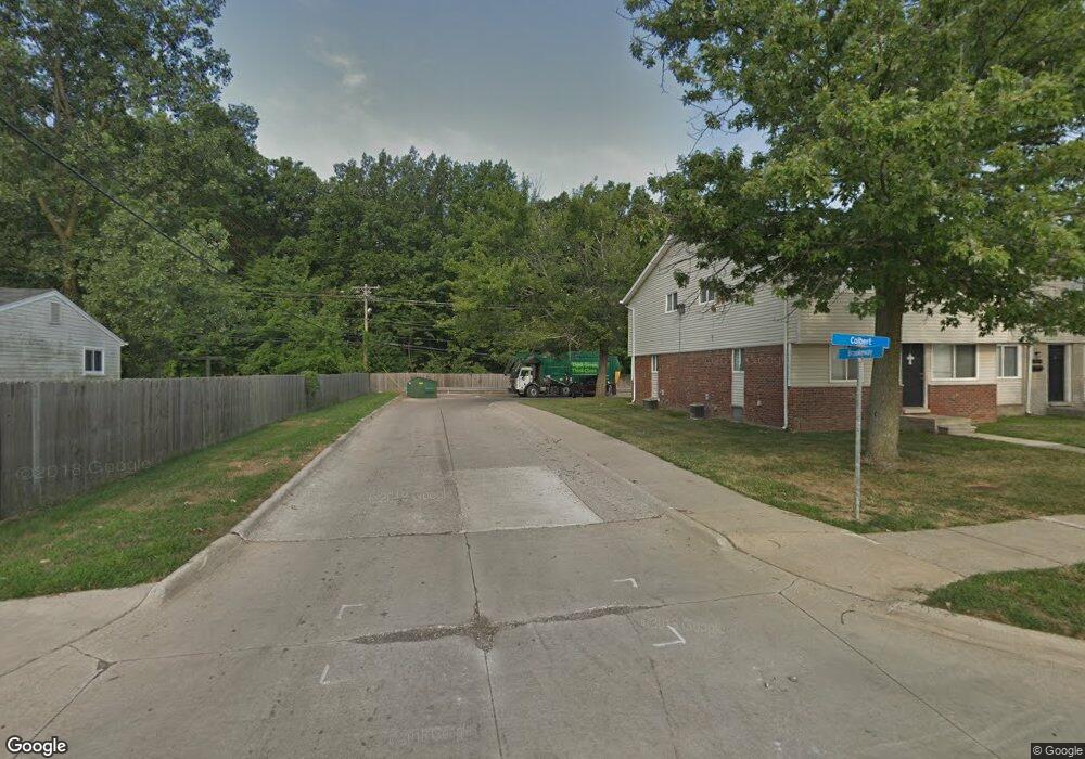
15574 Brook Way St Romulus, MI 48174
Estimated Value: $179,972 - $190,000
3
Beds
2
Baths
864
Sq Ft
$215/Sq Ft
Est. Value
About This Home
This home is located at 15574 Brook Way St, Romulus, MI 48174 and is currently estimated at $185,493, approximately $214 per square foot. 15574 Brook Way St is a home located in Wayne County with nearby schools including Halecreek Elementary School, Romulus Middle School, and Romulus Senior High School.
Ownership History
Date
Name
Owned For
Owner Type
Purchase Details
Closed on
Mar 24, 2017
Sold by
Beaudry Catherine C
Bought by
Dunn Thomas
Current Estimated Value
Purchase Details
Closed on
Mar 10, 2017
Sold by
Lopez Kelly A and Berens Kelly A
Bought by
Beaudry Catherine C
Purchase Details
Closed on
Apr 9, 2014
Sold by
Beaudry Catherine C and Lopez Kelly A
Bought by
Beaudry Catherine C
Purchase Details
Closed on
Feb 12, 2010
Sold by
Millennium Asset Management Llc
Bought by
Berens Kelly A and Beaudry Catherine C
Purchase Details
Closed on
Oct 22, 2009
Sold by
Us Bank National Association
Bought by
Us Bank National Association
Purchase Details
Closed on
Oct 23, 2008
Sold by
Davis Cook Anita
Bought by
Us Bank National Association
Purchase Details
Closed on
Oct 18, 2006
Sold by
Haines Gary Robert and Haines Carol A
Bought by
Davis Cook Anita
Create a Home Valuation Report for This Property
The Home Valuation Report is an in-depth analysis detailing your home's value as well as a comparison with similar homes in the area
Home Values in the Area
Average Home Value in this Area
Purchase History
| Date | Buyer | Sale Price | Title Company |
|---|---|---|---|
| Dunn Thomas | $50,000 | First American Title | |
| Beaudry Catherine C | -- | None Available | |
| Beaudry Catherine C | -- | None Available | |
| Berens Kelly A | $25,250 | Title One Inc | |
| Us Bank National Association | -- | None Available | |
| Us Bank National Association | $113,446 | None Available | |
| Davis Cook Anita | $135,000 | Multiple |
Source: Public Records
Tax History
| Year | Tax Paid | Tax Assessment Tax Assessment Total Assessment is a certain percentage of the fair market value that is determined by local assessors to be the total taxable value of land and additions on the property. | Land | Improvement |
|---|---|---|---|---|
| 2025 | $2,654 | $85,000 | $0 | $0 |
| 2024 | $2,636 | $78,700 | $0 | $0 |
| 2023 | $2,521 | $69,900 | $0 | $0 |
| 2022 | $2,808 | $64,100 | $0 | $0 |
| 2021 | $2,736 | $52,200 | $0 | $0 |
| 2020 | $2,679 | $51,500 | $0 | $0 |
| 2019 | $2,652 | $43,500 | $0 | $0 |
| 2018 | $1,942 | $33,900 | $0 | $0 |
| 2017 | $877 | $33,400 | $0 | $0 |
| 2016 | $2,309 | $35,000 | $0 | $0 |
| 2015 | $3,380 | $33,800 | $0 | $0 |
| 2013 | $3,350 | $36,400 | $0 | $0 |
| 2012 | $1,396 | $36,600 | $5,000 | $31,600 |
Source: Public Records
Map
Nearby Homes
- 15520 Brandt St
- 15521 Brandt St
- 30455 Cherry Ave
- 30771 Halecreek St
- 30058 Halecreek St
- 15900 Sandburg St
- 15715 Merriman Rd
- 16068 Middlebelt Rd
- 16110 Farnum St
- 00 Eureka Rd
- 30620 Pennsylvania Rd
- 30930 Pennsylvania Rd Unit 8
- 00000 Pennsylvania Rd
- 15654 Isabelle St
- Lot 106 Hollywood
- Lot 107 Hollywood
- 00000 Huron
- 0 Hannan-Huro River Dr Unit 20261004710
- 16295 Vining Rd
- 0 Telegraph Rd Unit 20221042429
- 15560 Brandt St
- 15588 Brandt St
- 15702 Brandt St
- 15548 Brandt St
- 15573 Oakbrook St Unit Bldg-Unit
- 15573 Oakbrook St
- 15587 Oakbrook St
- 15559 Oakbrook St
- 15547 Oakbrook St
- 15701 Oakbrook St
- 15714 Brandt St
- 15534 Brandt St
- 15561 Brandt St
- 15575 Brandt St
- 15711 Oakbrook St
- 15533 Oakbrook St
- 15589 Brandt St
- 15703 Brandt St
- 15726 Brandt St
- 15549 Brandt St
Your Personal Tour Guide
Ask me questions while you tour the home.