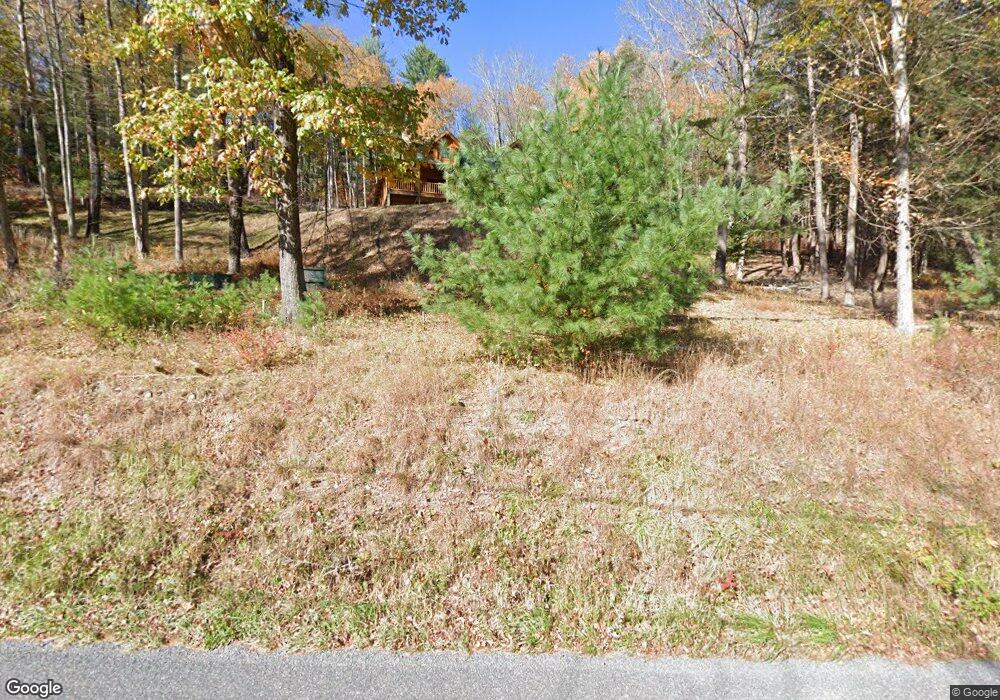
15585 Route 414 Hwy Cedar Run, PA 17727
Estimated Value: $358,000 - $715,000
2
Beds
3
Baths
1,490
Sq Ft
$359/Sq Ft
Est. Value
About This Home
This home is located at 15585 Route 414 Hwy, Cedar Run, PA 17727 and is currently estimated at $534,329, approximately $358 per square foot. 15585 Route 414 Hwy is a home with nearby schools including Jersey Shore Area Senior High School.
Ownership History
Date
Name
Owned For
Owner Type
Purchase Details
Closed on
Jul 22, 2019
Sold by
Fair Shelia M
Bought by
Oberg Stephen Andrew and Oberg Julianne Abadie
Current Estimated Value
Home Financials for this Owner
Home Financials are based on the most recent Mortgage that was taken out on this home.
Original Mortgage
$300,000
Outstanding Balance
$262,827
Interest Rate
3.82%
Mortgage Type
New Conventional
Estimated Equity
$271,502
Purchase Details
Closed on
Dec 17, 1982
Bought by
Fair Kenneth R and Fair Sheila M
Create a Home Valuation Report for This Property
The Home Valuation Report is an in-depth analysis detailing your home's value as well as a comparison with similar homes in the area
Home Values in the Area
Average Home Value in this Area
Purchase History
| Date | Buyer | Sale Price | Title Company |
|---|---|---|---|
| Oberg Stephen Andrew | $450,000 | None Available | |
| Fair Kenneth R | $3,000 | -- |
Source: Public Records
Mortgage History
| Date | Status | Borrower | Loan Amount |
|---|---|---|---|
| Open | Oberg Stephen Andrew | $300,000 |
Source: Public Records
Tax History Compared to Growth
Tax History
| Year | Tax Paid | Tax Assessment Tax Assessment Total Assessment is a certain percentage of the fair market value that is determined by local assessors to be the total taxable value of land and additions on the property. | Land | Improvement |
|---|---|---|---|---|
| 2025 | $4,099 | $154,870 | $31,210 | $123,660 |
| 2024 | $4,048 | $154,870 | $31,210 | $123,660 |
| 2023 | $4,047 | $154,870 | $31,210 | $123,660 |
| 2022 | $4,026 | $154,870 | $31,210 | $123,660 |
| 2021 | $4,037 | $154,870 | $31,210 | $123,660 |
| 2020 | $4,033 | $154,870 | $31,210 | $123,660 |
| 2019 | $3,949 | $154,870 | $31,210 | $123,660 |
| 2018 | $3,891 | $154,870 | $31,210 | $123,660 |
| 2017 | $3,682 | $154,869 | $31,210 | $123,659 |
| 2016 | $3,571 | $154,870 | $31,210 | $123,660 |
| 2015 | $3,571 | $154,870 | $31,210 | $123,660 |
Source: Public Records
Map
Nearby Homes
- 000 Pennsylvania 44
- 32600 Pa-44
- PARCEL 100 Ross Run Ln
- 382 Mill Run Rd
- 17798 Pennsylvania 44
- 111 School House Ln
- 17776 N State Route 44
- 173 Grasso Ln
- 118 Jonnie R Rd
- 23 Grasso Ln
- 11658 Little Pine Creek Rd
- 1 Fawn Dr
- 20 Heverly Rd
- 80 Yonkin Ln
- 836 Burton Hill Rd
- 1068 Ridge Rd
- 207 Baker Rd
- 0 Pennsylvania 287
- 19 Hughes Rd
- 10641 N Route 44 Hwy
- 15548 State Route 414
- 15488 Route 414 Hwy
- 15620 Route 414 Hwy
- 15654 Route 414 Hwy
- 15613 State Route 414
- 15404 Route 414 Hwy
- 15710 Route 414 Hwy
- 0 Rte 414 Hwy
- 15740 Route 414 Hwy
- 15721 Route 414 Hwy
- 124 Fern Ln
- 107 Fern Ln
- 15758 Route 414 Hwy
- 81 Fern Ln
- 61 Fern Ln
- 15186 Route 414 Hwy
- 15820 Route 414 Hwy
- 15863 State Route 414
- 15898 Route 414 Hwy
- 15157 Route 414 Hwy
