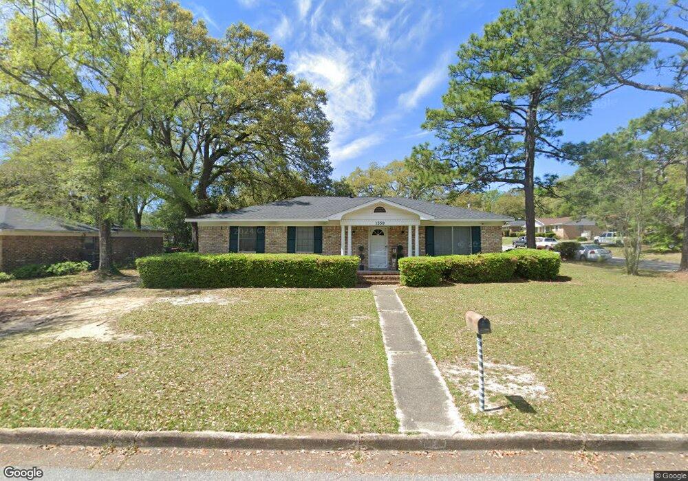
1559 Chesterfield Dr E Mobile, AL 36618
Beau Terra NeighborhoodEstimated Value: $126,000 - $186,000
3
Beds
2
Baths
1,472
Sq Ft
$106/Sq Ft
Est. Value
About This Home
This home is located at 1559 Chesterfield Dr E, Mobile, AL 36618 and is currently estimated at $155,543, approximately $105 per square foot. 1559 Chesterfield Dr E is a home located in Mobile County with nearby schools including Forest Hill Elementary School, CL Scarborough Middle School, and Mattie T Blount High School.
Ownership History
Date
Name
Owned For
Owner Type
Purchase Details
Closed on
Oct 8, 2009
Sold by
Crenshaw Edward Joseph and Crenshaw Henry
Bought by
Mcmillian Allen B and Mcmillian Tunisia D
Current Estimated Value
Home Financials for this Owner
Home Financials are based on the most recent Mortgage that was taken out on this home.
Original Mortgage
$105,061
Outstanding Balance
$68,498
Interest Rate
5.05%
Mortgage Type
FHA
Estimated Equity
$87,045
Purchase Details
Closed on
Mar 3, 2008
Sold by
Crenshaw Edward Joseph
Bought by
Crenshaw Edward Joseph and Crenshaw Henry
Create a Home Valuation Report for This Property
The Home Valuation Report is an in-depth analysis detailing your home's value as well as a comparison with similar homes in the area
Home Values in the Area
Average Home Value in this Area
Purchase History
| Date | Buyer | Sale Price | Title Company |
|---|---|---|---|
| Mcmillian Allen B | $107,000 | None Available | |
| Crenshaw Edward Joseph | -- | None Available |
Source: Public Records
Mortgage History
| Date | Status | Borrower | Loan Amount |
|---|---|---|---|
| Open | Mcmillian Allen B | $105,061 |
Source: Public Records
Tax History Compared to Growth
Tax History
| Year | Tax Paid | Tax Assessment Tax Assessment Total Assessment is a certain percentage of the fair market value that is determined by local assessors to be the total taxable value of land and additions on the property. | Land | Improvement |
|---|---|---|---|---|
| 2024 | $625 | $11,490 | $2,000 | $9,490 |
| 2023 | $495 | $9,220 | $2,000 | $7,220 |
| 2022 | $449 | $8,600 | $2,000 | $6,600 |
| 2021 | $449 | $8,600 | $2,000 | $6,600 |
| 2020 | $273 | $8,600 | $2,000 | $6,600 |
| 2019 | $276 | $8,700 | $2,000 | $6,700 |
| 2018 | $260 | $8,200 | $0 | $0 |
| 2017 | $500 | $15,740 | $0 | $0 |
| 2016 | $1,006 | $15,840 | $0 | $0 |
| 2013 | -- | $15,160 | $0 | $0 |
Source: Public Records
Map
Nearby Homes
- 1325 Carre Dr W
- 4409 Moffett Rd
- 4409 Eastview Dr
- 1758 La Pine Dr
- 1553 Phillips Ln
- 1417 Pringle Dr
- 1617 Phillips Ln
- 1557 Phillips Ln
- 1800 La Pine Dr
- 4054 Pringle Dr
- 1413 Pine Grove Ave
- 1510 Northview Dr
- 1204 Forest Dell Rd
- 1113 Carre Dr W
- 4636 Saint Charles Ct
- 1809 Harris Rd
- 1116 Bristol Ct
- 4108 Chambord Ln
- 4020 Baker Rd
- 1166 Harvard Dr
- 1555 Chesterfield Dr E
- 4205 Parliament Ave
- 4200 Parliament Ave
- 4162 Bristol Ave
- 1551 Chesterfield Dr E
- 4209 Parliament Ave
- 4204 Parliament Ave
- 4204 Buckingham Ave
- 1600 Chesterfield Dr E
- 1532 Chesterfield Dr E
- 4208 Buckingham Ave
- 4208 Parliament Ave
- 1605 Chesterfield Dr E
- 1604 Chesterfield Dr E
- 4213 Parliament Ave
- 1528 Chesterfield Dr E
- 4212 Buckingham Ave
- 4201 Chesterfield Dr N
- 4212 Parliament Ave
- 4201 Buckingham Ave