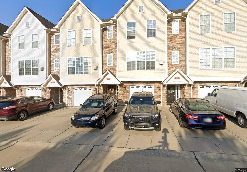
1559 Don Martin Dr Unit 5 Covington, KY 41011
Estimated Value: $252,000 - $330,370
2
Beds
3
Baths
1,842
Sq Ft
$154/Sq Ft
Est. Value
About This Home
This home is located at 1559 Don Martin Dr Unit 5, Covington, KY 41011 and is currently estimated at $284,343, approximately $154 per square foot. 1559 Don Martin Dr Unit 5 is a home located in Kenton County with nearby schools including Fort Wright Elementary School, Turkey Foot Middle School, and Dixie Heights High School.
Ownership History
Date
Name
Owned For
Owner Type
Purchase Details
Closed on
Apr 3, 2019
Sold by
Hauer Cynthia J
Bought by
Leber David J and Leber Beth A
Current Estimated Value
Purchase Details
Closed on
Dec 27, 2012
Sold by
Wright Reese Carlisle Llc
Bought by
The Devou Lofts Homeowners Association I
Purchase Details
Closed on
Sep 29, 2004
Sold by
Wright Reese Carlisle Llc
Bought by
Hauer Cynthia J
Home Financials for this Owner
Home Financials are based on the most recent Mortgage that was taken out on this home.
Original Mortgage
$138,550
Interest Rate
5.73%
Mortgage Type
Purchase Money Mortgage
Create a Home Valuation Report for This Property
The Home Valuation Report is an in-depth analysis detailing your home's value as well as a comparison with similar homes in the area
Home Values in the Area
Average Home Value in this Area
Purchase History
| Date | Buyer | Sale Price | Title Company |
|---|---|---|---|
| Leber David J | $167,000 | Kentucky Land Title Agency | |
| The Devou Lofts Homeowners Association I | -- | None Available | |
| Hauer Cynthia J | $173,200 | Fidelity Land Title Agency O |
Source: Public Records
Mortgage History
| Date | Status | Borrower | Loan Amount |
|---|---|---|---|
| Previous Owner | Hauer Cynthia J | $138,550 |
Source: Public Records
Tax History Compared to Growth
Tax History
| Year | Tax Paid | Tax Assessment Tax Assessment Total Assessment is a certain percentage of the fair market value that is determined by local assessors to be the total taxable value of land and additions on the property. | Land | Improvement |
|---|---|---|---|---|
| 2024 | $2,167 | $211,400 | $20,000 | $191,400 |
| 2023 | $1,780 | $167,000 | $10,000 | $157,000 |
| 2022 | $1,862 | $167,000 | $10,000 | $157,000 |
| 2021 | $1,901 | $167,000 | $10,000 | $157,000 |
| 2020 | $1,920 | $167,000 | $10,000 | $157,000 |
| 2019 | $1,995 | $173,200 | $10,000 | $163,200 |
| 2018 | $2,001 | $173,200 | $10,000 | $163,200 |
| 2017 | $1,945 | $173,200 | $10,000 | $163,200 |
| 2015 | $1,879 | $173,200 | $10,000 | $163,200 |
| 2014 | $1,848 | $173,200 | $10,000 | $163,200 |
Source: Public Records
Map
Nearby Homes
- 1713 Fort Henry Dr
- 1715 Fort Henry Dr
- 1660 Amsterdam Rd
- 1316 Old State Rd
- 1753 Stony Point
- 832 Aberdeen Rd
- 1907 Fortside Cir
- 1760 Montague Rd
- 1504 Dixie Hwy
- 1053 Montague Rd
- 373 Southwind Ln Unit 28304
- 1041 Hamilton Rd
- 603 St Joseph Ln
- 1133 Cecelia Ave
- Breton Plan at Park Pointe - Luxury Series
- Riviera Plan at Park Pointe - Luxury Series
- Meridian Plan at Park Pointe - Signature Series
- Addington Plan at Park Pointe - Luxury Series
- Shaker Run Plan at Park Pointe - Signature Series
- Woodhall Plan at Park Pointe - Luxury Series
- 1561 Don Martin Dr Unit 16
- 1557 Don Martin Dr Unit 4
- 1563 Don Martin Dr Unit 7
- 1563 Don Martin Dr Unit 1563
- 1555 Don Martin Dr
- 1555 Don Martin Dr Unit 3
- 1553 Don Martin Dr Unit 2
- 1565 Don Martin Dr Unit 8
- 6 Don Martin
- 8 Don Martin
- 2 Don Martin
- 3 Don Martin
- 1 Don Martin
- 4 Don Martin
- 7 Don Martin
- 5 Don Martin
- 1551 Don Martin Dr Unit 1
- 200 Lookout Heights Ln
- 202 Lookout Heights Ln
- 202 Lookout Heights Ln Unit 10