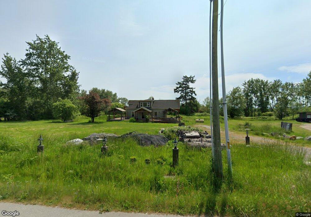
1559 Gulf Rd Point Roberts, WA 98281
Estimated Value: $491,988
2
Beds
2
Baths
1,740
Sq Ft
$283/Sq Ft
Est. Value
About This Home
This home is located at 1559 Gulf Rd, Point Roberts, WA 98281 and is currently estimated at $491,988, approximately $282 per square foot. 1559 Gulf Rd is a home located in Whatcom County with nearby schools including Point Roberts Primary School, Blaine Middle School, and Blaine High School.
Ownership History
Date
Name
Owned For
Owner Type
Purchase Details
Closed on
May 15, 2015
Sold by
Point Roberts Chevron Llc
Bought by
Point Roberts Chevron Llc
Current Estimated Value
Purchase Details
Closed on
Aug 5, 2014
Sold by
Boulos Marco and Boulos Marie
Bought by
Point Roberts Chevron Llc
Home Financials for this Owner
Home Financials are based on the most recent Mortgage that was taken out on this home.
Original Mortgage
$160,000
Interest Rate
4.11%
Mortgage Type
Seller Take Back
Create a Home Valuation Report for This Property
The Home Valuation Report is an in-depth analysis detailing your home's value as well as a comparison with similar homes in the area
Home Values in the Area
Average Home Value in this Area
Purchase History
| Date | Buyer | Sale Price | Title Company |
|---|---|---|---|
| Point Roberts Chevron Llc | -- | None Available | |
| Point Roberts Chevron Llc | $200,000 | Whatcom Land Title |
Source: Public Records
Mortgage History
| Date | Status | Borrower | Loan Amount |
|---|---|---|---|
| Closed | Point Roberts Chevron Llc | $160,000 |
Source: Public Records
Tax History Compared to Growth
Tax History
| Year | Tax Paid | Tax Assessment Tax Assessment Total Assessment is a certain percentage of the fair market value that is determined by local assessors to be the total taxable value of land and additions on the property. | Land | Improvement |
|---|---|---|---|---|
| 2024 | $2,725 | $350,817 | $155,984 | $194,833 |
| 2023 | $2,725 | $327,866 | $145,779 | $182,087 |
| 2022 | $2,710 | $327,866 | $145,779 | $182,087 |
| 2021 | $2,898 | $271,437 | $104,128 | $167,309 |
| 2020 | $2,996 | $271,437 | $104,128 | $167,309 |
| 2019 | $3,062 | $271,437 | $104,128 | $167,309 |
| 2018 | $3,120 | $271,437 | $104,128 | $167,309 |
| 2017 | $2,758 | $271,437 | $104,128 | $167,309 |
| 2016 | $974 | $271,437 | $104,128 | $167,309 |
| 2015 | -- | $91,945 | $91,945 | $0 |
| 2014 | -- | $97,901 | $97,901 | $0 |
| 2013 | -- | $108,900 | $108,900 | $0 |
Source: Public Records
Map
Nearby Homes
- 1542 Columbia Vista Dr
- 1438 Gulf Rd
- 158 Tyee Dr
- 168 Tyee Dr
- 1379 Gulf Rd
- 230 Iris Blvd
- 19 Harbor Seal Dr
- 1587 Harbor Seal Dr
- 1561 Ocean View Ln
- 1361 Peltier Dr
- 8 Heather Way
- Lot 3 Edwards Dr
- 1927 Orcas View Way
- 581 Marine Dr
- 11 Lot Rex St
- 1561 Edwards Dr
- 2 Benson Rd
- Lot #8 Marine Dr
- 585 Marine Dr
- 1920 Patos Way