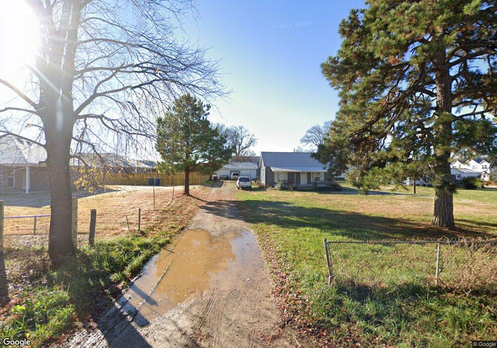
1559 Hazelton Rd Pea Ridge, AR 72751
Estimated Value: $207,631 - $272,000
--
Bed
--
Bath
1,240
Sq Ft
$194/Sq Ft
Est. Value
About This Home
This home is located at 1559 Hazelton Rd, Pea Ridge, AR 72751 and is currently estimated at $240,908, approximately $194 per square foot. 1559 Hazelton Rd is a home with nearby schools including Pea Ridge Primary School, Pea Ridge Intermediate School, and Pea Ridge Middle School.
Ownership History
Date
Name
Owned For
Owner Type
Purchase Details
Closed on
Sep 20, 2021
Sold by
Pinto Frank
Bought by
Wilson Jtym
Current Estimated Value
Home Financials for this Owner
Home Financials are based on the most recent Mortgage that was taken out on this home.
Original Mortgage
$177,323
Outstanding Balance
$161,351
Interest Rate
2.8%
Mortgage Type
New Conventional
Estimated Equity
$79,557
Purchase Details
Closed on
Mar 25, 1998
Bought by
Pinto F
Purchase Details
Closed on
Oct 23, 1992
Bought by
Pinto
Purchase Details
Closed on
Jan 14, 1991
Bought by
Dod 01-14-1991
Create a Home Valuation Report for This Property
The Home Valuation Report is an in-depth analysis detailing your home's value as well as a comparison with similar homes in the area
Home Values in the Area
Average Home Value in this Area
Purchase History
| Date | Buyer | Sale Price | Title Company |
|---|---|---|---|
| Wilson Jtym | $175,000 | City Title & Closing | |
| Pinto F | -- | -- | |
| Pinto | $57,000 | -- | |
| Dod 01-14-1991 | -- | -- |
Source: Public Records
Mortgage History
| Date | Status | Borrower | Loan Amount |
|---|---|---|---|
| Open | Wilson Jtym | $177,323 |
Source: Public Records
Tax History Compared to Growth
Tax History
| Year | Tax Paid | Tax Assessment Tax Assessment Total Assessment is a certain percentage of the fair market value that is determined by local assessors to be the total taxable value of land and additions on the property. | Land | Improvement |
|---|---|---|---|---|
| 2025 | $1,121 | $31,145 | $10,000 | $21,145 |
| 2024 | $1,098 | $31,145 | $10,000 | $21,145 |
| 2023 | $1,045 | $18,370 | $1,900 | $16,470 |
| 2022 | $1,091 | $18,370 | $1,900 | $16,470 |
| 2021 | $889 | $18,370 | $1,900 | $16,470 |
| 2020 | $1,949 | $32,060 | $13,480 | $18,580 |
| 2019 | $1,949 | $32,060 | $13,480 | $18,580 |
| 2018 | $1,949 | $32,060 | $13,480 | $18,580 |
| 2017 | $1,598 | $32,060 | $13,480 | $18,580 |
| 2016 | $1,598 | $32,060 | $13,480 | $18,580 |
| 2015 | $1,440 | $25,310 | $10,180 | $15,130 |
| 2014 | $1,440 | $25,310 | $10,180 | $15,130 |
Source: Public Records
Map
Nearby Homes
- 1713 Farmer St
- 1804 Edwards St
- 1317 Bunker Dr
- 1101 Tracey Ln
- 2071 Fields Cove
- 2111 Hunter Dr
- 1804 Gaines St
- 1718 Farmer St
- 1716 Farmer St
- 1714 Farmer St
- 1722 Farmer St
- 1720 Farmer St
- 0 Slack & Crawford Streets Unit 1303599
- 1717 Farmer St
- 1719 Farmer St
- 1721 Farmer St
- 1723 Farmer St
- 208 Wilson Blvd
- 14541 It'Ll Do Rd
- 200 Wilson Blvd
- 1536 Lowery St
- 1600 Lowery St
- 1548 Lowery St
- 837 Robinson St
- 825 Robinson St
- 1563 Hazelton Rd
- 1563 Hazelton Rd
- 700 Birdmaster Dr
- 1513 Tracey Rd
- 836 Robinson St
- 824 Robinson St
- 1501 Tracey Rd
- 1613 Tracey Rd
- 840 Birdmaster Dr
- 612 Wright Ln
- TBD Hazelton Rd
- 800 Robinson St
- 912 Cook St
- 725 Robinson St
- 1625 Tracey Rd