1559 Highpoint Cir Black Hawk, CO 80422
Estimated Value: $761,000 - $974,000
3
Beds
3
Baths
3,560
Sq Ft
$237/Sq Ft
Est. Value
About This Home
This home is located at 1559 Highpoint Cir, Black Hawk, CO 80422 and is currently estimated at $843,248, approximately $236 per square foot. 1559 Highpoint Cir is a home with nearby schools including Gilpin County Elementary School and Gilpin County Undivided High School.
Ownership History
Date
Name
Owned For
Owner Type
Purchase Details
Closed on
May 1, 2020
Sold by
Oatman Robert C and Oatman Norma L
Bought by
Oatman Robert C and Oatman Norma L
Current Estimated Value
Purchase Details
Closed on
Apr 9, 2019
Sold by
Walinder Oatman Robert C and Walinder Oatman Norma L
Bought by
Walinder Oatman Robert C and Walinder Oatman Normal
Home Financials for this Owner
Home Financials are based on the most recent Mortgage that was taken out on this home.
Original Mortgage
$750,000
Interest Rate
4.3%
Mortgage Type
Reverse Mortgage Home Equity Conversion Mortgage
Purchase Details
Closed on
Aug 28, 2018
Sold by
Oatman Robert C
Bought by
Oatman Robert C
Purchase Details
Closed on
Jan 25, 2013
Sold by
Oatman Robert C
Bought by
Walinder Oatman Robert C and Walinder Oatman Norma L
Create a Home Valuation Report for This Property
The Home Valuation Report is an in-depth analysis detailing your home's value as well as a comparison with similar homes in the area
Purchase History
| Date | Buyer | Sale Price | Title Company |
|---|---|---|---|
| Oatman Robert C | -- | None Available | |
| Walinder Oatman Robert C | -- | Fnc Title Services Llc | |
| Oatman Robert C | -- | None Available | |
| Walinder Oatman Robert C | -- | None Available |
Source: Public Records
Mortgage History
| Date | Status | Borrower | Loan Amount |
|---|---|---|---|
| Closed | Walinder Oatman Robert C | $750,000 |
Source: Public Records
Tax History
| Year | Tax Paid | Tax Assessment Tax Assessment Total Assessment is a certain percentage of the fair market value that is determined by local assessors to be the total taxable value of land and additions on the property. | Land | Improvement |
|---|---|---|---|---|
| 2024 | $1,327 | $49,860 | $4,240 | $45,620 |
| 2023 | $1,212 | $49,860 | $4,240 | $45,620 |
| 2022 | $1,064 | $41,410 | $2,920 | $38,490 |
Source: Public Records
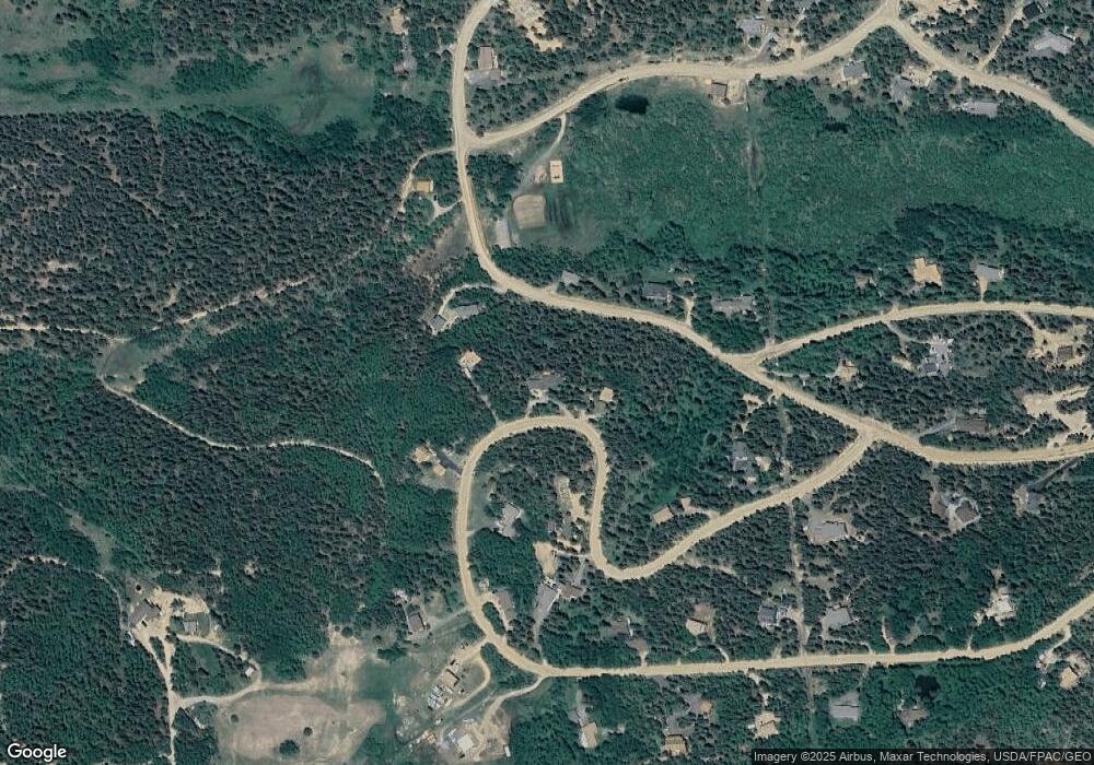
Map
Nearby Homes
- 163 N Dory Lakes Dr
- 83 Peak View Dr
- 001 Peak View Dr Unit R011880
- 0 Golden Gate Canyon Rd
- 634 N Dory Lakes Dr
- 0 Caesar Rd
- 265 Caesar Rd
- 304 Timber Dr
- 798 S Dory Lakes Dr
- 2979 Coyote Cir
- 220 Timber Rd
- 001 Hughesville Rd
- 760 Coyote Cir
- 2169 Dory Hill Rd
- 50 Rudolph Ranch Rd
- 1641 Karlann Dr
- 94 Crest View Dr
- 121 Aurora Rd
- 0 Long Trail Rd
- 231 Elk Place
- 1583 Highpoint Cir
- 1505 Highpoint Cir
- 1602 Highpoint Cir
- 78 S Dory Lakes Dr
- 95 S Dory Lakes Dr
- 1456 Highpoint Cir
- 145 S Dory Lakes Dr
- 1467 Highpoint Cir
- 1751 Highpoint Cir
- 193 S Dory Lakes Dr
- 1424 Highpoint Cir
- 13 S Dory Lakes Dr
- 0 Highpoint Cir
- 1632 Highpoint Cir
- 1777 Highpoint Cir
- 20 Highpoint Cir
- 32 S Dory Lakes Dr
- 14 S Dory Lakes Dr
- 1334 Highpoint Cir
- 1332 Highpoint Cir
Your Personal Tour Guide
Ask me questions while you tour the home.