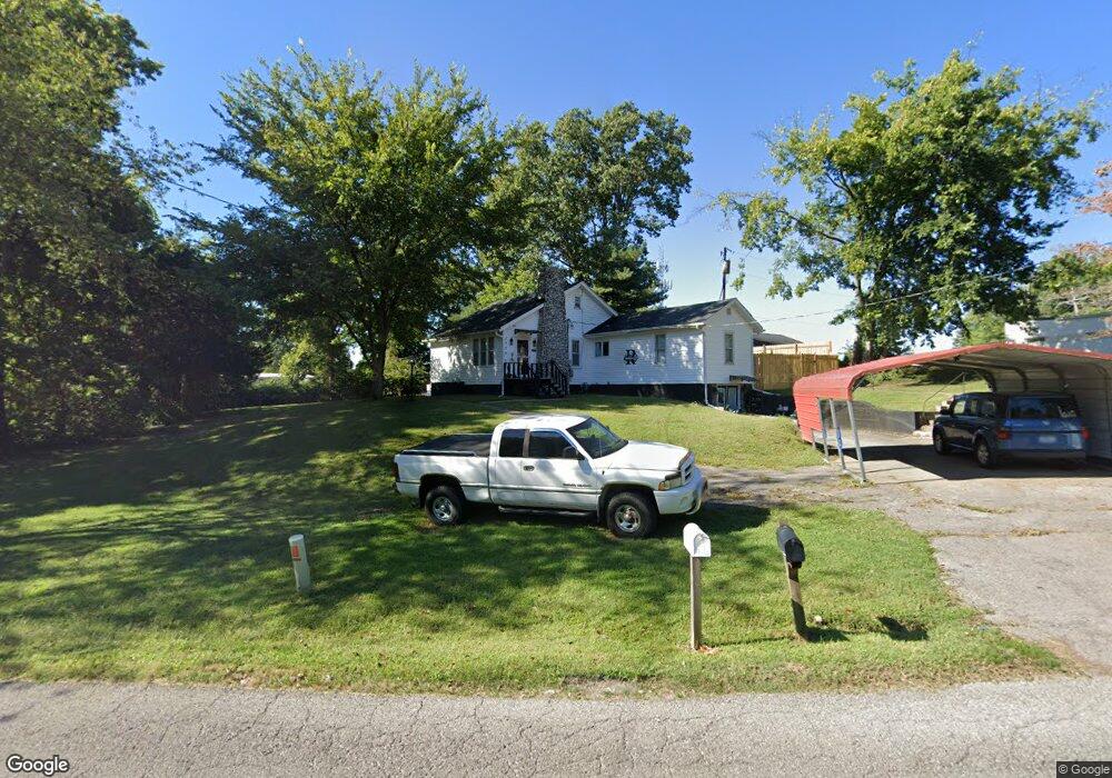
1559 Kingsway Dr Cape Girardeau, MO 63701
Estimated Value: $164,438 - $200,000
3
Beds
1
Bath
1,048
Sq Ft
$177/Sq Ft
Est. Value
About This Home
This home is located at 1559 Kingsway Dr, Cape Girardeau, MO 63701 and is currently estimated at $185,110, approximately $176 per square foot. 1559 Kingsway Dr is a home with nearby schools including Alma Schrader Elementary School, Central Middle School, and Central Junior High School.
Ownership History
Date
Name
Owned For
Owner Type
Purchase Details
Closed on
Jul 15, 2005
Sold by
Buchanan Family Trust
Bought by
Richardson Joe W and Richardson Laura S
Current Estimated Value
Home Financials for this Owner
Home Financials are based on the most recent Mortgage that was taken out on this home.
Original Mortgage
$94,500
Outstanding Balance
$49,075
Interest Rate
5.58%
Mortgage Type
New Conventional
Estimated Equity
$136,035
Create a Home Valuation Report for This Property
The Home Valuation Report is an in-depth analysis detailing your home's value as well as a comparison with similar homes in the area
Home Values in the Area
Average Home Value in this Area
Purchase History
| Date | Buyer | Sale Price | Title Company |
|---|---|---|---|
| Richardson Joe W | -- | None Available |
Source: Public Records
Mortgage History
| Date | Status | Borrower | Loan Amount |
|---|---|---|---|
| Open | Richardson Joe W | $94,500 |
Source: Public Records
Tax History Compared to Growth
Tax History
| Year | Tax Paid | Tax Assessment Tax Assessment Total Assessment is a certain percentage of the fair market value that is determined by local assessors to be the total taxable value of land and additions on the property. | Land | Improvement |
|---|---|---|---|---|
| 2025 | $7 | $14,890 | $3,090 | $11,800 |
| 2024 | $7 | $14,190 | $2,950 | $11,240 |
| 2023 | $738 | $14,190 | $2,950 | $11,240 |
| 2022 | $680 | $13,080 | $2,720 | $10,360 |
| 2021 | $680 | $13,080 | $2,720 | $10,360 |
| 2020 | $682 | $13,080 | $2,720 | $10,360 |
| 2019 | $681 | $13,070 | $0 | $0 |
| 2018 | $679 | $13,070 | $0 | $0 |
| 2017 | $681 | $13,070 | $0 | $0 |
| 2016 | $678 | $13,070 | $0 | $0 |
| 2015 | $679 | $13,070 | $0 | $0 |
| 2014 | $682 | $13,070 | $0 | $0 |
Source: Public Records
Map
Nearby Homes
- 3002 Melrose Ave
- 1705 Paul Revere Dr
- 1246 Marilyn Dr
- 1107 Dorothy St
- 2550 Marvin St
- 1070 Dorothy St
- 835 Lochinvar Ln
- 2412 Masters Dr
- 2449 Janet Dr
- 1000 N Mount Auburn Rd
- 3022 Beavercreek Dr
- 3036 Keystone Dr
- 1701 Brookwood Dr
- 2137 Wood Hollow Ct
- 3014 Keystone Dr
- 3046 Beavercreek Dr
- 3269 Hopper Rd
- 1966 Randol Ave
- 2629 Hopper Rd
- 1938 Westwood Dr
- 1432 Kurre Ln
- 1511 Kingsbury St
- 1564 Kingsway Dr
- 1506 Kurre Ln
- 1515 Kingsbury St
- 1610 Kingsway Dr
- 1512 Kingsbury Rd
- 1508 Kingsbury St
- 1519 Kingsbury St
- 1512 Kurre Ln
- 1617 Kingsway Dr
- 1516 Kingsbury St
- 1523 Kingsbury St
- 1515 Kurre Ln
- 1520 Kingsbury St
- 1509 E Riverside Dr
- 1501 E Riverside Dr
- 1606 N Kingshighway St
- 1618 Kingsway Dr