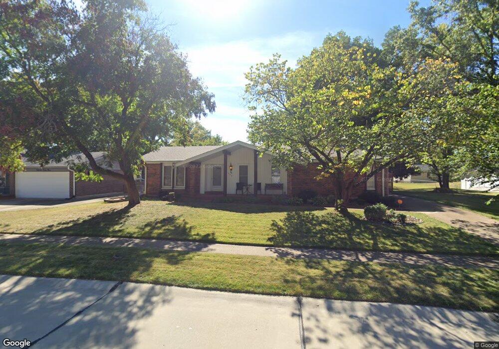
1559 Matlock Dr Florissant, MO 63031
Estimated Value: $224,000 - $249,000
3
Beds
2
Baths
1,853
Sq Ft
$126/Sq Ft
Est. Value
About This Home
This home is located at 1559 Matlock Dr, Florissant, MO 63031 and is currently estimated at $233,000, approximately $125 per square foot. 1559 Matlock Dr is a home located in St. Louis County with nearby schools including North Middle School, Hazelwood Central High School, and Oak Bridge.
Ownership History
Date
Name
Owned For
Owner Type
Purchase Details
Closed on
Oct 5, 2010
Sold by
Eagleton Anna L
Bought by
Weddington Jeffrey B
Current Estimated Value
Home Financials for this Owner
Home Financials are based on the most recent Mortgage that was taken out on this home.
Original Mortgage
$115,440
Outstanding Balance
$80,505
Interest Rate
5.5%
Mortgage Type
FHA
Estimated Equity
$152,495
Create a Home Valuation Report for This Property
The Home Valuation Report is an in-depth analysis detailing your home's value as well as a comparison with similar homes in the area
Home Values in the Area
Average Home Value in this Area
Purchase History
| Date | Buyer | Sale Price | Title Company |
|---|---|---|---|
| Weddington Jeffrey B | $117,000 | None Available |
Source: Public Records
Mortgage History
| Date | Status | Borrower | Loan Amount |
|---|---|---|---|
| Open | Weddington Jeffrey B | $115,440 |
Source: Public Records
Tax History Compared to Growth
Tax History
| Year | Tax Paid | Tax Assessment Tax Assessment Total Assessment is a certain percentage of the fair market value that is determined by local assessors to be the total taxable value of land and additions on the property. | Land | Improvement |
|---|---|---|---|---|
| 2025 | $3,314 | $41,690 | $6,750 | $34,940 |
| 2024 | $3,314 | $38,000 | $2,700 | $35,300 |
| 2023 | $3,310 | $38,000 | $2,700 | $35,300 |
| 2022 | $2,990 | $30,570 | $4,390 | $26,180 |
| 2021 | $2,947 | $30,570 | $4,390 | $26,180 |
| 2020 | $2,640 | $25,470 | $6,750 | $18,720 |
| 2019 | $2,600 | $25,470 | $6,750 | $18,720 |
| 2018 | $2,412 | $21,720 | $2,150 | $19,570 |
| 2017 | $2,409 | $21,720 | $2,150 | $19,570 |
| 2016 | $2,632 | $23,430 | $2,530 | $20,900 |
| 2015 | $2,576 | $23,430 | $2,530 | $20,900 |
| 2014 | $2,317 | $21,690 | $4,100 | $17,590 |
Source: Public Records
Map
Nearby Homes
- 1455 Burnside Ct
- 1638 Matlock Dr
- 1522 Sherwood Forest Dr
- 1641 Sherwood Forest Dr
- 1807 Kilmory Dr
- 3035 Matlock Dr
- 2916 Corn Silk Ct
- 2906 Russet Ct
- 1323 Woodpath Dr
- 3213 Yvette Ct
- 1114 Ransome Ct
- 3645 Woodman Dr
- 3660 Woodman Dr
- 985 Brookfield Chase Ct
- 16787 River Stone Dr
- 2 Aspen II at Riverstone
- 733 Mediterranean Dr
- 2 Ashford at Riverstone
- 3849 Secretariat Dr
- 2 Berwick at Riverstone
- 1549 Matlock Dr
- 1496 Somerset Shire Dr
- 1569 Matlock Dr
- 1486 Somerset Shire Dr
- 1539 Matlock Dr
- 1558 Matlock Dr
- 1566 Somerset Shire Dr
- 1568 Matlock Dr
- 1538 Matlock Dr
- 1476 Somerset Shire Dr
- 1579 Matlock Dr
- 1529 Matlock Dr
- 1578 Matlock Dr
- 1586 Somerset Shire Dr
- 1456 Somerset Shire Dr
- 1489 Matlock Dr
- 1588 Matlock Dr
- 1547 Somerset Shire Dr
- 1487 Somerset Shire Dr
- 1425 Burnside Ct