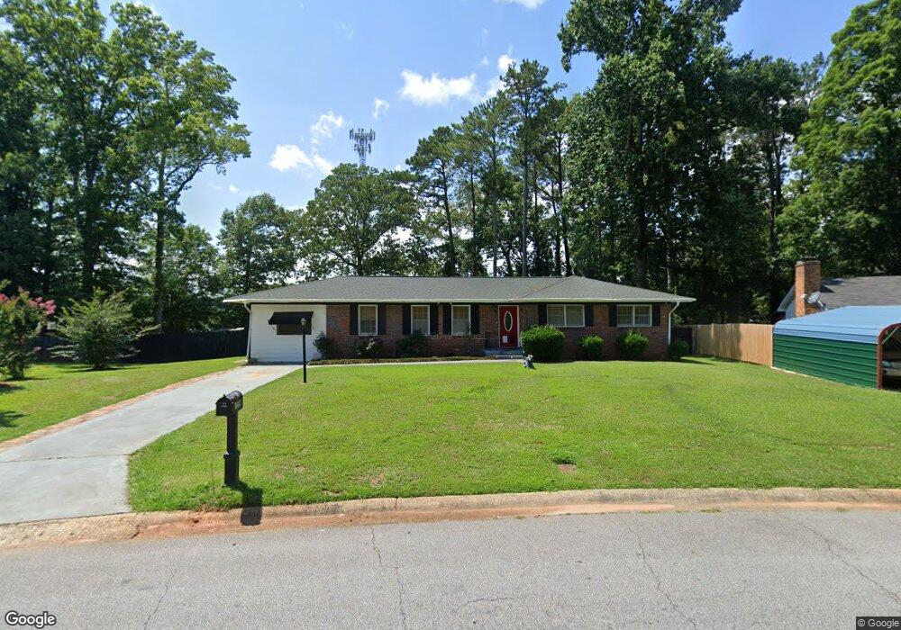
1559 Plover Rd Jonesboro, GA 30238
Estimated Value: $203,974 - $234,000
3
Beds
2
Baths
1,680
Sq Ft
$132/Sq Ft
Est. Value
About This Home
This home is located at 1559 Plover Rd, Jonesboro, GA 30238 and is currently estimated at $221,994, approximately $132 per square foot. 1559 Plover Rd is a home located in Clayton County with nearby schools including Kemp Primary School, Kemp Elementary School, and Eddie White Academy.
Ownership History
Date
Name
Owned For
Owner Type
Purchase Details
Closed on
Jun 11, 2024
Sold by
Lowe Victoria K
Bought by
Lowe Victoria Trust and Casey Mary Tr
Current Estimated Value
Purchase Details
Closed on
Jan 21, 2004
Sold by
Smith Kathryn E
Bought by
Lowe Victoria K
Home Financials for this Owner
Home Financials are based on the most recent Mortgage that was taken out on this home.
Original Mortgage
$93,200
Interest Rate
5.55%
Mortgage Type
VA
Create a Home Valuation Report for This Property
The Home Valuation Report is an in-depth analysis detailing your home's value as well as a comparison with similar homes in the area
Home Values in the Area
Average Home Value in this Area
Purchase History
| Date | Buyer | Sale Price | Title Company |
|---|---|---|---|
| Lowe Victoria Trust | -- | -- | |
| Lowe Victoria K | $47,000 | -- | |
| Lowe Victoria K | $47,000 | -- |
Source: Public Records
Mortgage History
| Date | Status | Borrower | Loan Amount |
|---|---|---|---|
| Previous Owner | Lowe Victoria K | $93,200 |
Source: Public Records
Tax History
| Year | Tax Paid | Tax Assessment Tax Assessment Total Assessment is a certain percentage of the fair market value that is determined by local assessors to be the total taxable value of land and additions on the property. | Land | Improvement |
|---|---|---|---|---|
| 2025 | $2,335 | $70,960 | $7,200 | $63,760 |
| 2024 | $2,452 | $72,840 | $7,200 | $65,640 |
| 2023 | $2,418 | $66,960 | $7,200 | $59,760 |
| 2022 | $1,579 | $50,240 | $7,200 | $43,040 |
| 2021 | $1,196 | $40,280 | $7,200 | $33,080 |
| 2020 | $926 | $33,156 | $7,200 | $25,956 |
| 2019 | $825 | $30,332 | $5,600 | $24,732 |
| 2018 | $560 | $23,784 | $5,600 | $18,184 |
| 2017 | $493 | $22,126 | $5,600 | $16,526 |
| 2016 | $591 | $24,521 | $5,600 | $18,921 |
| 2015 | $593 | $0 | $0 | $0 |
| 2014 | $444 | $21,135 | $5,600 | $15,535 |
Source: Public Records
Map
Nearby Homes
- 1589 Bonanza Church Rd
- 1596 Bonanza Church Rd
- 10664 Sandpiper Rd
- 1605 Plover Rd
- 10590 Thrasher Rd
- 1528 Carriage Ln
- 1441 Trellis Ct Unit (LOT 7)
- 1429 Trellis Ct Unit (LOT 9)
- 1434 Trellis Ct Unit (LOT 24)
- 1428 Trellis Ct Unit (LOT 23)
- 1428 Trellis Ct
- 10413 Trellis Ln Unit (LOT 33)
- 10429 Trellis Ln Unit (LOT 29)
- 10725 Barberry Dr Unit 5
- 1702 Cardinal Rd
- 10571 Starling Trail Unit II
- 1697 Cardinal Rd
- 1742 Cardinal Rd
- 10747 Thrasher Rd
- 1580 Pintail Rd
- 1553 Plover Rd
- 10580 Sandpiper Rd Unit IV
- 1563 Plover Rd
- 10588 Sandpiper Rd
- 10572 Sandpiper Rd
- 1555 Wren Rd
- 1570 Plover Rd
- 1545 Plover Rd
- 1563 Wren Rd
- 1565 Plover Rd
- 10560 Sandpiper Rd
- 1571 Wren Rd
- 1537 Plover Rd
- 1556 Plover Rd
- 1576 Plover Rd
- 1579 Wren Rd
- 1569 Plover Rd
- 10595 Sandpiper Rd
- 1587 Wren Rd
- 1546 Plover Rd
Your Personal Tour Guide
Ask me questions while you tour the home.