156 Brown Row Nanticoke, PA 18634
Estimated Value: $121,000 - $179,889
3
Beds
2
Baths
1,330
Sq Ft
$115/Sq Ft
Est. Value
About This Home
This home is located at 156 Brown Row, Nanticoke, PA 18634 and is currently estimated at $153,472, approximately $115 per square foot. 156 Brown Row is a home located in Luzerne County with nearby schools including Kennedy Early Childhood Center, Nanticoke Area Elementary Center Center, and Greater Nanticoke Area Senior High School.
Ownership History
Date
Name
Owned For
Owner Type
Purchase Details
Closed on
Nov 16, 2012
Sold by
Gardjulis Dianna L
Bought by
Leonard James P
Current Estimated Value
Home Financials for this Owner
Home Financials are based on the most recent Mortgage that was taken out on this home.
Original Mortgage
$62,671
Outstanding Balance
$44,038
Interest Rate
3.75%
Mortgage Type
FHA
Estimated Equity
$109,434
Purchase Details
Closed on
Jun 7, 2006
Sold by
Sedorchuk Henry A and Sedorchuk Ruth
Bought by
Gardjulis Dianna L
Create a Home Valuation Report for This Property
The Home Valuation Report is an in-depth analysis detailing your home's value as well as a comparison with similar homes in the area
Home Values in the Area
Average Home Value in this Area
Purchase History
| Date | Buyer | Sale Price | Title Company |
|---|---|---|---|
| Leonard James P | $63,829 | None Available | |
| Gardjulis Dianna L | -- | None Available |
Source: Public Records
Mortgage History
| Date | Status | Borrower | Loan Amount |
|---|---|---|---|
| Open | Leonard James P | $62,671 |
Source: Public Records
Tax History
| Year | Tax Paid | Tax Assessment Tax Assessment Total Assessment is a certain percentage of the fair market value that is determined by local assessors to be the total taxable value of land and additions on the property. | Land | Improvement |
|---|---|---|---|---|
| 2025 | $2,409 | $101,800 | $23,200 | $78,600 |
| 2024 | $2,409 | $101,800 | $23,200 | $78,600 |
| 2023 | $2,336 | $101,800 | $23,200 | $78,600 |
| 2022 | $2,318 | $101,800 | $23,200 | $78,600 |
| 2021 | $2,238 | $101,800 | $23,200 | $78,600 |
| 2020 | $2,222 | $101,800 | $23,200 | $78,600 |
| 2019 | $2,167 | $101,800 | $23,200 | $78,600 |
| 2018 | $2,093 | $101,800 | $23,200 | $78,600 |
| 2017 | $1,974 | $101,800 | $23,200 | $78,600 |
| 2016 | -- | $101,800 | $23,200 | $78,600 |
| 2015 | $1,544 | $101,800 | $23,200 | $78,600 |
| 2014 | $1,544 | $101,800 | $23,200 | $78,600 |
Source: Public Records
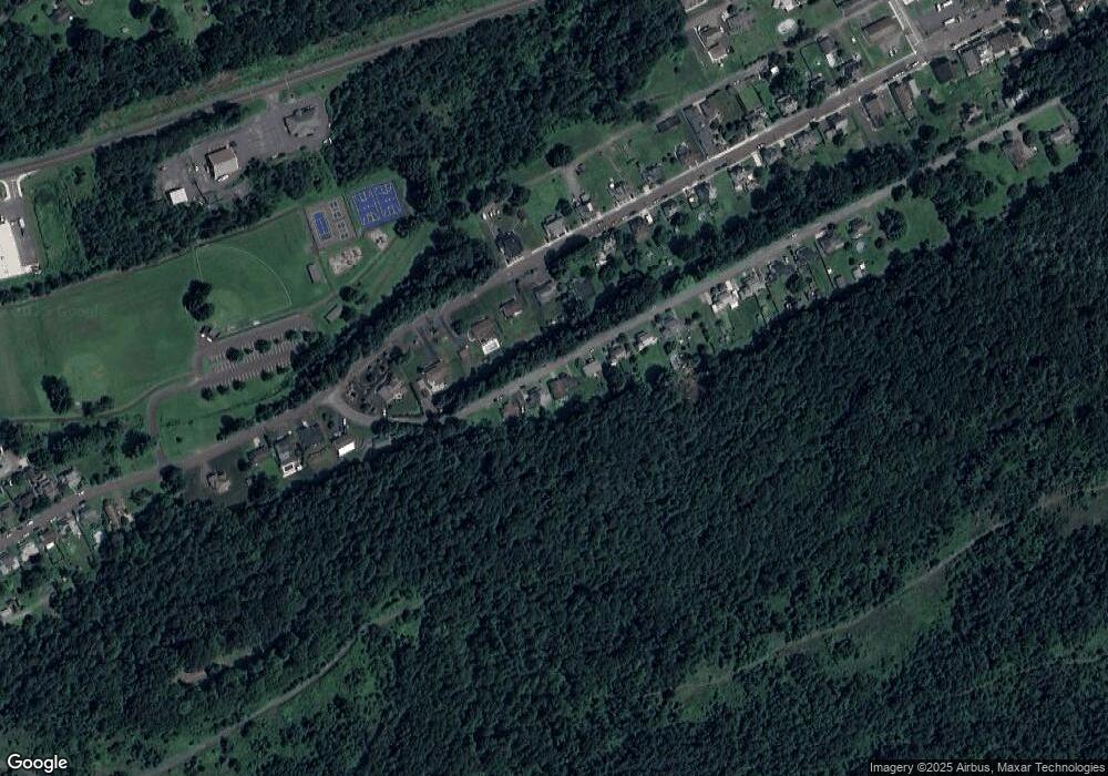
Map
Nearby Homes
- Hemlock St Hemlock St
- 0 Fine and Hemlock St
- 86 E Main St
- 64-64.5 W Ridge St
- 46 Arch St
- 8 Gruver St
- 1161 Blue Ridge Trail
- 7 Arch St
- 48 Charles St
- 321 W Union St
- 1045 Lincoln Ave
- 200 W Union St
- 215 W Green St
- 1201 S Hanover St
- 321 W Main St
- 131 W Union St
- 314 W Main St
- 65 W South St
- 12 Vista Dr
- Lot 55 Vista Dr