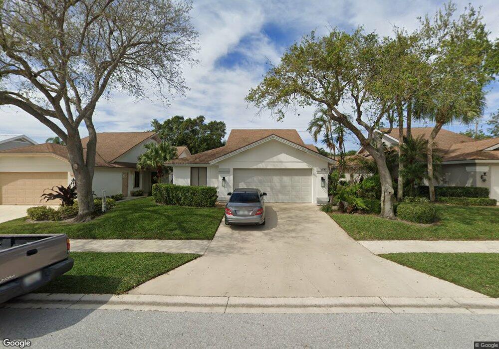
156 Cape Pointe Cir Jupiter, FL 33477
The Bluffs NeighborhoodEstimated Value: $925,000 - $1,143,000
3
Beds
2
Baths
1,889
Sq Ft
$537/Sq Ft
Est. Value
About This Home
This home is located at 156 Cape Pointe Cir, Jupiter, FL 33477 and is currently estimated at $1,013,681, approximately $536 per square foot. 156 Cape Pointe Cir is a home located in Palm Beach County with nearby schools including William T. Dwyer High School, Lighthouse Elementary School, and Beacon Cove Intermediate School.
Ownership History
Date
Name
Owned For
Owner Type
Purchase Details
Closed on
Apr 16, 1999
Sold by
Patterson Maria E
Bought by
Nimmo Robert G and Nimmo Donna M
Current Estimated Value
Home Financials for this Owner
Home Financials are based on the most recent Mortgage that was taken out on this home.
Original Mortgage
$128,000
Interest Rate
7.08%
Mortgage Type
New Conventional
Create a Home Valuation Report for This Property
The Home Valuation Report is an in-depth analysis detailing your home's value as well as a comparison with similar homes in the area
Home Values in the Area
Average Home Value in this Area
Purchase History
| Date | Buyer | Sale Price | Title Company |
|---|---|---|---|
| Nimmo Robert G | $160,000 | -- |
Source: Public Records
Mortgage History
| Date | Status | Borrower | Loan Amount |
|---|---|---|---|
| Previous Owner | Nimmo Robert G | $40,000 | |
| Previous Owner | Nimmo Robert G | $128,000 |
Source: Public Records
Tax History
| Year | Tax Paid | Tax Assessment Tax Assessment Total Assessment is a certain percentage of the fair market value that is determined by local assessors to be the total taxable value of land and additions on the property. | Land | Improvement |
|---|---|---|---|---|
| 2025 | $3,677 | $252,583 | -- | -- |
| 2024 | $3,677 | $245,465 | -- | -- |
| 2023 | $3,616 | $238,316 | $0 | $0 |
| 2022 | $3,602 | $231,375 | $0 | $0 |
| 2021 | $3,559 | $224,202 | $0 | $0 |
| 2020 | $3,552 | $221,107 | $0 | $0 |
| 2019 | $3,505 | $216,136 | $0 | $0 |
| 2018 | $3,327 | $212,106 | $0 | $0 |
| 2017 | $3,313 | $207,743 | $0 | $0 |
| 2016 | $3,314 | $203,470 | $0 | $0 |
| 2015 | $3,395 | $202,056 | $0 | $0 |
| 2014 | $3,440 | $200,452 | $0 | $0 |
Source: Public Records
Map
Nearby Homes
- 181 Cape Pointe Cir
- 238 River Park Dr
- 126 Cape Pointe Cir
- 125 Cape Pointe Cir
- 3071 30th Ct
- 246 Ridge Rd
- 3038 30th Ct
- 125 Seashore Dr
- 101 Cape Pointe Cir
- 316 River Edge Rd
- 228 Ridge Rd
- 216 Ridge Rd
- 329 Leeward Dr
- 125 Sand Pine Dr
- 334 Leeward Dr
- 401 Ocean Bluffs Blvd Unit 2050
- 401 Ocean Bluffs Blvd Unit 4020
- 150 Beach Summit Ct
- 352 River Edge Rd
- 2041 Staysail Ln
- 154 Cape Pointe Cir
- 158 Cape Pointe Cir
- 152 Cape Pointe Cir
- 257 E River Park Dr
- 259 E River Park Dr
- 150 Cape Pointe Cir
- 259 River Park Dr
- 255 River Park Dr
- 255 E River Park Dr
- 162 Cape Pointe Cir
- 253 River Park Dr
- 253 E River Park Dr
- 148 Cape Pointe Cir
- 178 Cape Pointe Cir
- 164 Cape Pointe Cir
- 251 E River Park Dr
- 149 Cape Pointe Cir
- 146 Cape Pointe Cir
- 3221 32nd Ct
- 3229 32nd Ct
Your Personal Tour Guide
Ask me questions while you tour the home.